
Latest from Coptrz
Stay updated with the latest insights, tips, and industry news on our blog. Discover expert advice, success stories, and innovative uses of drone technology. Our blog features a diverse range of topics to keep you informed and inspired.
All Posts
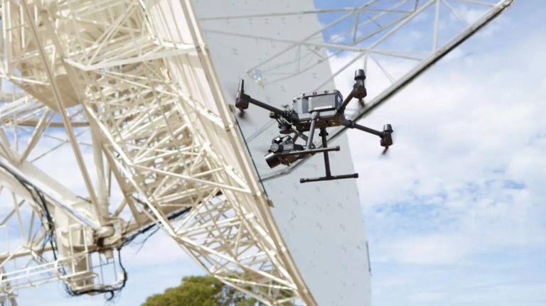
Enhancing Radio Telescope Precision with UAV Photogrammetry
In the realm of geospatial research, precision is paramount. The University of Tasmania’s recent project exemplifies how integrating advanced UAV photogrammetry can significantly enhance the accuracy of radio telescope measurements. The Challenge The Mount Pleasant Radio Telescope Observatory in Hobart houses a 26-meter radio telescope crucial for Positioning, Navigation, and Timing (PNT) research. Over time, […]
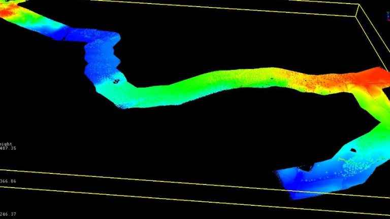
A One-Day, Multi-Sensor Drone Mission
In the ever-evolving field of geospatial data collection, efficiency and precision are paramount. Aeromedia U.A.V., S.L., a Spanish aerial survey specialist, recently demonstrated how integrating multiple drone-mounted sensors can achieve both. The Mission Tasked with surveying a 10-kilometer corridor encompassing both land and water near the Ruecas reservoir in Cáceres, Spain, Aeromedia faced the challenge […]
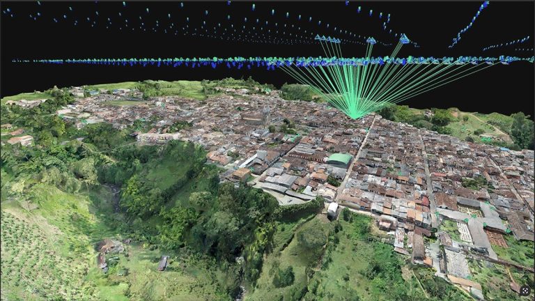
Cadastral digitisation made easy with PIX4Dmatic
Digitising cadastral surveys is pivotal for modernising land management and urban planning. Traditional methods often involve extensive fieldwork, which can be time-consuming, costly, and challenging, especially in areas with complex terrains or limited accessibility. However, advancements in drone technology and photogrammetry software have revolutionized this process, enabling efficient and precise data collection. A compelling example […]
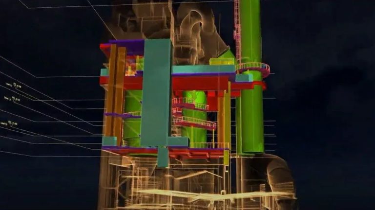
How Elios 3 is Transforming Scan to BIM in Confined and Complex Spaces
In the world of infrastructure and industrial inspection, Building Information Modelling (BIM) has become a standard. But capturing the data to feed these models—especially in hazardous or hard-to-reach areas—remains a challenge. That’s where Flyability’s Elios 3 steps in. With its collision-tolerant design and industry-leading LiDAR payload, the Elios 3 is enabling faster, safer, and more […]
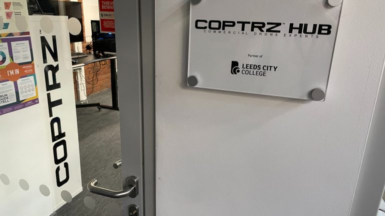
The Role of Drones in Education: Enhancing Surveying, Construction, and Beyond
Drones, or Unmanned Aerial Vehicles (UAVs), have revolutionised various industries, including education. In the UK, institutions are increasingly integrating drones into their curriculum, particularly in surveying, construction, and other technical fields. Their ability to provide real-time data, improve safety, and enhance learning experiences makes them invaluable tools for students and professionals alike. Drones in Surveying […]
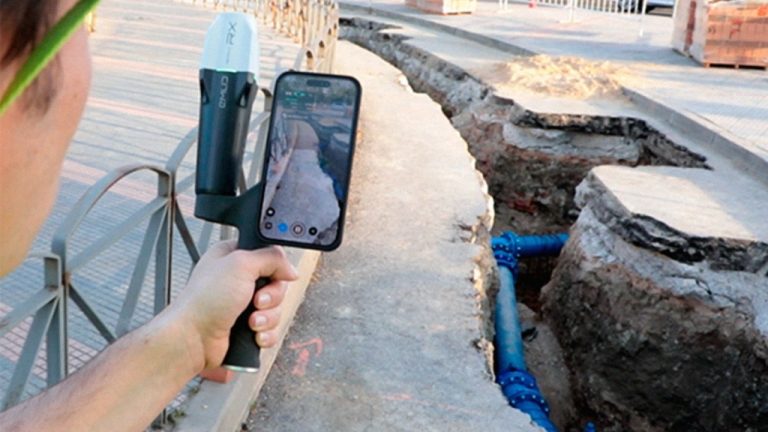
Revolutionising Utility Mapping: The Power of Gaussian Splatting
In the realm of utility management, accurately documenting underground infrastructures has always been a complex challenge. Traditional methods often fall short, leading to data gaps and incomplete visualizations. Enter Pix4D Gaussian splatting—a groundbreaking technique that’s redefining how we capture and visualise subterranean utilities. The Limitations of Conventional Methods Historically, surveying underground utilities involved hiring land […]
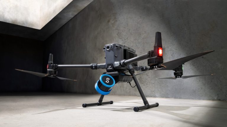
Why Emesent’s Hovermap ST-X is Redefining SLAM LiDAR Mapping Accuracy in 2025
The LiDAR mapping space is no stranger to innovation, but every now and then, a technology sets a new benchmark that redefines expectations. Emesent’s latest Hovermap Accuracy Report delivers exactly that. Based on independent testing at GeoWeek 2024 and head-to-head comparisons with both SLAM and TLS systems, the Hovermap ST-X emerges not just as a […]

DJI Matrice 4 Series vs. DJI Mavic 3 Enterprise Series: A Comprehensive Comparison
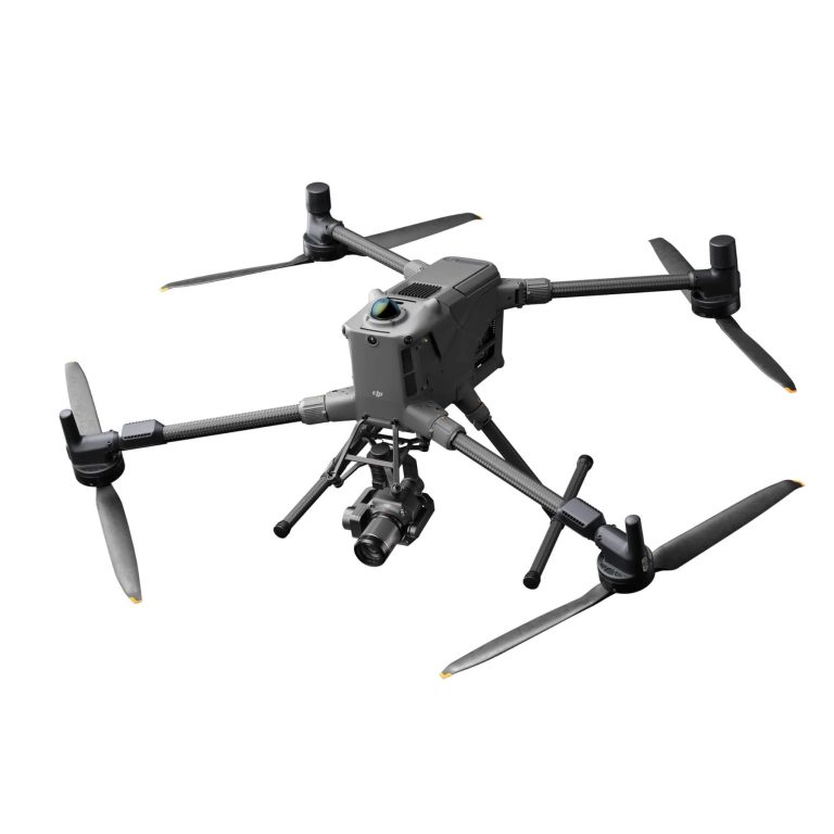
With the introduction of DJI’s latest enterprise drone the Matrice 4 series, you may now be faced with a decision on which suits you best, the Matrice 4 Series or the Mavic 3 Enterprise Series. Both are designed to meet the diverse needs of professionals across various industries, but they differ significantly in capabilities, design, and applications. This […]
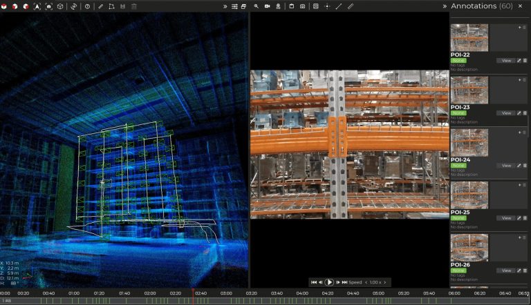
How Amazon have redefined asset management with the Flyability Elios 3
At Coptrz, we are dedicated to equipping businesses with the most innovative drone technology to transform their operations. As the exclusive reseller of Flyability products in the UK, we empower organisations to digitise their assets, enhance operational safety, and streamline workflows. The latest addition to Flyability’s product suite, the Asset Management Software, has revolutionised how companies like Amazon and […]

What Does LiDAR Stand For? Everything You Need To Know About Light Detection And Ranging
In recent years, LiDAR technology has emerged as a powerful tool across various industries, revolutionising everything from surveying and mapping to autonomous vehicles and environmental monitoring. But what exactly is LiDAR, and how does it work? This blog dives deep into the world of LiDAR, explaining its underlying principles, different types, and applications, and why […]
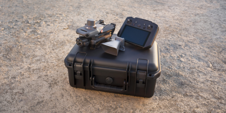
How Much Does a Drone Cost? A Full Cost Breakdown 2024
Drones have become an integral part of both personal and professional landscapes, offering unparalleled opportunities in photography, surveying, agriculture, and more. As their popularity grows, so does the variety of options available, each with its own price point and set of features. Understanding the costs associated with different types of drones is crucial for potential […]

DJI Mini 3 Pro Drone Gets a Fresh Firmware Update 2024
DJI has just dropped a brand-new firmware update for their incredibly versatile Mini 3 Pro drone. If you’re a proud owner of this drone, it’s time to get excited! What’s New? The Mini 3 Pro aircraft firmware has been updated to version 01.00.0900. Alongside this, there are new firmware versions for the remote controllers: RC-N1 […]
Accreditations
Recognised for excellence. Explore the industry certifications that validate our commitment to quality, compliance, and continuous improvement.
ISO 9001 Certified
Certified quality management systems for consistent service and customer satisfaction.
ISO 14001 Certified
Internationally recognised standard for environmental management and commitment to sustainable operations.

Cyber Essentials & Cyber Essential Plus
Government-backed certification demonstrating the highest level of commitment to robust cyber security.

The Equality Register Member
Committed to promoting equality, diversity, and inclusive practices across our entire organisation.

VQA Recognised Centre
An officially recognised centre for VQA (formerly Training Qualifications UK), delivering high-standard regulated qualifications

Registered with Elcas
Approved by the Enhanced Learning Credits Administration Service to provide funded training for Armed Forces personnel.

UK CAA Recognised Assessment Entity: RAE15510
CAA-approved to deliver drone training and assessment for RPC-L1, GVC and A2 CofC qualifications.

FCA Registered
Authorised and regulated by the FCA for consumer finance activities.
UK SORA & BVLOS Operations: SORA-28947, SORA-29134
Helping organisations obtain Operational Authorisations for BVLOS and other complex drone operations using the UK SORA framework.

Ofqual Regulated Training
Delivering prestigious, government-regulated training programmes that guarantee educational excellence and industry recognition.
★★★★★
Over 1,500 five-star reviews. Rated 4.9/5 across Google, Trustpilot and REVIEWS.io


