Pix4Dfields
Revolutionising the Agricultural Industry
Agriculture is evolving with the advent of cutting-edge technology across industries. Among these advancements, Pix4DFields stands out as a transformative software, harnessing the power of technology and agronomic expertise. Designed specifically for agriculture, Pix4DFields employs advanced drone imagery and analytical systems to provide farmers with invaluable insights into crop health and yield optimisation.

High-Resolution Mapping
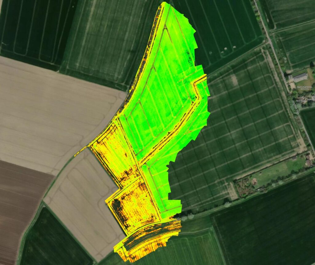
Pix4DFields delivers exceptionally high-resolution maps, enabling users to meticulously inspect even the tiniest details of their fields. These maps are generated through advanced algorithms that process multispectral drone imagery.

Accurate Index Calculations
The software excels in calculating various vegetative indices, such as NDVI (Normalised Difference Vegetation Index) and NDRE (Normalised Difference Red Edge), aiding in the assessment of plant health and stress levels.

Farm Management Systems Integration
Pix4DFields seamlessly integrates with existing farm management systems, allowing users to apply its data to broader agricultural strategies effortlessly.
Commercial Uses

Agriculture & Forestry

Real-Time Results
Pix4DFields offers real-time data processing capabilities, enabling immediate, data-driven decisions. This addresses a significant limitation of traditional methods.

Customisable Adjustments
Users can create customisable zones within their fields based on specific criteria, such as soil type, crop variety, or growth stage. This allows for targeted management practices.

User-Friendly Interface
Despite being an ultra-modern technological product, Pix4DFields is simple to use. It is designed for farmers who may not be tech-savvy, featuring a user-friendly interface accessible to all.

Optimised Resource Allocation
Pix4DFields empowers farmers to optimise resource allocation through precise data analytics. It pinpoints specific areas within a field requiring attention, whether it’s irrigation, fertiliser, or pest control. This targeted approach reduces input costs while increasing output.

Sustainability
In an era where sustainability is paramount, Pix4DFields helps reduce the overuse of chemicals and water, ultimately lowering the environmental footprint of farming operations. This software supports the sustainability goals of modern agriculture by promoting balance.
Buy Pix4Dfields
FAQs
Pix4DFields is an advanced software tool designed to enhance agriculture through the use of drone imagery and data analytics for improved crop management.
It provides high-resolution maps and vegetative indices to assess crop health, enabling early detection of issues.
It ensures the accurate application of inputs, reduces waste, and improves crop yield and health.
Yes, it features an inviting interface designed to be accessible to users with varying levels of technical expertise.
Related Training


Related products
-

Premium Positioning RTK Licence
Price range: £0.00 through £975.00 Excl. VATPix4Dmatic
Price range: £0.00 through £5,831.86 Excl. VATDJI FlightHub 2
£1,019.00 Excl. VAT
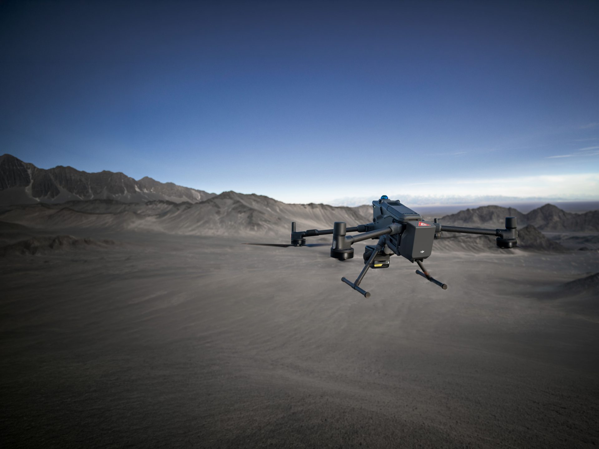
DJI Mavic 3 Multispectral
£3,272.00 Excl. VATRelated Guides

Multispectral Imagery Explained

Drones for Surveying Guide – Download
Related Case Studies

Blackthorn Arable
Blackthorn Arable Ltd collaborates with Coptrz to enhance farming methods through drone technology. Using the DJI Mavic 3 Multispectral and Pix4D, they aim to make better farming decisions and optimise crop management, pioneering innovations in sustainable agriculture.


Latest From Coptrz
 10th July
Inspection work fails commercially when pilot competence is treated lightly
 NEW
NEWDJI Matrice 400
Become a Drone Pilot
Unlock your business potential with drone technology