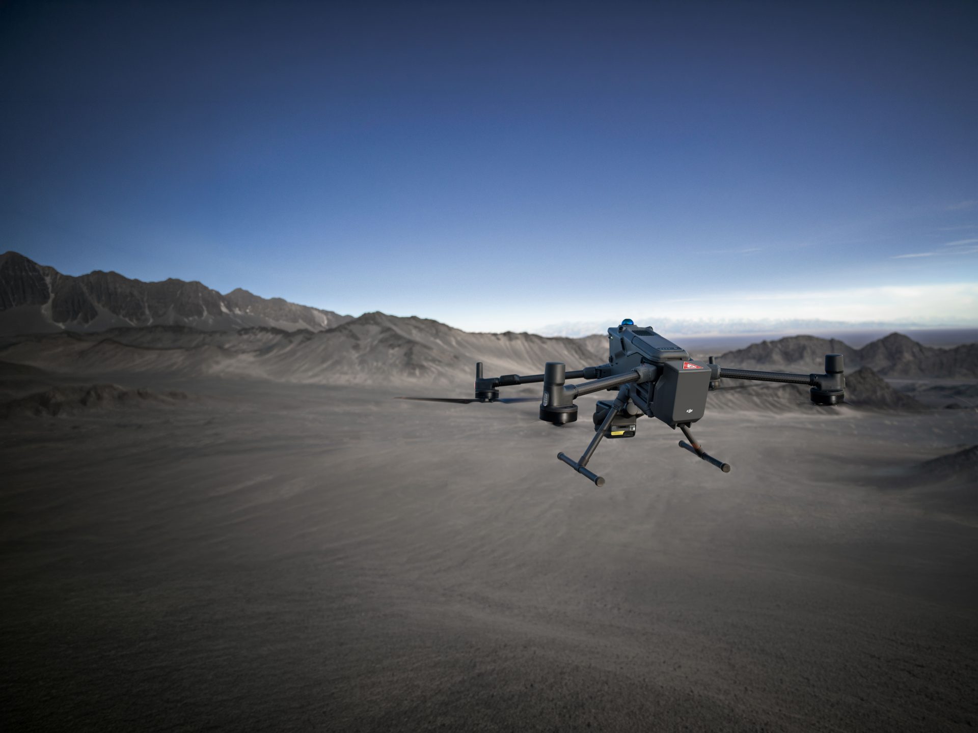
LiDAR Snoopy A-Series
Advanced LiDAR Technology
Integrated GNSS/IMU Systems
Versatile Mounting Options
High-Accuracy LiDAR Mapping Solutions
The LiDAR USA Snoopy A-Series delivers cutting-edge LiDAR technology for precise and efficient mapping and surveying. With versatile mounting options and integrated GNSS/IMU systems, it ensures accurate data collection for a wide range of applications.

Advanced LiDAR Technology
The Snoopy A-Series is equipped with state-of-the-art LiDAR sensors, providing high-resolution point cloud data for detailed mapping and surveying tasks.

Integrated GNSS/IMU Systems
The integrated GNSS/IMU systems enhance data accuracy by providing precise georeferencing, making it ideal for detailed mapping and surveying projects.

Real-Time Data Transmission
The sensor provides real-time data transmission and visualisation, enabling immediate analysis and decision-making during inspection missions.
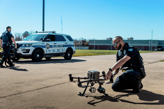
Commercial Uses

Surveying & Construction

Agriculture & Forestry

Research & Education

Rugged and Reliable Performance
The Snoopy A-Series is designed to operate reliably in various environmental conditions, ensuring consistent data quality and operational efficiency.

Efficient Data Collection
With high-speed data acquisition capabilities, the Snoopy A-Series allows for efficient and comprehensive data collection, reducing the time and costs associated with traditional surveying methods.

Seamless Integration with Software
The Snoopy A-Series is compatible with various post-processing and GIS software, facilitating easy data analysis and visualisation.
Buy LiDAR Snoopy A-Series
FAQs
The Snoopy A-Series is an advanced LiDAR mapping system designed for high-precision data collection with versatile mounting options.
Applications include topographic mapping, forestry management, infrastructure inspection, environmental monitoring, urban planning, construction site surveying, mining, archaeology, disaster response, and agriculture.
It features advanced LiDAR sensors and integrated GNSS/IMU systems for precise georeferencing and high-resolution point cloud data.
The system can be mounted on UAVs, vehicles, backpacks, and more, offering flexible deployment options.
Yes, it is built to operate reliably in various environmental conditions, ensuring consistent data quality and operational efficiency.
Its high-speed data acquisition capabilities allow for efficient and comprehensive data collection, reducing the time and costs associated with traditional surveying methods.
The system is compatible with various post-processing and GIS software, ensuring seamless integration into existing workflows.
It provides accurate and detailed mapping data, which is essential for effective urban planning, infrastructure development, and environmental monitoring.
Drones

Related Training


Software


Related products
-

Sky Hero LED Light Distraction System
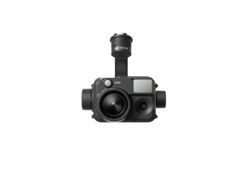
DJI Zenmuse H30
£3,234.00 Excl. VAT
DJI AS1 Speaker
£165.00 Excl. VATAgEagle MicaSense RedEdge-P
Price range: £7,995.00 through £8,471.00 Excl. VAT


Latest From Coptrz
 8th July
Public safety drone teams need competence they can defend under pressure
 NEW
NEWDJI Matrice 400
Become a Drone Pilot
Unlock your business potential with drone technology