Public Safety
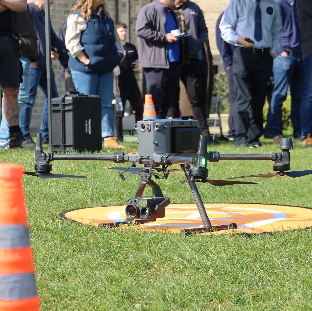
Inspection drones combine their aerial advantage with high-resolution cameras, accurate asset modelling, thermal sensors, and powerful zoom capabilities to enhance inspection efficiency and safety.
- Enhanced Efficiency
- Improved Safety
- Cost Savings Up To 90%
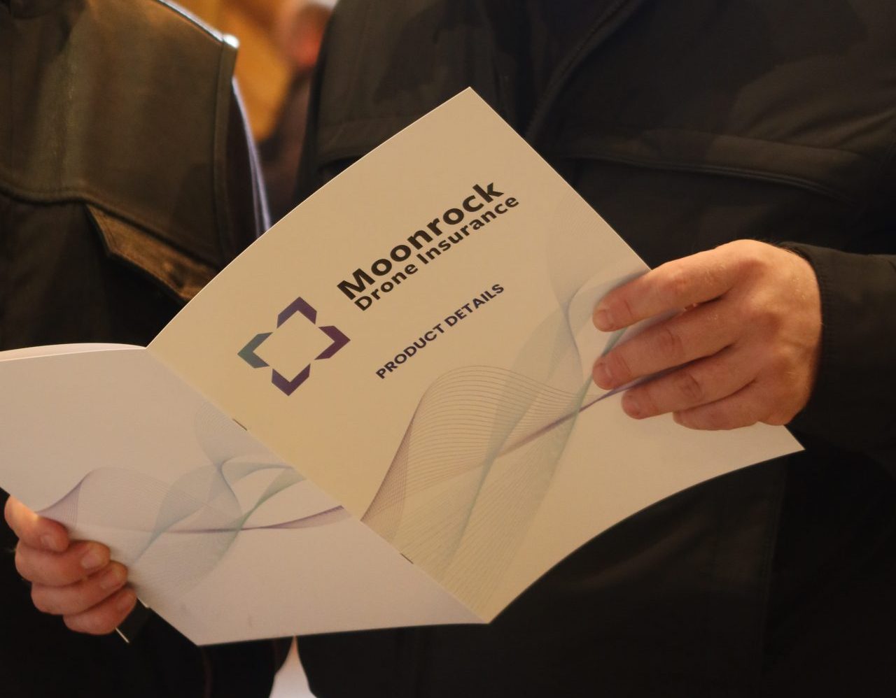
Download the Public Sector Drone Investment Literature
Inspection drones combine their aerial advantage with high-resolution cameras.

Faster, Smarter, And Safer Missions

Enhanced Efficiency
Drones provide real-time aerial views of emergency scenes, allowing first responders to assess situations quickly and accurately. With high-resolution cameras and thermal imaging, drones deliver critical information for informed decision-making. They can also livestream feeds across team devices, ensuring coordinated and effective response efforts.

Faster Response Times
Launch a drone in as little as 50 seconds from anywhere and cover ground 86% faster than ground teams. Drones can quickly survey large areas and access locations that are difficult or dangerous for personnel, significantly reducing response times in emergencies, whether it's a fire, a crime scene, or a search and rescue operation.

Improved Safety
Drones significantly lower expenses by eliminating the need for costly manned aircraft, reducing labour costs, and minimising setup and operation time. This allows more frequent, efficient aerial surveillance and better resource allocation in emergencies and critical situations.

Data Collection
Capture high-quality aerial data to generate accurate 2D and 3D models, building information models, aerial maps, land surveys, and more. Data such as thermal imaging and LiDAR detects heat variations, leaks, insulation defects, electrical problems, and provides precise spatial eliminating the need for manual measurements.
Cutting Edge Technology

Mission Live Streaming
Connect multiple devices to the drone live feed simultaneously, and keep teams updated with the latest developments in the mission.

Live Annotations
Identify and highlight objects or areas of interest on the drone app's map. These annotations are accessible to ground teams, pilots, and other team members, ensuring streamlined communication.

Streamlined Team Communication
Synchronise important information such as team positions, drone status, mission details, and more in real-time across various devices, for easy team collaboration and efficiency.

Police Operations
Drones are faster than conventional vehicles, reaching a location within minutes of an emergency request before human responders arrive. By providing quick overhead views of emergency scenes, drones enhance coordination, tactical planning, and foresight. Equipped with thermal imaging, drones can locate suspects hiding in foliage, tall grass, or darkness. Live drone feeds deliver real-time video which can be shared among officers for quicker and more informed decision-making.
Firefighting
Thermal drones quickly identify and assess hotspots in a fire, as well as indicating the direction of the blaze and smoke paths for pre-warning. This enables firefighters to strategically focus their efforts on extinguishing the fire. Their rapid deployment and extensive coverage area make them a superior alternative to traditional methods, capturing the dynamic nature of fires from the air and allowing accurate assessment of size, spread, and behaviour


Search and Rescue (SAR)
Drones are crucial in SAR operations, especially in challenging terrains like forests, mountains, or disaster-stricken areas. They can quickly locate missing persons, deliver supplies, and provide real-time footage to guide rescue teams. Drones equipped with thermal cameras are invaluable in locating missing persons, even in conditions like darkness, dense foliage, or tall grass. Additionally, drones can be equipped with loudspeakers to broadcast messages, spotlights to illuminate search areas, and other tools to attract and assist the missing person.
Disaster Response
After natural disasters, drones quickly survey affected areas to assess damage, locate survivors, and identify hazards for effective resource deployment and rescue efforts. Process drone imagery into accurate, to-scale orthomosaic maps or 3D digital twins of areas, floodplains, and buildings. These can be analysed to support national and local decision-making, enhancing emergency preparedness planning before disaster strikes.


Accident Scene Reconstruction
Drones capture detailed images and videos of accident scenes for reconstruction and analysis, helping investigators understand causes and develop preventive measures. A single drone flight can collect hundreds of images to create accurate 2D maps and 3D models in as little as eight minutes. This speeds up site mapping and evidence gathering to just 20-30 minutes, allowing officers to clear scenes faster and reopen roads sooner. The detailed maps and bird's-eye view provide vital evidence and enhance situational awareness, reducing traffic backlog caused by road closures.
FAQs
Drones can be used in a variety of emergency situations, including natural disasters, fires, search and rescue operations, crime scene investigations, and hazardous material incidents.
Drones provide real-time aerial views, thermal imaging, and high-resolution video feeds, giving first responders a comprehensive overview of the emergency scene. This enhances decision-making and coordination.
Yes, drones equipped with night vision or thermal cameras can effectively operate in low-light or nighttime conditions, making them useful for search and rescue missions and surveillance after dark.
Drones can be deployed quickly and reach affected areas faster than ground vehicles, providing immediate situational assessment and reducing the overall response time.
Drones reduce the need for emergency responders to enter hazardous or unstable environments. They can assess dangers from a safe distance, minimising the risk to human life.
Drones equipped with advanced sensors like LiDAR, thermal cameras, and high-resolution cameras collect highly accurate data, which is crucial for detailed analysis and effective response planning.
Yes, drones are invaluable in search and rescue operations, especially in difficult terrains. They can locate missing persons using thermal imaging, deliver supplies, and provide real-time video to guide rescue teams.
In disaster response, drones survey affected areas to assess damage, locate survivors, and identify hazards. They also help in mapping floodplains and creating disaster preparedness profiles.
Drones capture detailed images and videos of accident scenes, which can be used to create 2D maps and 3D models. This helps in understanding the causes of accidents and collecting evidence quickly.
Drones reduce the need for expensive manned aircraft, lower labour costs, and minimise the time and resources required for setup and operation, making emergency response more efficient and cost-effective.
By providing quick and efficient data collection, drones reduce the duration and manpower needed for various emergency response tasks, leading to significant savings in operational expenses.
Yes, the use of drones can lead to long-term cost savings by enhancing preventive measures, improving resource allocation, and reducing the frequency and severity of incidents through timely and accurate interventions.
Book your FREE online consultation
Experience the unique advantage of our 360° drone solutions exclusively at Coptrz. With a network of over 20 partnerships with top-tier drone technology manufacturers, we're uniquely positioned to provide a tailored solution that you won't find elsewhere.
Impartial Expertise for
Commercial Drone Integration
End-to-end Drone Solutions
Complete drone solutions, including hardware, software, pilot training, repairs and support.
Impartial Advice
Industry experts work closely with you to find the best solution for your organisation.
UK's Widest Drone Selection
We're not limited to one brand, we offer the UK's widest range of world-renowned suppliers.