43-51 min
Flight time across the range
15-30 km
O3+ / O4+ transmission range
360°
Omnidirectional obstacle sensing on every model
7 models
Creative and enterprise payloads on one platform
43-51 min
Flight time across the range
15-30 km
O3+ / O4+ transmission range
360°
Omnidirectional obstacle sensing on every model
7 models
Creative and enterprise payloads on one platform
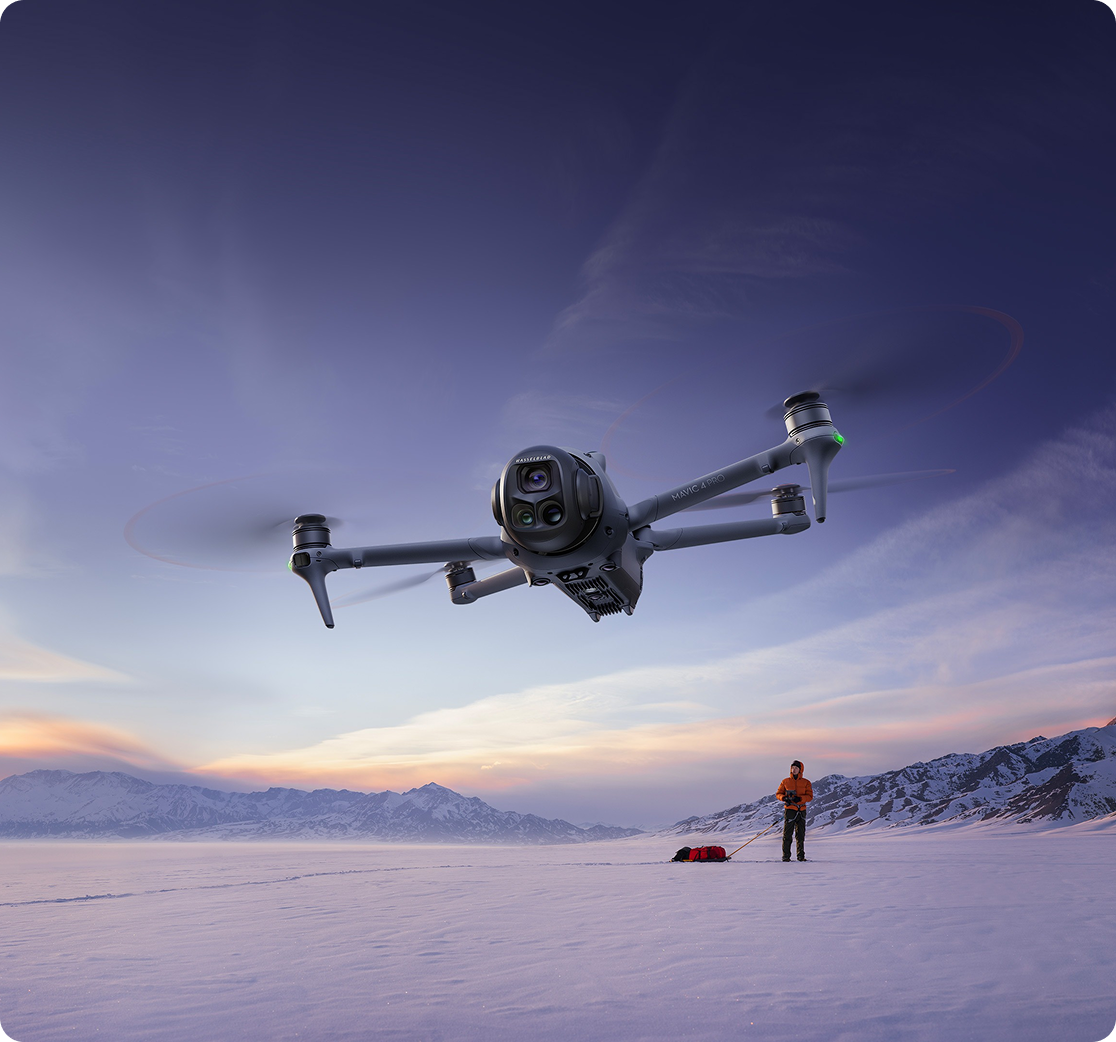
Professional Drones. Built For Real Work.
The Mavic range sits between the ultralight Mini series and the heavyweight Matrice platforms. It gives you sensor quality and flight endurance that hold up to commercial scrutiny, in an airframe one person can carry to site and launch on their own.
That balance is why the Mavic has become the default working drone across so many UK sectors. Film crews use it for principal aerial photography. Surveyors use it to produce accurate 2D and 3D deliverables without laying ground control. Inspection teams use it to check assets at height without scaffolding or rope access. Fire and rescue teams use it to find people in the dark.
Coptrz supplies the full DJI Mavic series with commercial pricing, UK stock, training through Coptrz Academy, repairs, servicing and ongoing technical support. You are buying a workflow, not just an airframe.
Products in The Range
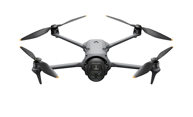
The flagship. Three cameras, 51 minutes, and a gimbal that rotates a full 360 degrees.
100MP 4/3 CMOS | 6K/60fps HDR | 51 min | 41 km range | O4+ 30 km | Triple camera
The Mavic 4 Pro carries a 100MP 4/3 CMOS Hasselblad main camera with a variable f/2.0 to f/11 aperture, backed by a 48MP medium tele and a 50MP tele camera. The Infinity Gimbal rotates through 360 degrees, so Dutch angles and vertical shots come straight out of the camera with no post work. Six fisheye sensors read down to 0.1 lux and forward LiDAR handles braking in near darkness. Standard version ships with 64GB onboard storage, and the Creator Combo adds a 512GB SSD for ALL-I 4:2:2 recording.
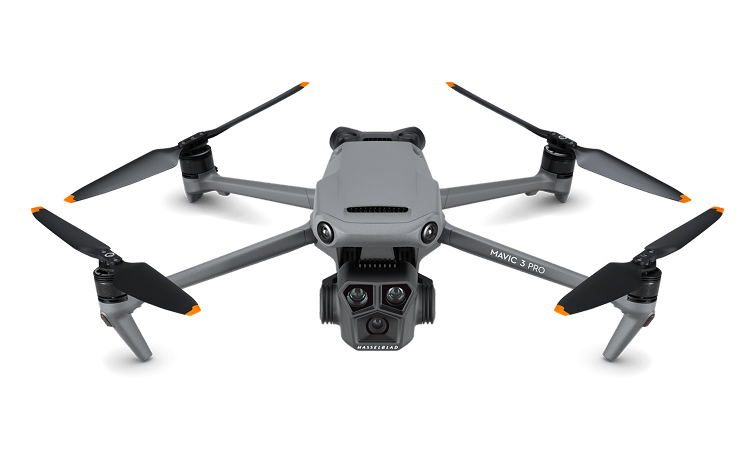
Triple-camera Hasselblad imaging at a price that works for smaller crews.
20MP 4/3 CMOS | 5.1K/50fps | 43 min | 15 km O3+ | 28× hybrid zoom | Triple camera
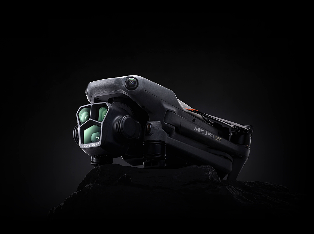
The Mavic 3 Pro pairs a 4/3 CMOS Hasselblad camera with a 70mm medium tele and a 166mm tele, giving you three focal lengths on one gimbal. Colour comes through the Hasselblad Natural Colour Solution, and the tele reach lets you compress perspective or stand well back from a subject. FocusTrack, MasterShots and Panorama are built in. Still one of the most cost effective ways into professional aerial photography.
One camera, done properly. The most affordable route to 4/3 Hasselblad imaging.
20MP 4/3 CMOS | 5.1K/50fps | 46 min | 15 km O3+ | Omnidirectional sensing
The Mavic 3 Classic strips out the tele cameras and keeps the sensor that matters. You get the same 20MP 4/3 CMOS Hasselblad camera, 5.1K/50fps video, 46 minutes of flight and full omnidirectional obstacle sensing. If your work is wide-angle aerial photography and video rather than long-lens detail, this is the sensible buy.
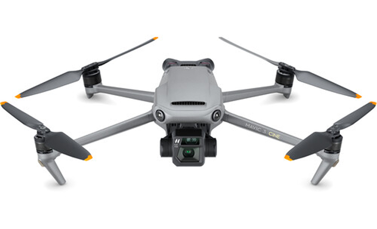
Apple ProRes recording and 1TB of internal storage for post-heavy productions.
20MP 4/3 CMOS | 5.1K/50fps ProRes 422 HQ | 46 min | 1TB SSD | Dual camera
The Mavic 3 Cine adds Apple ProRes 422 HQ recording and a 1TB internal SSD to the dual-camera Mavic 3 platform, alongside the 162mm tele with 28× hybrid zoom. Built for productions where the grade matters and long-GOP footage will not survive the edit. Ships with the DJI RC Pro controller.
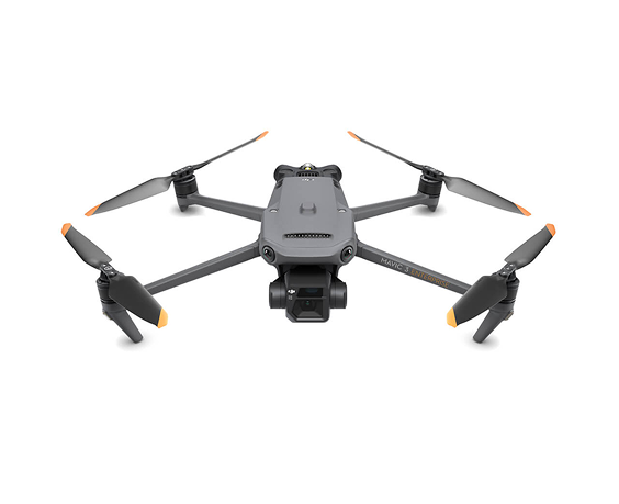
Survey-grade mapping from a drone that fits in the palm of your hand.
20MP 4/3 mechanical shutter | 12MP 56× zoom | 45 min | 2 km² per flight | RTK ready
The M3E is built around surveying. The 20MP 4/3 CMOS wide camera has a mechanical shutter that eliminates motion blur and shoots at 0.7 second intervals, so you can fly fast without smearing the imagery. Add the RTK module for centimetre-level accuracy and you can produce 2D and 3D deliverables without ground control points. Cover up to two square kilometres in a single flight. Terrain Follow, Smart Oblique Capture, Live Mission Recording and linear mission planning all come as standard, and the 12MP tele gives you 56× max hybrid zoom for detail inspection from a safe distance
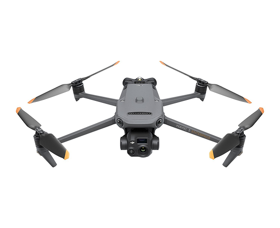
Radiometric thermal, 56× zoom and 45 minutes, in one compact airframe.
640×512 thermal | 48MP wide | 12MP 56× zoom | 45 min | 28× side-by-side zoom
The M3T swaps the mapping camera for a 640×512 radiometric thermal sensor. You get point and area temperature measurement, high temperature alerts, selectable colour palettes and isotherms, so anomalies are obvious in the air rather than back at the desk. Split screen runs thermal and visual side by side with 28× continuous zoom for direct comparison. Used across firefighting, search and rescue, solar and substation inspection, roof surveys and night operations. Pair it with Thermal Analysis Tool 3 for reporting
Five spectral bands and built-in RTK for precision agriculture.
20MP RGB | 4× 5MP multispectral | Built-in RTK | 43 min | 200 ha per flight
The M3M carries a 20MP RGB camera plus four 5MP multispectral sensors covering green, red, red edge and near infrared. That combination picks up crop stress, nutrient deficiency, weed pressure and disease well before it is visible to the eye. Built-in RTK and microsecond time synchronisation give centimetre level positioning with no ground control, and coverage runs to 200 hectares per flight. Output feeds straight into DJI Terra, DJI SmartFarm or Pix4Dfields to generate prescription maps for variable rate application
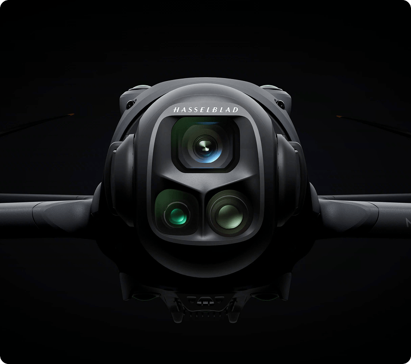
Three Cameras.
One Airframe.
Multi-camera Mavics let you change focal length without changing aircraft. On the Mavic 4 Pro that means a 100MP 4/3 Hasselblad for wide establishing shots, a 48MP 70mm medium tele for portraits and orbital vehicle work, and a 50MP tele for isolating subjects and pulling detail out of a skyline. The Mavic 3 Pro runs the same three-lens principle at 20MP with a 166mm tele and 28× hybrid zoom.
For commercial operators the practical benefit is fewer flights and fewer repositions. One take-off can deliver the wide, the mid and the tight.
Survey Grade Without The Groundwork
Ground control points cost time. The Mavic 3 Enterprise removes most of that. The mechanical shutter kills motion blur, 0.7 second intervals keep the aircraft moving, and the RTK module locks positioning to centimetre level. Terrain Follow adjusts altitude across changing elevation with no external elevation data to import, and Smart Oblique Capture rotates the gimbal in three directions so two passes gather everything a 3D model needs.
The result is accurate stockpile volumes, construction progress records and scaled digital twins produced from a drone one person carries to site. The Mavic 3 Multispectral takes the same RTK precision into agriculture with built-in positioning as standard.
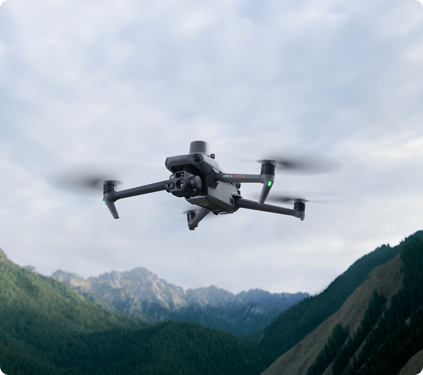
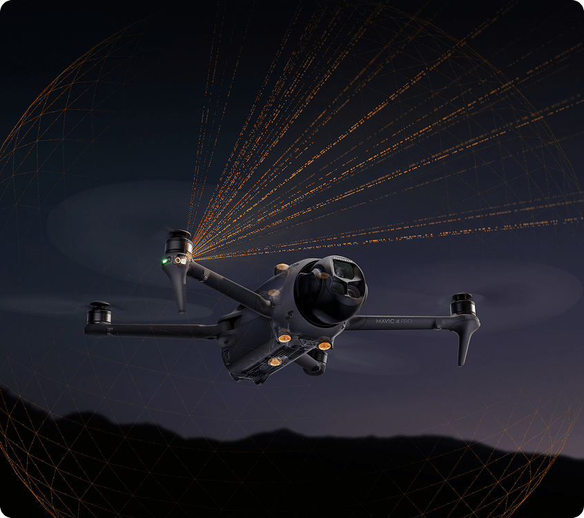
Confidence In
Low Light And Tight Spaces
Every current Mavic runs omnidirectional obstacle sensing. The Mavic 4 Pro pushes it furthest with six ultra-sensitive fisheye sensors that work down to 0.1 lux, dual processors, and detection at speeds up to 18 m/s. In poor GPS environments it holds position from vision alone, and in near total darkness forward LiDAR triggers braking before contact.
ActiveTrack 360° on the Mavic 4 Pro keeps tracking a subject through partial occlusion, and detects vehicles at up to 200 metres with directional awareness. For night inspection, dusk shoots and urban work, that difference is the difference between flying and standing down.
Stay Up Longer, Stay Connected
Flight time and transmission range decide how much you get done per site visit. The Mavic 4 Pro delivers up to 51 minutes from its 95Wh battery, tops out at 90 kph and covers a 41 km range, with the O4+ system carrying 10-bit HDR video up to 30 km and holding up in high interference urban environments. The Mavic 3 Pro and Mavic 3 Classic give you 43 and 46 minutes on O3+ with a 15 km range. Across the Mavic 3 Enterprise line you get 45 minutes and around two square kilometres of survey coverage per flight, with 100W hub charging and 88W fast charge to turn batteries around between sorties.
Comparison Tables
| Feature | Mavic 4 Pro | Mavic 3 Pro | Mavic 3 Classic |
|---|---|---|---|
| Main Camera | 100MP 4/3 CMOS Hasselblad | 20MP 4/3 CMOS Hasselblad | 20MP 4/3 CMOS Hasselblad |
| Aperture | F/2.0 To F/11 | F/2.8 To F/11 | F/2.8 To F/11 |
| Tele Cameras | 48MP 70mm + 50MP Tele | 48MP 70mm + 12MP 166mm | None |
| Max Video | 6K/60fps HDR | 5.1K/50fps | 5.1K/50fps |
| Hybrid Zoom | 6× | 28× | 3× (Video Only) |
| Gimbal | Infinity Gimbal, 360° Rotation | 3-Axis | 3-Axis |
| Obstacle Sensing | Omnidirectional + Forward LiDAR | Omnidirectional | Omnidirectional |
| Low Light Sensing | 0.1 Lux | Standard | Standard |
| Transmission | O4+, 30 Km | O3+, 15 Km | O3+, 15 Km |
| Max Flight Time | 51 Minutes | 43 Minutes | 46 Minutes |
| Internal Storage | 64GB, Or 512GB SSD (Creator Combo) | 8GB | 8GB |
| Best For | Broadcast, Commercial Film, High-End Stills | Multi-Focal Creative Work, DSPs | Wide-Angle Photo And Video On A Budget |
| Feature | Mavic 3 Enterprise | Mavic 3 Thermal | Mavic 3 Multispectral |
|---|---|---|---|
| Wide Camera | 20MP 4/3 CMOS, Mechanical Shutter | 48MP 1/2-Inch CMOS | 20MP 4/3 CMOS RGB |
| Tele Camera | 12MP, 56× Max Hybrid Zoom | 12MP, 56× Max Hybrid Zoom | None |
| Thermal | No | 640×512 Radiometric | No |
| Multispectral | No | No | 4× 5MP (G, R, RE, NIR) |
| RTK | Optional Module | Optional Module | Built In |
| Mechanical Shutter | Yes, 0.7s Interval | No | No |
| Max Flight Time | 45 Minutes | 45 Minutes | 43 Minutes |
| Coverage Per Flight | Up To 2 Km² | Up To 2 Km² | Up To 200 Hectares |
| Obstacle Sensing | Omnidirectional | Omnidirectional | Omnidirectional |
| Software | DJI Terra, Pix4D, Trendspek | Thermal Analysis Tool 3, FlightHub 2 | DJI Terra, SmartFarm, Pix4Dfields |
| Best For | Surveying, Mapping, Construction | Inspection, Public Safety, Night Ops | Precision Agriculture, Environmental Monitoring |
Who Is The DJI Mavic Series For?
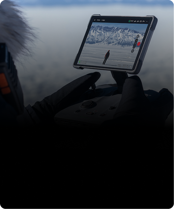
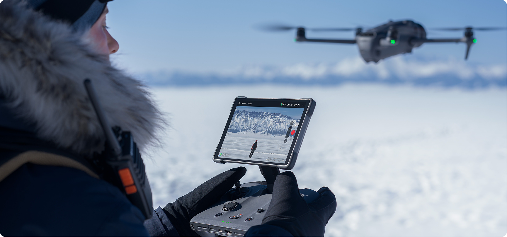
Film, Media And
Content Production
The Mavic 4 Pro and Mavic 3 Pro are the workhorses of UK aerial production. Three focal lengths on one gimbal, Hasselblad colour science, 6K HDR capture and a gimbal that rotates 360 degrees for shots that used to need a specialist rig. Long flight times mean fewer battery swaps and more usable takes inside a shoot window.
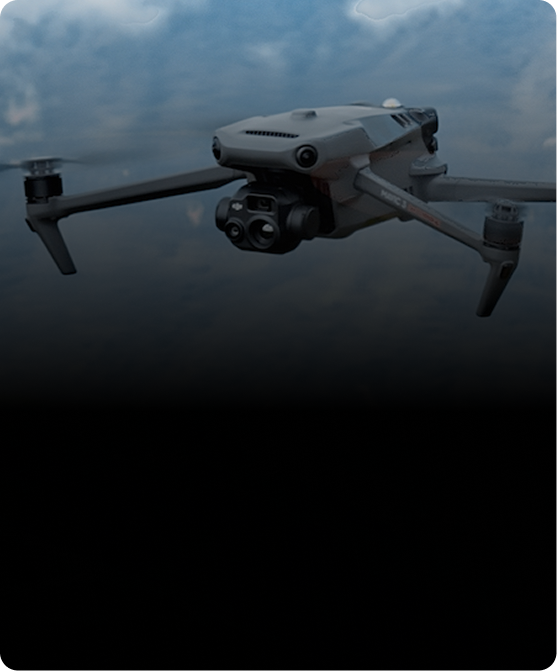
Surveyors, Inspection And
Drone Service Providers
The Mavic 4 Pro and Mavic 3 Pro are the workhorses of UK aerial production. Three focal lengths on one giThe Mavic 3 Enterprise and Mavic 3 Thermal are built for billable output. Mechanical shutter mapping, RTK positioning, 56× zoom for detail at distance and radiometric thermal for anomaly detection. One operator, one case, deliverables that hold up in a report. Add DJI Terra or Trendspek and the pipeline runs end to end.
Agriculture, Land
Management & Research
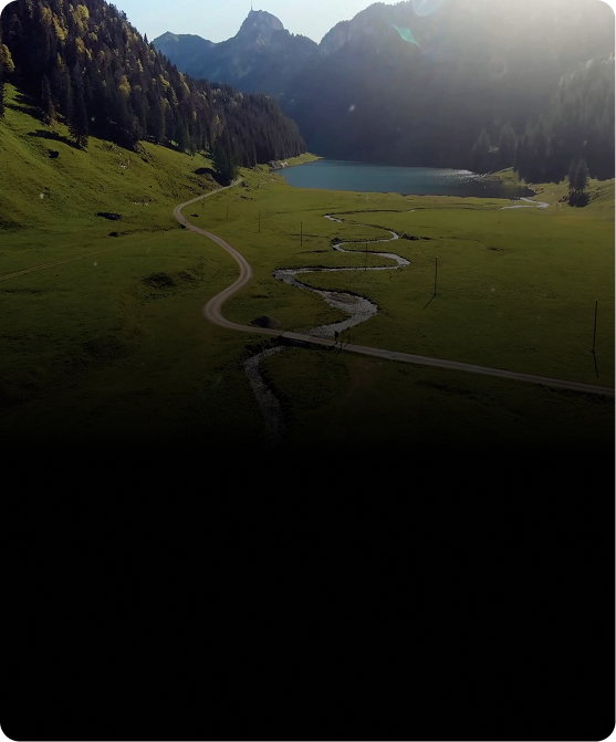
The Mavic 3 Multispectral turns 200 hectares of field into actionable data in a single flight. Five spectral
bands reveal crop stress & nutrient deficiency before symptoms show, and prescription maps feed
straight into spraying drones or variable rate machinery. Widely used for environmental monitoring,
habitat assessment & university research programmes.
Frequently Asked Questions
The Mavic 4 Pro is a generational step up. Its main camera jumps from 20MP to 100MP on a 4/3 CMOS sensor with a wider f/2.0 to f/11 aperture, video goes from 5.1K/50fps to 6K/60fps HDR, and flight time rises from 43 to 51 minutes. It also adds the Infinity Gimbal with full 360 degree rotation, the O4+ transmission system with 30 km range, 0.1 lux obstacle sensing and forward LiDAR. The Mavic 3 Pro remains a strong choice if you want triple-camera flexibility and 28× hybrid zoom at a lower price point.
The DJI Matrice 4 Series includes two models designed for different enterprise applications. The Matrice 4T is built for inspection, public safety, emergency response and utility operations, combining thermal imaging, laser range finding and multi-sensor payloads to support complex missions in any lighting conditions. The Matrice 4E is optimised for surveying, mapping and construction, featuring a mechanical shutter, high-speed image capture and intelligent photogrammetry tools for accurate data collection. If you're unsure which model best suits your workflow, the Coptrz team can help you choose the right aircraft, software and accessories for your operational requirements.
The DJI Matrice 4 Series includes two models designed for different enterprise applications. The Matrice 4T is built for inspection, public safety, emergency response and utility operations, combining thermal imaging, laser range finding and multi-sensor payloads to support complex missions in any lighting conditions. The Matrice 4E is optimised for surveying, mapping and construction, featuring a mechanical shutter, high-speed image capture and intelligent photogrammetry tools for accurate data collection. If you're unsure which model best suits your workflow, the Coptrz team can help you choose the right aircraft, software and accessories for your operational requirements.
The DJI Matrice 4 Series includes two models designed for different enterprise applications. The Matrice 4T is built for inspection, public safety, emergency response and utility operations, combining thermal imaging, laser range finding and multi-sensor payloads to support complex missions in any lighting conditions. The Matrice 4E is optimised for surveying, mapping and construction, featuring a mechanical shutter, high-speed image capture and intelligent photogrammetry tools for accurate data collection. If you're unsure which model best suits your workflow, the Coptrz team can help you choose the right aircraft, software and accessories for your operational requirements.
The DJI Matrice 4 Series includes two models designed for different enterprise applications. The Matrice 4T is built for inspection, public safety, emergency response and utility operations, combining thermal imaging, laser range finding and multi-sensor payloads to support complex missions in any lighting conditions. The Matrice 4E is optimised for surveying, mapping and construction, featuring a mechanical shutter, high-speed image capture and intelligent photogrammetry tools for accurate data collection. If you're unsure which model best suits your workflow, the Coptrz team can help you choose the right aircraft, software and accessories for your operational requirements.
The DJI Matrice 4 Series includes two models designed for different enterprise applications. The Matrice 4T is built for inspection, public safety, emergency response and utility operations, combining thermal imaging, laser range finding and multi-sensor payloads to support complex missions in any lighting conditions. The Matrice 4E is optimised for surveying, mapping and construction, featuring a mechanical shutter, high-speed image capture and intelligent photogrammetry tools for accurate data collection. If you're unsure which model best suits your workflow, the Coptrz team can help you choose the right aircraft, software and accessories for your operational requirements.
The DJI Matrice 4 Series includes two models designed for different enterprise applications. The Matrice 4T is built for inspection, public safety, emergency response and utility operations, combining thermal imaging, laser range finding and multi-sensor payloads to support complex missions in any lighting conditions. The Matrice 4E is optimised for surveying, mapping and construction, featuring a mechanical shutter, high-speed image capture and intelligent photogrammetry tools for accurate data collection. If you're unsure which model best suits your workflow, the Coptrz team can help you choose the right aircraft, software and accessories for your operational requirements.
Trusted Where Failure Is Not An Option

Nick Canham
Duncan Turner
Adam Carter
Emily B.

Partners & Clients










Need Help Choosing The Right DJI Mavic?
Seven models, three camera configurations and two very different use cases. Picking the wrong one is an expensive mistake. Tell us what you are trying to capture, the accuracy or resolution your deliverables need, and the environment you fly in. Our specialists will narrow the range down and be straight with you about which Mavic fits and which does not.















