


FPV Drones
First-person-view flight puts pilots inside the environment they're capturing. Coptrz supplies commercial-grade FPV drones, goggles and controllers for confined-space inspection, tactical operations and immersive content production, backed by the training and support to fly them compliantly.
Unlock Immersive
Access with FPV Drones
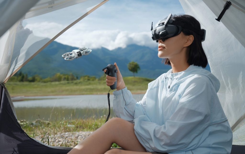
Flying from the drone's perspective gives pilots a first-person view of the environment in real time, making it easier to navigate tight spaces and assess conditions as they happen rather than after the fact.
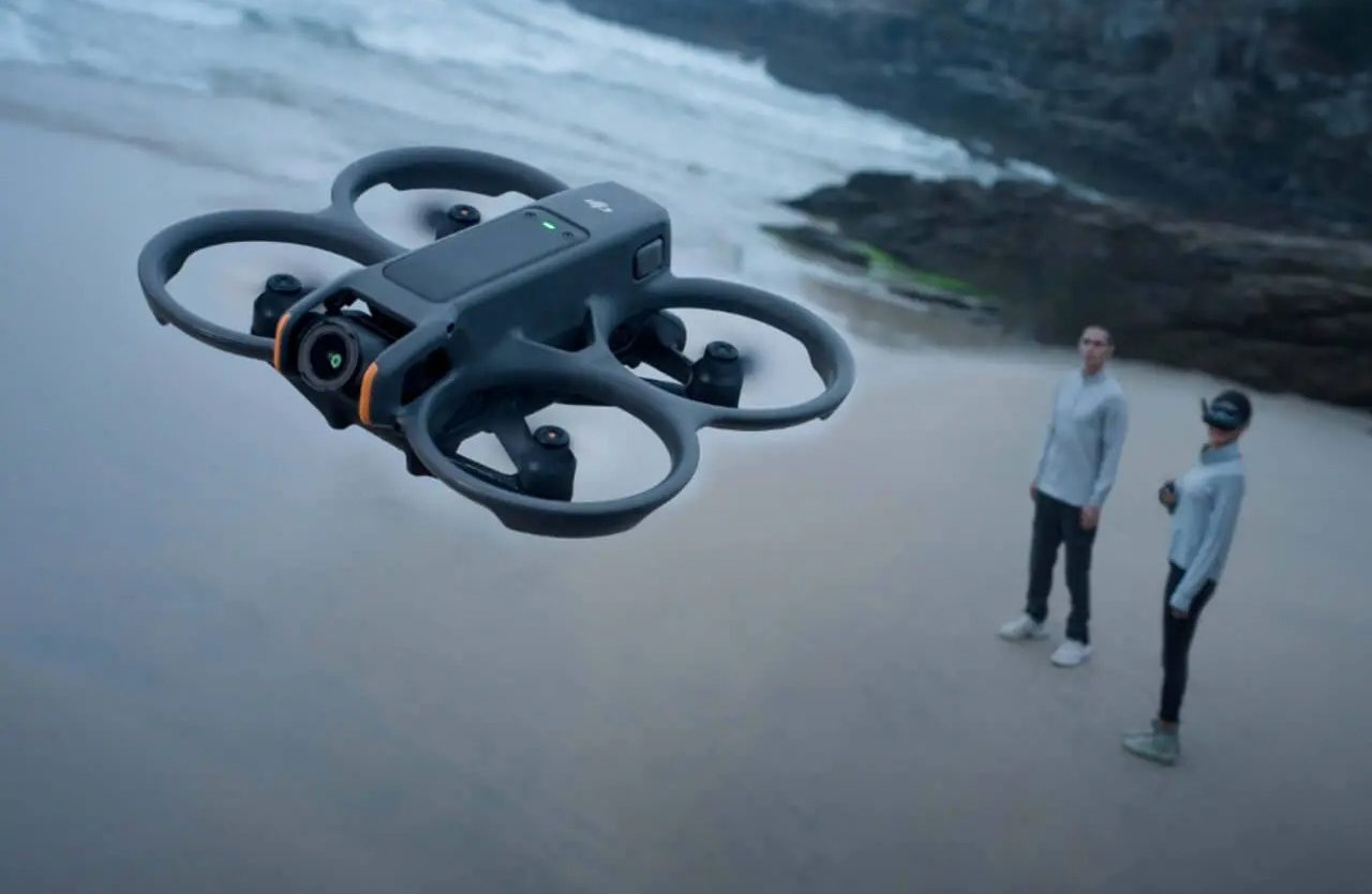
Compact, propeller-guarded airframes are built to fly through gaps, stairwells and voids that standard camera drones can't reach, opening up areas that would otherwise need scaffold or rope access.
Low-latency digital transmission streams footage directly to goggles or a monitor, letting teams on the ground make decisions during the flight instead of waiting for data to be reviewed afterwards.
Lightweight, quick to set up and simple to launch from confined or awkward locations, FPV drones can be in the air within minutes, ideal for time-critical inspection or response work.
Why use FPV drones?
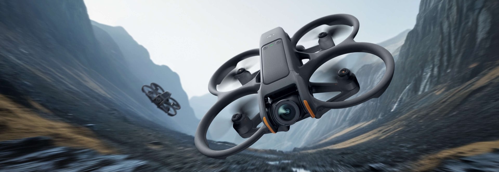
FPV drones close the gap between a pilot and the space they need to see. Where a standard camera drone holds position and streams a stabilised, third-person view, an FPV drone is flown manually from a first-person perspective, letting the pilot thread through gaps, follow a structure's contours and react to what's directly ahead in real time. Compact airframes, generally smaller than standard enterprise drones, are built for manoeuvrability over range or payload, which is exactly the trade-off that suits environments where access is the challenge: confined industrial spaces, indoor structures, and situations where a rapid, close-in look is needed before people go in.
How do FPV drones work?
Every FPV drone combines two systems: the airframe, which handles the physical flight, and the vision and control system, made up of the camera, video transmission unit, goggles and controller, which handles what the pilot sees and how they steer. The video transmission unit sends a live feed from the onboard camera directly to the pilot's goggles, so they see exactly what the drone sees as they fly. Manual flight modes give direct control over pitch, roll and yaw, allowing tight manoeuvring that automated flight paths can't replicate. Propeller guards and lightweight, durable frames are designed to take the occasional knock in tight spaces without grounding the aircraft, and low-latency digital transmission keeps the delay between what the drone sees and what the pilot sees to a minimum.
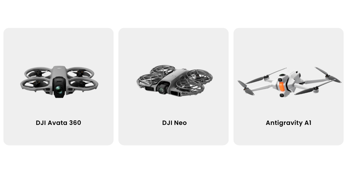
Which FPV drone is right for your operation?
Not every FPV job calls for the same airframe. The DJI Avata 2 is the standard commercial choice: propeller-guarded, stable enough for less experienced pilots to fly confidently, and well suited to confined-space inspection where a knock against a wall shouldn't end the flight. The DJI Neo trades some of that robustness for size, making it the better option when the job is rapid, hand-launched reconnaissance rather than sustained inspection work. For security and government-facing operations, the Parrot ANAFI UKR range is built to meet the procurement and data-security requirements that public sector and defence-adjacent clients often need, at the cost of the confined-space manoeuvrability the DJI platforms offer. The right choice comes down to the environment you're flying in and who you're flying for, not which drone has the newest camera.
What training do you need to fly FPV drones commercially?
Flying FPV for work in the UK still falls under the same regulatory framework as any commercial drone operation, so RPC-L1 Part A is the starting point regardless of which airframe you're flying. What's different is the flying itself. Automated flight modes forgive a lot; manual, first-person flight doesn't, and the gap between passing a qualification and flying confidently through a confined or complex space is bigger with FPV than with any other drone type. That's why Coptrz recommends hands-on flight coaching alongside the base qualification, starting with simulator practice and moving to supervised, real-world flying before a pilot takes an FPV drone onto a live job. It's the difference between being legally allowed to fly and actually being ready to.

FAQs
FPV stands for first-person view. Traditional drone piloting is done by line of sight, watching the aircraft from the ground. FPV replaces that with a live video feed from the drone's own camera, streamed to goggles or a screen, so the pilot flies as though they're on board.
A standard camera drone is designed to hover, hold position automatically and capture stable, third-person footage. An FPV drone is flown manually from a first-person perspective, prioritising manoeuvrability and close-in access over automated stability.
Commercially, FPV drones are most often used for confined-space and asset inspection, public safety and security reconnaissance, and close-proximity film and media work.
Yes. Flying an FPV drone for work in the UK requires the appropriate CAA qualification, typically RPC-L1 Part A, alongside operational authorisation for the specific environment being flown in.
–
Coptrz supplies commercial-grade FPV platforms including the DJI Avata 2 and DJI Neo, along with the goggles, controllers and accessories needed to fly them, backed by training and after-sales support.
Alongside your RPC-L1 Part A, hands-on flight coaching is strongly recommended. Manual, first-person flight has a steeper learning curve than automated flight modes.
Got more questions? Contact us.
