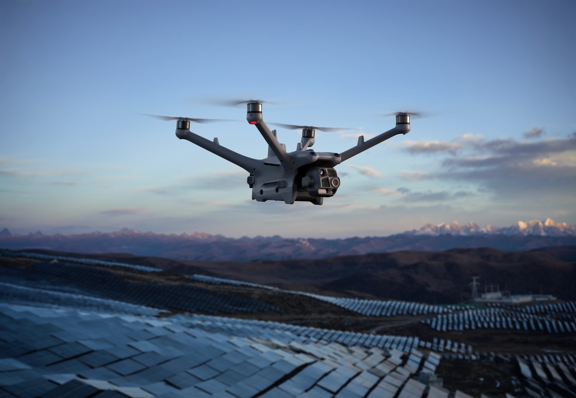
Photogrammetry
Photogrammetry is the process of capturing high-resolution imagery and stitching them together to create an accurate 3D model of a particular area in the real world. Sophisticated software is used to stitch the collated imagery to create a realistic, geo-referenced 3D model.






Benefits Of Photogrammetry Drones

Highly Efficient
Photogrammetry drones can cover a vast area incredibly quickly without worry of obstacles

Visually Impressive
Using high-resolution imagery, photogrammetry drones can capture visual details of every feature of the surroundings

Ease Of Use
Compared to other systems, modern day photogrammetry has brought about significantly simplified workflows
Photogrammetry Drones Use Cases
These are just some of the use cases for photogrammetry drones. If you want to fully understand whether your project can benefit from photogrammetry drones, enquire now.

Public Safety
Particularly useful for disaster response and management, quickly create up to date 3D maps of impacted areas to help assess damage and manage relief efforts.
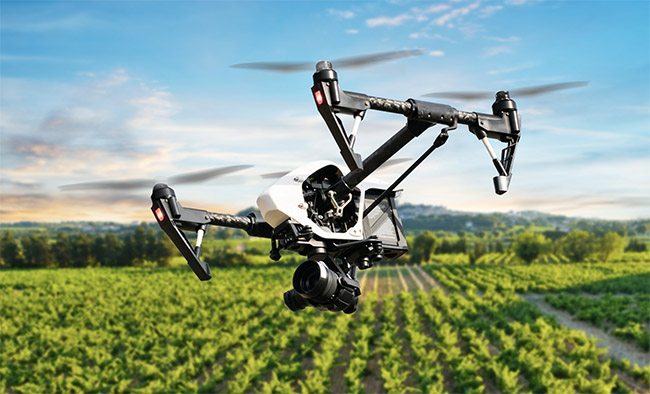
Agriculture & Forestry
Drone photogrammetry is one of the most widely used methods for creating geographic databases in forestry and natural resource management.

Asset Integrity & Inspection
Streamlining your inspection process, aerial photogrammetry can follow pre-planned routes for systematic inspections and create detailed visuals of assets.

Surveying & Construction
Photogrammetry drones can accurately create visual 3D models that allow you to make precise measurements and topographic maps.

Energy & Renewables
Create fast and detailed visual inspections of assets using photogrammetry drones, this reduces risk to workers and reduces the cost of each inspection.

Oil & Gas
Ensure visual inspections are carried out efficiently using aerial photogrammetry, map out vast areas of potential drilling areas quickly and easily to name just a few potential applications.

Government Body
There are a variety of uses for governments including mapping motorways, housing development construction, environmental monitors, building inspections and more.
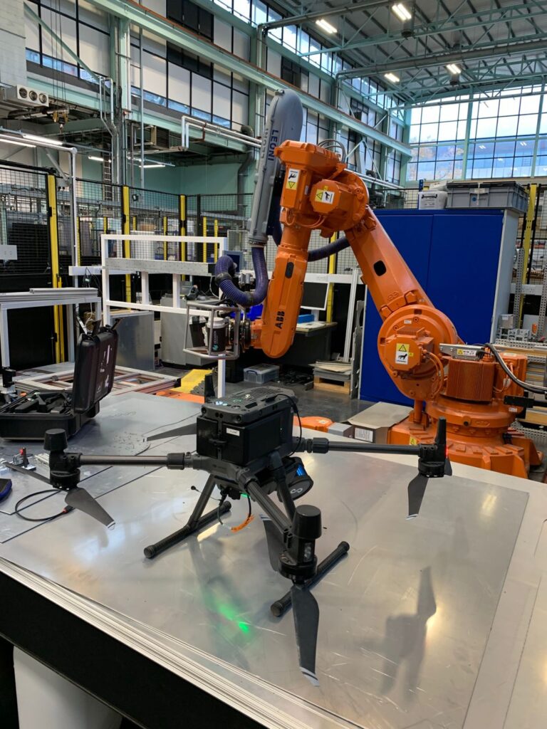
Research & Education
Enhance learning experience and research efficiency with photogrammetry drones, create 3D models of everything from seal colonies to volcanoes and glaciers
FAQs
The relative accuracy of a photogrammetric survey can be roughly estimated to be between one and three times the ground sampling distance (GSD)*. GSD is the distance between two pixels as measured on the ground, from the centre of each pixel. As an example, if your GSD is 10cm, 1 pixel in your photograph will represent 10cm of coverage on the ground. The lower the GSD, the clearer your imagery, therefore the more ‘accurate’ your results will be.
Photogrammetry uses visual images and 3D geometry to create models. Each point in space is identified on two or more photos and then a piece of software finds the geometric intersection and figures out where that point is located in 3D space and maps it.
Photogrammetry software uses geometric intersections and plots points from two or more images in 3D space. This is a technique that was used in the late 1400s by Leonardo da Vinci when he developed the principles of perspective and projective geometry.
Got more questions? Contact us.
Book your FREE online consultation
Impartial Expertise for
Commercial Drone Integration
End-to-end Drone Solutions
Complete drone solutions, including hardware, software, pilot training, repairs and support.
Impartial Advice
Industry experts work closely with you to find the best solution for your organisation.
UK's Widest Drone Selection
We're not limited to one brand, we offer the UK's widest range of world-renowned suppliers.

Accreditations
Recognised for excellence. Explore the industry certifications that validate our commitment to quality, compliance, and continuous improvement.

ISO 9001 Certified
Certified quality management systems for consistent service and customer satisfaction.

ISO 14001 Certified
Internationally recognised standard for environmental management and commitment to sustainable operations.

Cyber Essentials & Cyber Essential Plus
Government-backed certification demonstrating the highest level of commitment to robust cyber security.

The Equality Register Member
Committed to promoting equality, diversity, and inclusive practices across our entire organisation.

TQUK Recognised Centre
An officially recognised centre for Training Qualifications UK, delivering high-standard regulated qualifications

Registered with Elcas
Approved by the Enhanced Learning Credits Administration Service to provide funded training for Armed Forces personnel.

UK CAA Recognised Assessment Entity: RAE15510
CAA-approved to deliver drone training and assessment for RPC-L1, GVC and A2 CofC qualifications.

FCA Registered
Authorised and regulated by the FCA for consumer finance activities.
UK SORA & BVLOS Operations: SORA-28947, SORA-29134
Helping organisations obtain Operational Authorisations for BVLOS and other complex drone operations using the UK SORA framework.

Ofqual Regulated Training
Delivering prestigious, government-regulated training programmes that guarantee educational excellence and industry recognition.