


RTK Drones
RTK drones or Real Time Kinematic drones use a GPS correction technology that provides real-time corrections to location data as the drone surveys and captures images from a site. This geotags the images as they’re taken during flight to ensure accurate surveying and mapping solutions.
Benefits Of RTK Drones

High Accuracy Data
Quickly capture centimetre-accurate measurements of open areas of land with the use of a RTK drone.

Fewer Ground Control Points
Using RTK drones and a base station removes the need for ground control points allowing you to complete projects with significantly less hassle.

Ease Of Use
Compared to other systems, modern day photogrammetry has brought about significantly simplified workflows
RTK Drones Use Cases
These are just some of the use cases for RTK drones. If you want to fully understand whether your project can benefit from RTK drones, enquire now.
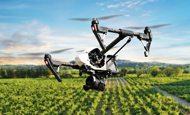
Agriculture & Forestry
Enable the capture of centimetre-accurate measurements of your open land to fully track and understand your farm.

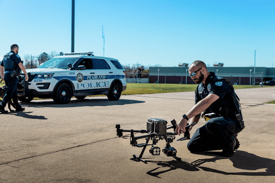
Public Safety
RTK drones enable emergency response teams, search and rescue operations, and disaster management, to capture real-time accurate aerial perspectives.

Asset Integrity & Inspection
Conduct precise drone inspections and mapping of assets or infrastructure with centimetre-level accuracy.

Energy & Renewables
Capture data you can rely on and use RTK drones to create highly accurate data for inspections and mapping of your assets.

Oil & Gas
Detailed accurate data collection is paramount for surveillance, maintenance and inspection of assets in the oil and gas industry, RTK drones can provide exactly that.

Security
Ensure the data you’re looking at is accurate and in real time with RTK drones. Ideal for surveillance and risk assessment.

Surveying & Construction
RTK drones have revolutionised the surveying industry coupling highly accurate data with a level of efficiency previously unheard of.

Government Body
Ensure the inspection of government buildings and infrastructure is producing accurate data. RTK drones bring a new level of surveying and inspection to the skies.
Research & Education
Use the tools that are pushing industry forward to create the next generation of industry experts. RTK drones are used by a variety of industries for a whole host of applications.
FAQs
RTK is the real time corrections to location data to ensure accuracy. PPK or Post Processed Kinematic corrects location data after it’s collected and uploaded using specialised software.
Traditional drone surveying relies on GNSS data to determine the drone’s location which often results in inaccuracies due to external factors like satellite geometry and atmospheric conditions.
Got more questions? Contact us.
Book your FREE online consultation
Impartial Expertise for
Commercial Drone Integration
End-to-end Drone Solutions
Complete drone solutions, including hardware, software, pilot training, repairs and support.
Impartial Advice
Industry experts work closely with you to find the best solution for your organisation.
UK's Widest Drone Selection
We're not limited to one brand, we offer the UK's widest range of world-renowned suppliers.


Latest From Coptrz
Public safety drone teams need competence they can defend under pressure

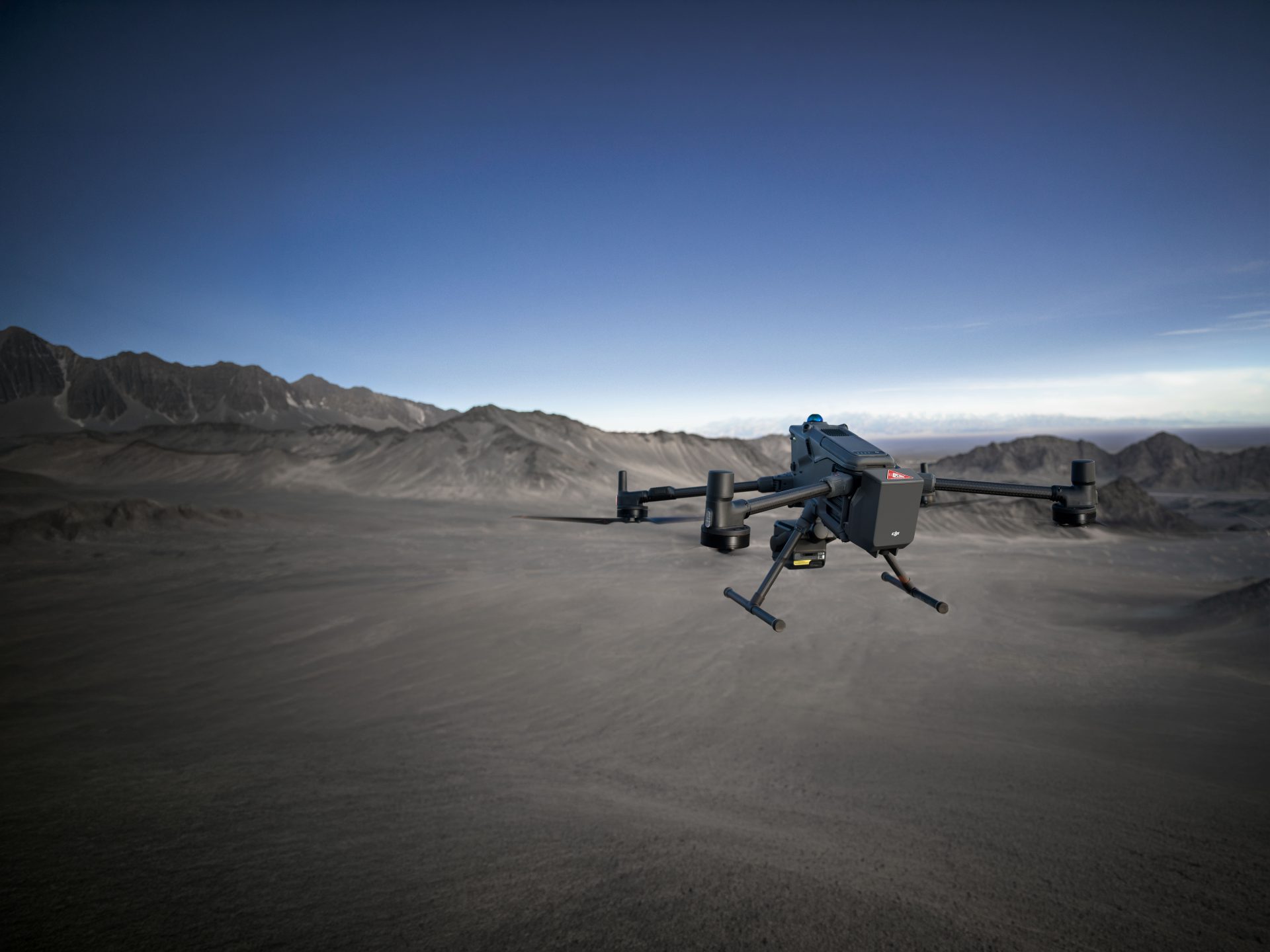
DJI Matrice 400

