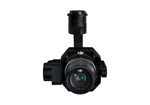
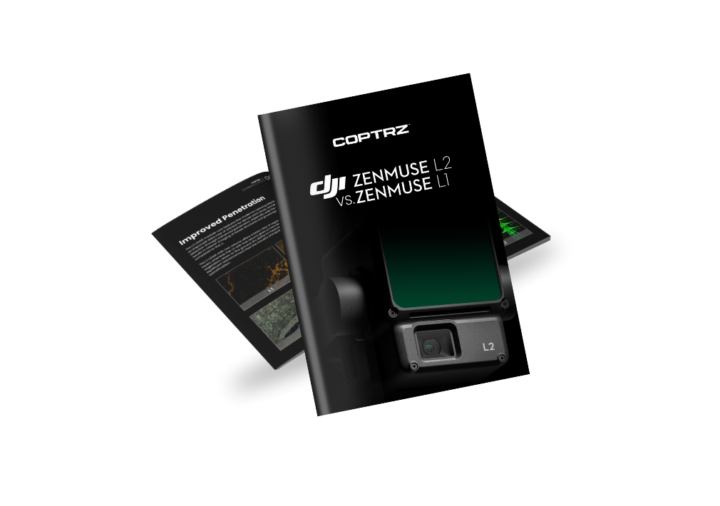
DJI Zenmuse L2
Accurate LiDAR
High-Accuracy IMU
RGB Camera for Photogrammetry
High-Precision Surveying Solution
The DJI Zenmuse L2 is a highly accurate and efficient drone surveying payload. It integrates a LiDAR module, high-accuracy IMU, RGB camera, and a 3-axis stabilised gimbal system, making it a powerful tool for detailed and precise surveying tasks.

Enhanced accuracy
Leveraging the synergy of GNSS and DJI’s precision-engineered IMU, this solution delivers exceptional accuracy, achieving 4cm in vertical and 5cm in horizontal measurements.

Superior Camera
The L2's upgraded 20 MP camera, with 3.3 μm pixels, offers rapid 0.7-second photo intervals and a durable 200,000-use shutter, reducing costs and improving versatility for photos, videos, and light mapping.
Point Cloud Capture Rate
In both single and multiple return modes, the L2 achieves a maximum point cloud emission rate of 240,000 points per second, facilitating the collection of an extensive amount of point cloud data in a shorter period.
Commercial Uses

Surveying & Construction
Asset Integrity & Inspection

Research & Education

Oil & Gas

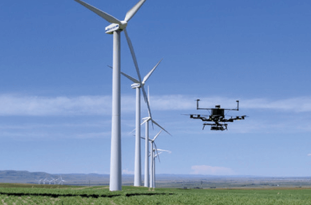
Energy & Renewables
30% Enhanced Detection Range
The L2 is capable of detection from 250 metres at 10% reflectivity and 100 klx, extending up to 450 metres at 50% reflectivity and 0 klx. With the operational altitude now expanded to 120 metres, both safety and efficiency during operations are significantly improved.
Reduced Laser Spot Size, Increased Point Cloud Density
With a refined spot size of 4x12 cm at 100m, just one-fifth the size of L1's, the L2 offers enhanced detection of smaller objects and detailed features, and it's adept at penetrating denser foliage. This advanced capability enables the creation of more precise digital elevation models (DEM).
Up to 5 Returns
In areas thick with vegetation, the L2 has the capability to collect an increased number of ground points underneath the canopy.
Dual Scanning Options
The L2 offers two scanning modes for tailored usability. Repetitive scanning ensures uniform, precise point clouds for high-precision tasks. Non-repetitive scanning provides deeper data penetration, ideal for structural inspections and forestry surveys, ensuring detailed and comprehensive data collection.
Frame-based Design
The frame-based structure ensures an up to 100% effective point cloud data rate. Coupled with a three-axis gimbal, it expands the horizons for various surveying applications, offering enhanced versatility and precision.

Environmental Durability
The L2 features an IP54 rating, making it suitable for wet and foggy environments, ensuring reliable performance in various conditions.
Buy DJI Zenmuse L2
FAQs
4cm in vertical and 5cm in horizontal measurements.
Upgraded 20 MP camera with 3.3 μm pixels, rapid 0.7-second photo intervals, and a durable 200,000-use shutter.
240,000 points per second in both single and multiple return modes.
Surveying and construction, asset integrity and inspection, agriculture and forestry, research and education.
Detection from 250 metres at 10% reflectivity and 100 klx, extending up to 450 metres at 50% reflectivity and 0 klx. Operational altitude expanded to 120 metres.
Refined spot size of 4x12 cm at 100m, enabling the creation of more precise digital elevation models (DEM) and adept at penetrating denser foliage.
Repetitive scanning for uniform, precise point clouds for high-precision tasks and non-repetitive scanning for deeper data penetration, ideal for structural inspections and forestry surveys
IP54 rating, suitable for wet and foggy environments.