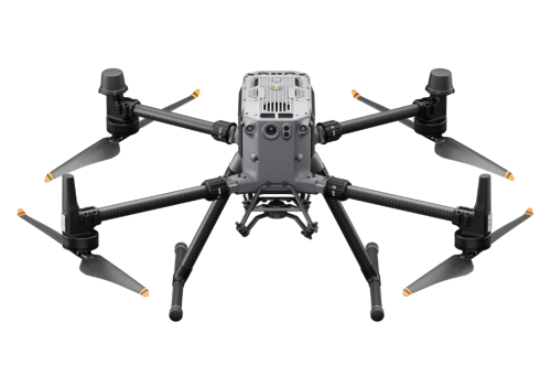
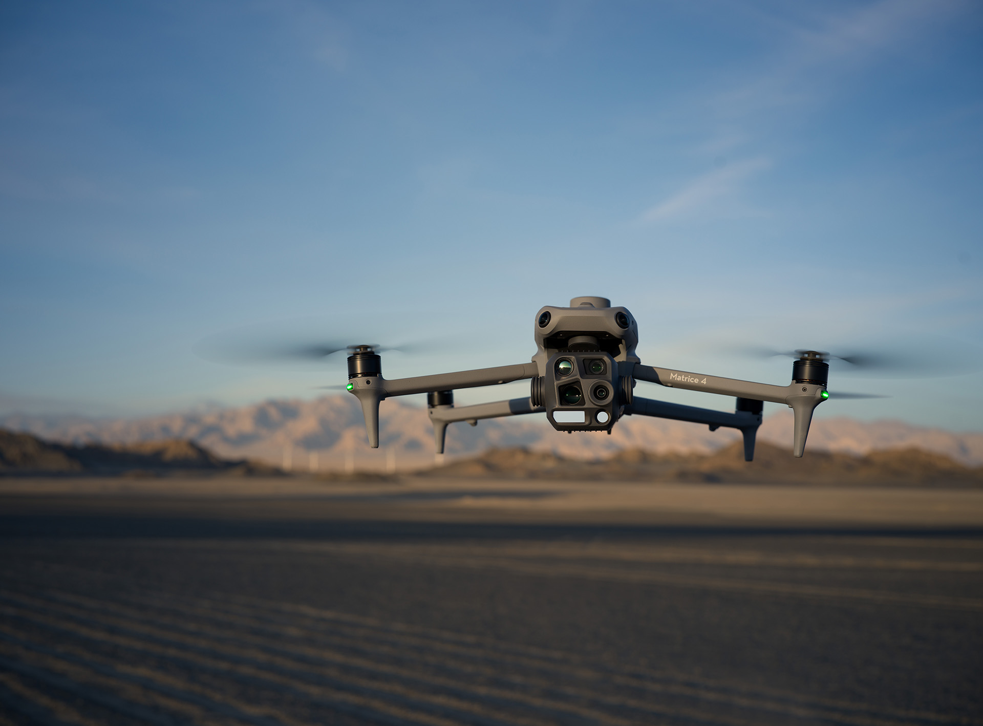
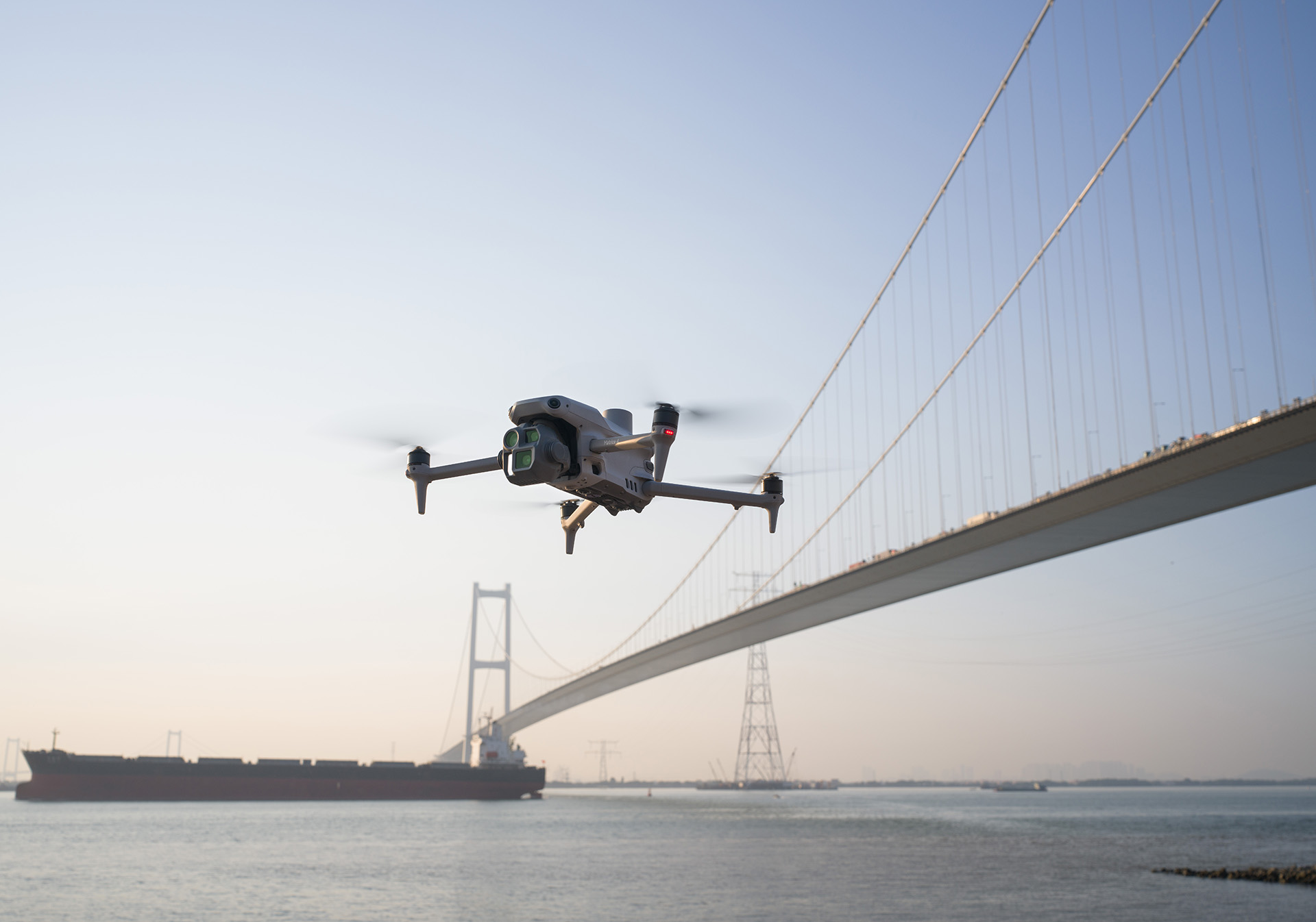
DJI Matrice 4 Thermal
The Matrice 4E is designed for geospatial applications such as surveying and mapping, construction, and mining.
AI Empowered
Built-in AI model can detect human, vehicles, cars during drone operation, AI computing capability is also open for 3rd party industry application platformdevelopment. Laser ranger finder supports precise measurement, including distance range detection and target coordinate measurement, pin point, line drawing, area calculation. Observed view to highlight ground area observe.

Multi-sensors
6 sensors in 1 compact aircraft. including wide camera, mediumtele camera, tele camera, laser ranger finder, Infrared Thermal Camera, NIR Auxiliary Light. 112 maximum zoom can see the car plate from 250m away. UHR Infrared Image providessuperior thermal image quality. Full-color view and black-and-white view improve the liveview quality and clarity in low light environments. Foreground Stabilization and electronicdehazing make inspection image more stale and clear.
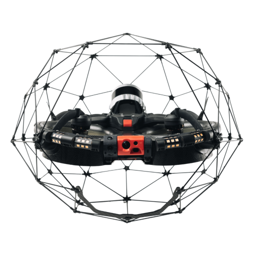
Safer Flight
Anti - GNSS - Interference and vision positioning enable M4T to operatesafely in low - GNSS and low light environment. 25km FCC transmission range.

Bigger and Smarter RC
7.02-inch and 1400 nits RC Plus 2 make it easier for pilot tooperate and control aircraft. RC Plus 2 support Pilot 2 APP and FlightHub2 cloudsynchronization.
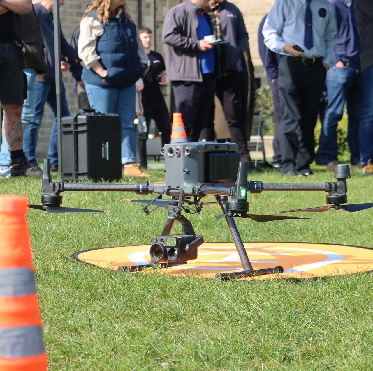
Recommended Application
Scenarios with M4T
| Industry | Scenario | Advantages |
|---|---|---|
| Powerline Inspection | Transmission tower; Distribution line and pole; |
|
| PublicSafety | Law enforcement; Search and rescue |
|
| Renewable Energy | Solar panel inspection |
|
| Oil and Gas | Pipeline inspection |
|
| Forestry | Forestry protection |
|
| Bridge Inspection | Bridge Inspection |
|
| Building Inspection | House Inspectio |
|