DJI Terra
Experience the Power of DJI Terra
DJI Terra is a leading mapping and modelling software designed for professionals who require precise and efficient data collection and analysis. It transforms the way industries approach surveying, construction, and inspection by providing comprehensive tools that simplify complex processes.
Key Features
3D Mapping
Create accurate 3D models and maps from aerial data.
Real-Time Data Processing
Instantly process data to generate maps and models on the go.
Mission Planning
Easily plan and execute flight paths for efficient data collection.
Commercial Uses

Surveying & Construction

Asset Integrity & Inspection

Agriculture & Forestry

Oil & Gas

Government Body

Energy & Renewables

Public Safety
Easy Application Integration
DJI Terra supports output in common formats, these results can be easily integrated into various GIS, CAD, and other third-party data application software.
Seamless Integration
With one click, DJI Terra can launch DJI Modify. DJI Terra can also easily generate files for model editing with another click. These simple steps make the subsequent model editing process quick and convenient. DJI Modify is DJI's first intelligent 3D model editing software.
User-Friendly Interface
The software features a user-friendly interface that makes it accessible to professionals at all levels. Whether you are part of a government body conducting environmental assessments or in the energy sector managing renewable resources, DJI Terra’s intuitive design ensures that you can maximise its capabilities with minimal training.
Buy DJI Terra
Related Training


Related products
-

DJI Zenmuse L2
Flyability Asset Management Software

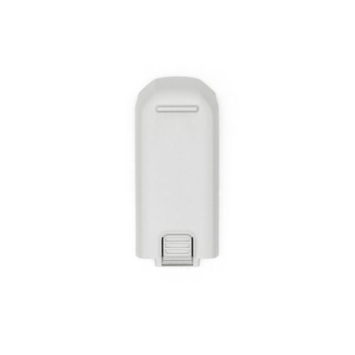
DJI Neo Intelligent Flight Battery
£35.00 Incl. VATDJI Neo Propeller Guard
£9.00 Incl. VATRelated Guides

Drones for Surveying Guide – Download

Drones for Inspection – Guide Download

Multispectral Imagery Explained
Related Case Studies

LWW Engineering Precision Limited
Reducing a 17-hectare stockpile site survey from days to minutes with DJI Terra

JC White Geomatics
How JC White Geomatics Are Using DJI Terra for High-Precision 3D Mapping and Surveying

Oceanites
Oceanites, a US-based NGO dedicated to penguin conservation in Antarctica for the past 30 years, has revolutionised its data collection and presentation methods using DJI Terra software.


Latest From Coptrz
 15th July
Survey accuracy starts before the dataset, with pilot competence
 10th July
Inspection work fails commercially when pilot competence is treated lightly
 NEW
NEWDJI Matrice 400
Become a Drone Pilot
Unlock your business potential with drone technology