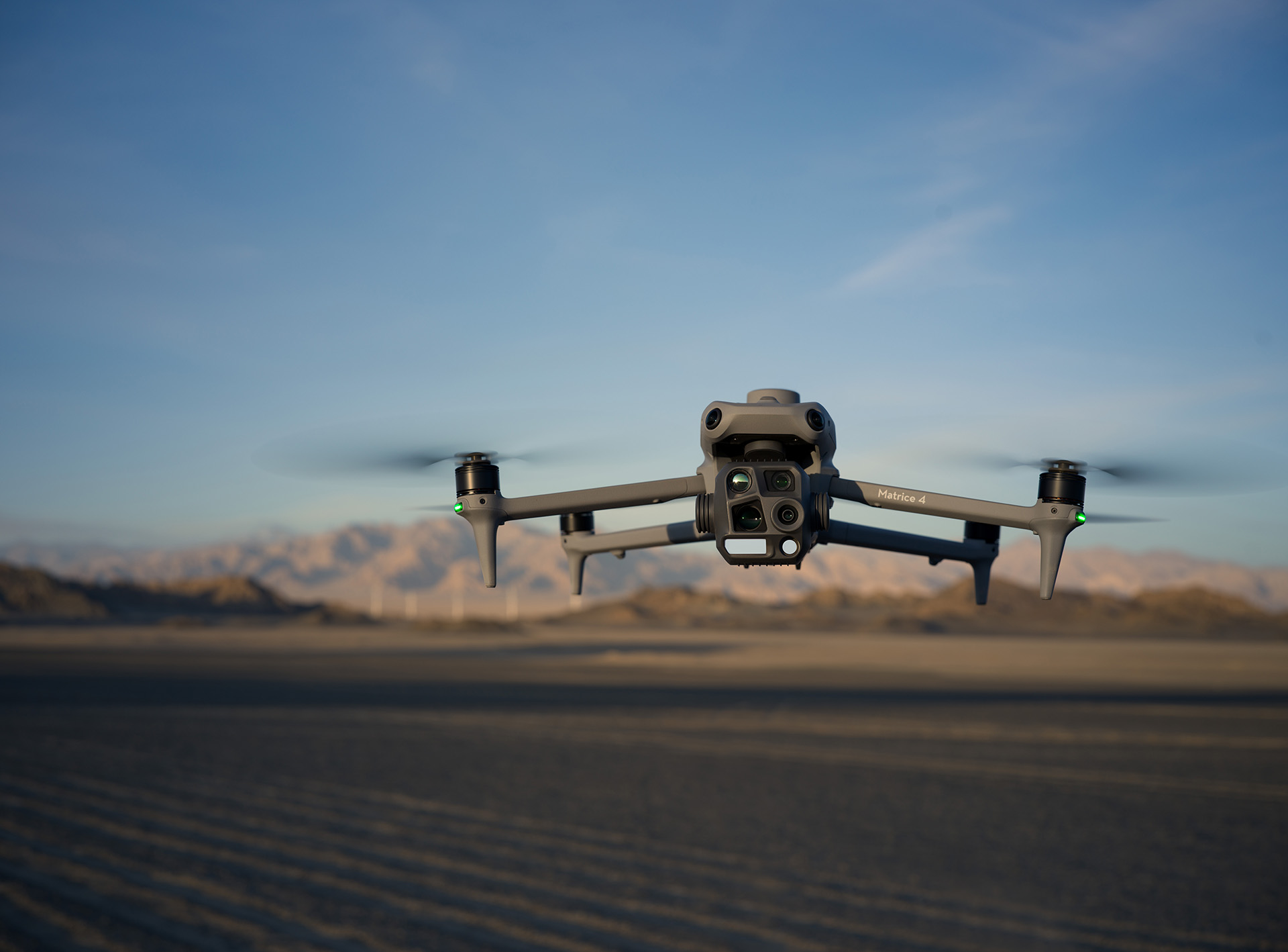
DJI Matrice 4 Enterprise
The Matrice 4E is designed for geospatial applications such as surveying and mapping, construction, and mining.
M4E Product Advantages for
Surveying and Mapping
Longer flight time
The M4E comes with RTK module and has 49 minutes max flight time, compared to M3E with RTK module the effective working time increased by 6 minutes.
Multi-directional capture
3-directional ortho capture and 5-directional oblique capture, significantly enhance mapping efficiency compared with conventional operating modes. M4E 5-directional oblique will increase 40% efficiency compared with M3E
Stronger flight performance
The M4E supports a maximum flight speed of 21m/s, anda minimum capture interval of 0.5s.
Precision Enhancement
Distortion Correction 2.0 provides high-precision in-camera distortion correction with residual distortion less than 2 pixels,Each Matrice 4E's wide-angle camera is calibratedbefore leaving the factory. when used with DJI Terra, it significantly improves reconstruction accuracy

Simple operation
New Smart 3D Capture function. Remote controller integrates DJI Terra modeling capability, making it possible to generate precise mapping route and capture detailed modeling. More powerful obstacle avoidance allows to complete diversified and complexclose range modeling.
Recommended Application
Scenarios with M4E
| Scenarios | Advantages | Target Users |
|---|---|---|
| Large-scale mapping |
| Large-scale aerial surveys customer: Surveying and mapping companies, planning companies, government departments, etc. |
| Small-scale detailed building modeling |
| Detailed building modeling customer: Architectural heritage conservation organizations, architectural design companies, fire departments, key targets of digital archiving, etc. |
| High resolution asset surface inspection |
| Asset surface inspection customer: Building maintenance companies, bridge maintenance companies, power inspection companies, etc. |