
Latest from Coptrz
Stay updated with the latest insights, tips, and industry news on our blog. Discover expert advice, success stories, and innovative uses of drone technology. Our blog features a diverse range of topics to keep you informed and inspired.
All Posts

Introduction to Drones for Public Safety
Have you been looking to incorporate drones into your public safety business, but don’t know how? It can be incredibly daunting to adopt new technology into your workflow, but fear not. Drone technology is becoming one of the most widely used tools for emergency services. Coptrz have helped over 75% of UK emergency services […]
What is a drone licence and do I need one?
Confused about the latest drone regulations? Are you confused about the new drone regulations that came into place in December 2020? Unsure of the differences between the A2 CofC, GVC or the new RPC-L1 drone licence? Don’t worry… Coptrz has got you covered. We have put together an eBook covering all of the information you need […]

What To Look For In Your Photogrammetry Drone
Aerial photogrammetry has so many applications, especially when it comes to survey practices. However, it has traditionally been limited to expensive manned aerial photogrammetry, however drones have changed that! The affordability of aerial photogrammetry unmanned aerial vehicles (UAVs) have opened up the possibilities for many companies to use this technology to great advantage… but what makes a […]
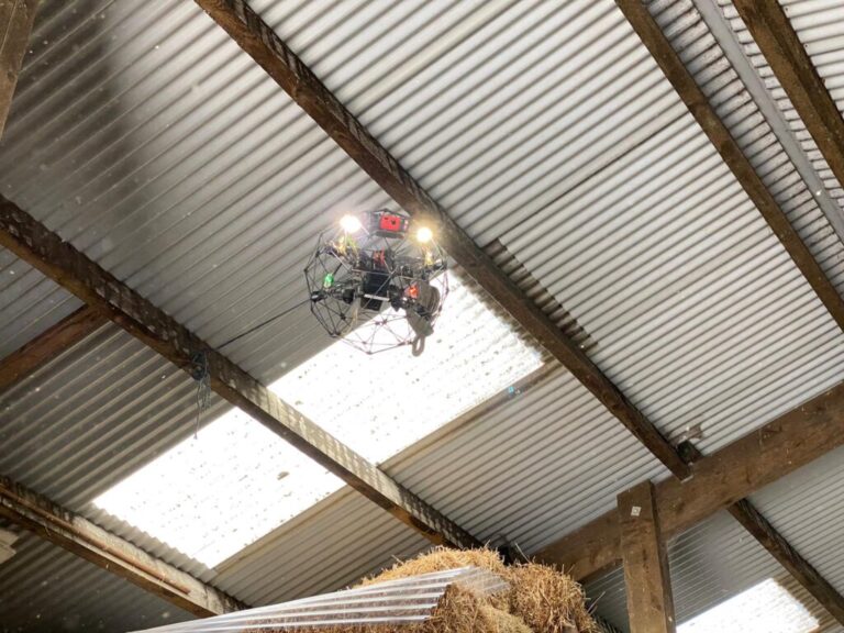
Warehouse Drone Inspections with The Flyability Elios 2
Thinking Outside the Box: Improving Safety Using Warehouse Drone Inspections Forget drone deliveries, there are other ways UAVs are shaking up the supply chain and logistics industry. Drone warehouse inspections are set to sky-rocket in the 20’s with a new wave of indoor drones capable of revolutionising the safety and accuracy of supply chain management. […]
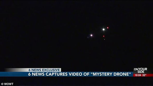
It’s a bird! It’s a plane! It’s a UFO?
When you think about it, UFO sightings used to be all the rage before the invention of drones and mobile phones. Now, with everyone carrying a camera in their pocket those stories have all but disappeared. And it’s with that thought in mind that we look at not only this great mystery, but others that […]

Drones for Surveying: Arcadis
Arcadis – Civil Engineering At Coptrz, we know that challenging terrain comes with the territory of surveying, and more often than not access and measuring points are difficult to reach and require time heavy and meticulous planning and operations. Let’s take a look at a case study using drones for surveying… The recent introduction of […]

Thermal Imaging Technology – Industry Insights from FLIR
Wondering where to start with Thermal Imaging Technology? We’re here to help Teledyne FLIR designs, develops, manufactures, markets, and distributes technologies that enhance perception and awareness. They bring innovative sensing solutions into daily life through our thermal imaging, visible-light imaging, video analytics, measurement and diagnostic, and advanced threat detection systems. With all of the different […]
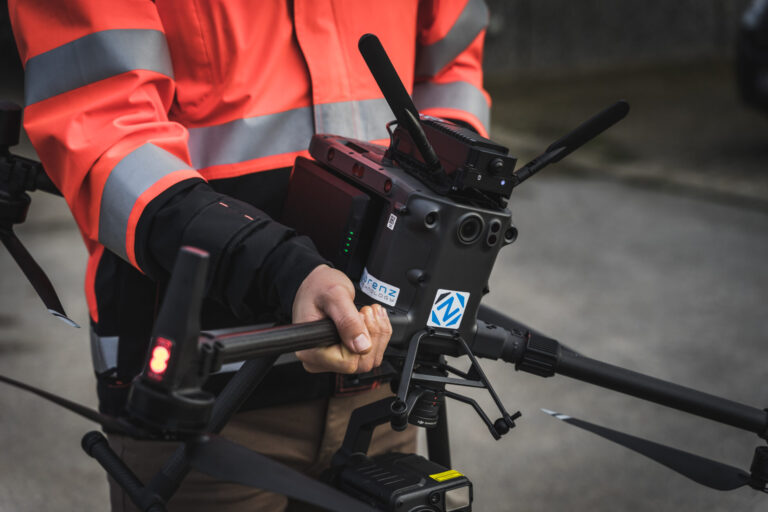
Coptrz Partner with Lorenz Technology
We recently announced our new partnership with Lorenz Technology to provide automated drone solutions in the UK for security and first responders. As the UK’s leading commercial drone experts, this is an exciting partnership as Coptrz will become the official seller of Lorenz Technology in the UK. What Products do Lorenz Technology Offer? Based in […]
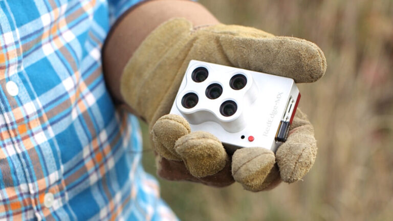
Micasense RedEdge vs Parrot Sequoia
Multispectral imaging camera sensors on agricultural drones allow the farmer to manage crops, soil, fertilizing and irrigation more effectively. Both the MicaSense RedEdge and Parrot Sequioa are incredible pieces of kit – but what are the differences between them? In this blog we simplify both, allowing you to make the right decision. We have recently […]
How are Drones Used In Surveying?
5-10 minute read The use of drones in the survey and construction sectors has come a long way and the capabilities of those very drones has seriously improved, with many organisations now adopting professional drone surveying services to streamline data capture and analysis. Your choice of sensors, surveying software and drone can have a huge […]

5 Times UK Police Used Drones For Good
Image: Iain Brown|Daily Record Drones are now playing an instrumental role in a large proportion of police operations. From being used to find missing persons, to locating a suspect, to providing a watchdog above for boots on the ground officers, drones are now a vital piece of kit for police in the UK. In a […]
DJI’S first LiDAR Solution – Zenmuse L1
5 – 10 minute read What is the Zenmuse L1? In aerial surveying, LiDAR technology is increasingly playing a larger role in building accurate models. In October of 2020, DJI announced the Zenmuse L1, their first foray into a fully integrated LiDAR Drone solution for aerial surveying. DJI noticed the opportunity of a LiDAR based […]
Accreditations
Recognised for excellence. Explore the industry certifications that validate our commitment to quality, compliance, and continuous improvement.
ISO 9001 Certified
Certified quality management systems for consistent service and customer satisfaction.
ISO 14001 Certified
Internationally recognised standard for environmental management and commitment to sustainable operations.

Cyber Essentials & Cyber Essential Plus
Government-backed certification demonstrating the highest level of commitment to robust cyber security.

The Equality Register Member
Committed to promoting equality, diversity, and inclusive practices across our entire organisation.

VQA Recognised Centre
An officially recognised centre for VQA (formerly Training Qualifications UK), delivering high-standard regulated qualifications

Registered with Elcas
Approved by the Enhanced Learning Credits Administration Service to provide funded training for Armed Forces personnel.
UK CAA Recognised Assessment Entity: RAE15510
CAA-approved to deliver drone training and assessment for RPC-L1, GVC and A2 CofC qualifications.

FCA Registered
Authorised and regulated by the FCA for consumer finance activities.
UK SORA & BVLOS Operations: SORA-28947, SORA-29134
Helping organisations obtain Operational Authorisations for BVLOS and other complex drone operations using the UK SORA framework.

Ofqual Regulated Training
Delivering prestigious, government-regulated training programmes that guarantee educational excellence and industry recognition.
★★★★★
Over 1,500 five-star reviews. Rated 4.9/5 across Google, Trustpilot and REVIEWS.io


