5-10 minute read
The use of drones in the survey and construction sectors has come a long way and the capabilities of those very drones has seriously improved, with many organisations now adopting professional drone surveying services to streamline data capture and analysis.
Your choice of sensors, surveying software and drone can have a huge impact on the data you’re able to capture for your projects. It can be confusing getting your head around which is the best drone solution for your project needs. In this blog we’ll explore some of the common questions asked about drones in the survey sector.
What is a Drone Survey?
Surveying is a process by which measurements of an area are taken before a construction project begins. Drone or Aerial Surveys follow a similar process but as the name suggests use an unmanned drone/ UAV with a downward facing camera to collect the data.
Drone cameras take a series of high-definition photos at different angles, creating thousands of accurate data points, including geo-references, elevation points, and colors. This allows developers to create 3D models of a site or building. Clients can see more than what a traditional survey provides.
The maps created from drone data can be used to extract highly accurate distances and volumetric measurements. When a drone is integrated with surveying land, the data can look more realistic. The videos and photos taken from the drone are a great resource for clients and the public when a new commercial project is in the works.
If you’d like even more information, Click Here for our full Survey sector page.
What are the advantages of Drone surveys?
1. Increase Speed, Lower Costs
The ability to make efficient use of a budget is at the forefront of most folks’ minds. The beauty of drone technology is you most likely already have the budget. Drone mapping can fit seamlessly into your pre-existing budget allocations and can also increase company budget and time to spend on other tasks.
A traditional ground survey team may need a month to map a dangerous 100-acre site, but a mapping drone can complete the same task in less than half an hour. The increased speed and automation that drone mapping provides permit companies to safely take on and complete more jobs for more clients, on more sites, in less time.
2. Safety and Accessibility
Having a drone mapping solution allows for autonomous flights and eliminates several risks associated with land surveying such as heavy equipment and hazardous injuries. With the push of a button, a drone can autonomously survey a site, obtain a complete aerial mapping of the site, land back at its launch location, and upload its model and data to a secure cloud in a matter of minutes. Plus, this entire process does not put anyone at risk of serious injury. A great example of this was the use of drone based photogrammetry to track coastal cliff erosion in Brittany to prevent potential loss of property and life.
3. Accuracy and Precision
Drones use a number of sensors at different angles to create thousands of accurate data points, including geo-references, elevation points and colours. These data points can then be assimilated into a 3D Point Cloud to give the surveyor or client a unique perspective and view of the project.
4. Single Tool
Instead of theodolites, infrared reflectors, and GPS, land surveyors can now use drones that autonomously pilot with the push of a button. These drones are capable of producing equivalent results as the aforementioned tools without all of the heavy-lifting and exhaustion. This would in turn allow the surveyors to be safer, spend less time on each site trip, and save or re-budget money.

How does Drone mapping work?
Before we dive into what drone mapping is used for, let’s first make sure we have a foundational understanding of the practice itself, which is called photogrammetry. According to photogrammetry.com, “photogrammetry is the science of making measurements from photographs”. The input to photogrammetry is [aerial] photographs, and the resulting output is typically a map, a rendering, a measurement, or a 3D model of some real-world object or scene, and is often used in fields such as topographic mapping, architecture, engineering, manufacturing, quality control, and police investigation, just to name a few.
To create a digital representation of reality, data collection of the subject must first occur. Typically this is accomplished with a drone or sUAV, flying a predetermined grid-like flight plan over the subject property capturing hundreds of nadir (straight down) or oblique (30–45-degree angle) photographs.
Will drones Replace Surveyors?
Before you begin to worry, in short the answer is no. In an objective sense, drones are the ultimate tool in a surveyors tool box, they provide enhanced productivity for surveyors and better insight for clients.Yet without the surveyor they are just the tool, they require someone with the knowledge and experience to wield them effectively.

How Accurate Is a Drone Survey?
We’ve recently worked with Chris York from Buckingham Group to create a report which demonstrates the accuracy of different drones and sensors. In the report we tested the accuracy of three popular drones, each representing a different price point in the market. I think you’ll be pleasantly surprised at how cable these drones really are. Click Here or the image to download our free accuracy report.
What Drone mapping software do I need?
It can seem daunting when you’re having choose which software to use with your brand new drone. But fear not, we’ve got a great article for you on the Top 5 Drone Mapping Software For 2021.This guide will help you decided which mapping software you’ll need to get the most out of your missions.
We also recently held a fantastic webinar exploring the full data processing workflow with our partners at Pix4D. If you’d like to watch this insightful webinar Click Here or the image below.

What are the best drones for surveying?
Every mission has different requirements and desired outcomes, and fully understanding this will prove invaluable in supporting your decision in which drone is the best for your needs.
In saying that, there are a number of drones which stand out from the pack, their industry leading capabilities and technology make them more suitable and popular in the survey sector. We recently published our list for the Top Drones in Surveying 2021 to help you know what to look for in a great drone surveying services solution.

I’ve listed some of the most popular drones and payloads used in the survey and construction sectors:
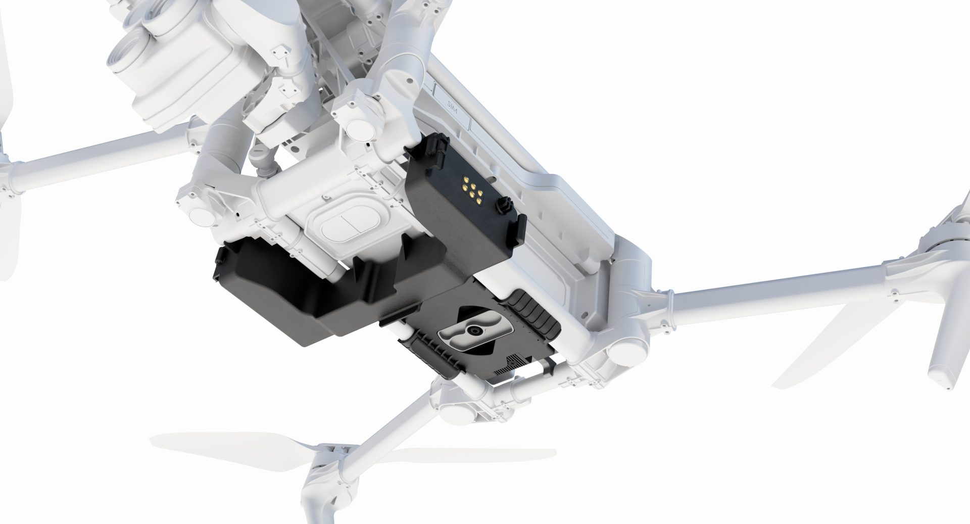
DJI M300 & Phantom 4 RTK
The Phantom 4 RTK is the ultimate starting place for those who are looking to get into unmanned aerial surveys. The drone incorporates a powerful RTK system, 30 minute flight times and beginner friendly softwares. Find out more Here.
If you had to describe the DJI Matrice 300 RTK, it would be the Swiss army knife of the drone world. This incredible package boasts industry leading flight times at 55 minutes, an incredible transmission range of 15km and the ability to integrate many DJI and 3rd party payloads to suite any mission. Find out more Here.
Phase One Payloads
For those seeking the extraordinary, the team at Phase One produce some of the highest quality data available to the UAV market. With 100MP iXM sensors and top of the line P3 integration systems, these are the pinnacle of photogrammetric payloads. Find out more about Phase One payload here.
Lidar
We’re seeing a large growth in demand for LiDAR in the definite area of growth in the Survey Drone market, LiDAR has become increasingly accessible through the likes of the LiDAR USA ScanLook Revolution and DJI Zenmuse L1. While the LiDAR USA model leads the market in terms of accuracy and precision, DJI have recently announced their first LiDAR solution in the Zenmuse L1, which provides incredible ROI and accessibility.
Find out Lidar USA HERE and the Zenmuse L1 HERE.
Wingtra PPK Fixed- Wing VTOL
Interested in becoming 80% faster on your surveying operations? You’ll want to check out the Wingtra PPK Fixed- Wing VTOL, this fully autonomous fixed-wing drone designed specifically for long-distance surveying applications.
Find out more about the Wingtra here.
If you’re interested in upgrading your current aircraft model to a WingtraOne and save thousands in the process then you should check out our Wingtra Trade-in Scheme.
Before You Go!
If you feel ready to explore drones in surveying, Download our Free Survey sector ebook and our industry expert James Pick can begin supporting your bespoke drone solution.
To learn how commercial operators are implementing scalable drone surveying services, explore Coptrz’s dedicated surveying solutions.
Download Our FREE RPC-L1 Guide
Understand everything you need to know about moving towards commercial drone operations with our RPC-L1 guide.
- Understand what RPC-L1 is and who it is for
- Learn how the CAA transition impacts operators and training routes
- Get a clear breakdown of requirements, costs and next steps


Related Posts
Introducing the UK’s Only PfCO Drone Training Course for Surveying and Construction
Professional drone training is an essential part of incorporating drones into any business and courses vary depending on the provider. Here at COPTRZ, we’ve been providing drone training at the highest level since the PfCO (Permission for Commercial Operations) was first made mandatory for commercial drone users. A four-day course, the standard PfCO course covers […]

Emergency Services: Drones On The Frontline
Emergency Services: Drones On The Frontline Everyone has seen the show 999: What’s your emergency? If you haven’t, it is following the lives of emergency services personnel responding to 999 calls. It’s interesting to see how each service works from behind the scenes. But what they don’t show is how the use of Unmanned Aerial […]

How multispectral imaging is used to facilitate data-driven decisions in agriculture and farming
In the modern era of technology, agriculture is no longer just about ploughing fields and sowing seeds. It has evolved into a high-tech industry where advanced tools are being used to optimise productivity and sustainability. One such technology that is making waves in the agricultural sector is multispectral drone imaging. But what exactly is it, […]