Pix4Dreact offers rapid and reliable situational awareness for quick decisions and collaboration in the field.
Pix4Dreact is the newest product released by Pix4D to handle public safety and emergency response. The 2D fast-mapping software solution was developed by Pix4D to provide rapid and reliable information during disasters or crisis, enabling the rescue team to make critical decisions faster. According to Pix4D, the increasing numbers of natural disasters and humanitarian crisis around the world is the main reason why Pix4Dreact was developed.
How will PiX4Dreact improve emergency response?
Pix4Dreact aims to improve response mapping by being fast, easy to use, and lightweight and robust.
Fast

Pix4Dreact is fast because it can create 2D orthomosaic maps from aerial imagery within minutes. Live data and reliable information are critically important when handling crises or disasters. According to Pix4D, the Pix4Dreact uses the latest fast-stitching technology to make it possible to combine multiple nadir drone images quickly.
Easy

Pix4Dreact is easy to use because its user interface is designed to be intuitive and user-friendly, even for people with little or no drone flight or photogrammetry experience. Pix4D believes that in a complex situation, rescue teams should not be hindered by a clunky interface that could prevent them from creating, documenting, and sharing maps for deciding rescue tactics. To ensure that the interface of Pix4Dreact is suitable for emergency responders, Pix4D collaborated with public safety and humanitarian aid professionals during the development of Pix4Dreact.
Lightweight and robust
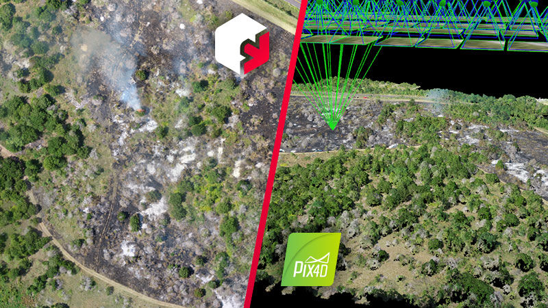
Last but not least, Pix4Dreact is lightweight and robust because the data it captures can be shared quickly too. Every piece of data captured by Pix4Dreact can be shared either in geoTIFF format or pdf which is light enough to send over email or phone. If the rescue teams need even more concise data, they can pinpoint and export a single aerial image of an area of interest instead of sharing all the data captured.
PiX4Dreact and PiX4Dmapper
(Source: Pix4D)
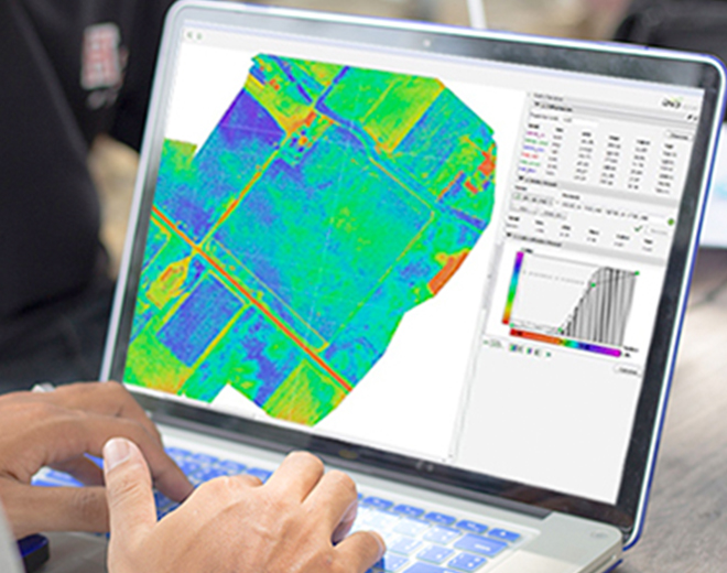
PiX4Dreact can be used to complement Pix4Dmapper, the leading 2D and 3D photogrammetry software for survey-grade reconstruction tasks.
Furthermore, the software can be used for a wide range of crises or disaster situations. Some of them are earthquakes, flooding, fires, missing persons, human displacement, and many more.
Where and how can Pix4Dreact be used to improve emergency response?
Flooding

- Assess the impact and extent of the flooding.
- Identify driveable routes for responders.
- Search for people in need of rescue and evacuation.
- See water saturation of levees using near-infrared.
Fires

- Observe fires.
- Assess chemical spills.
- Detect smouldering areas that could flare up later.
- Rapidly create an RGB + thermal map of the fire to identify critical areas.
- Map fire damage to aid in the recovery effort.
- Provide intelligence for search and rescue.
Accident or Missing Persons
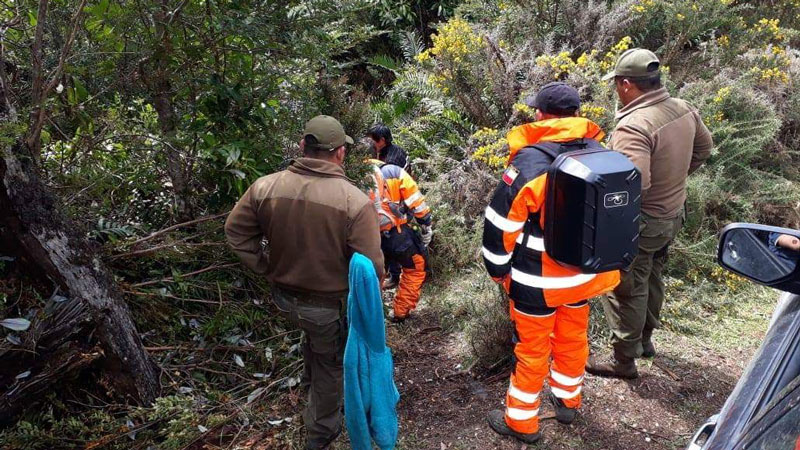
- Higher resolution than satellite base maps.
- Increase situational awareness.
- Quickly create a detailed map while there is daylight
- Spread the search between many off-site “virtual searches”.
- Search without introducing new smells for SAR dogs.
Security Management

- Quickly create a detailed map before sending people in.
- Deliver aerial surveillance for crowd control and monitoring.
- Identify and assess strategic infrastructure.
Human Displacement

- Create high-resolution maps to monitor population movement and help aid distribution.
- Provide updated maps for camp and site planning and coordination.
Who can use Pix4Dreact?

- Police.
- Firefighters.
- Search and Rescue.
- Disaster relief personnel.
- Military personnel.
- Paramedics.
- Contractors.
- Drone pilots.
- Relief aid workers.
- Technical relief experts.
Pix4Dreact features
Input:
- RGB Images.
- Pre-processed maps.
- Markers.
Tool & Functionalities:
- Easy to use interface.
- Fast mapping.
- Marker tool.
- Measure tool.
- Comparison tool.
- PDF report generator.
- Export tool.
- Lightweight and robust.
Outputs:
- Orthomosaic.
- Digital surface model.
- Markers and measurements.
- PDF Report.
Pix4D and Coptrz

PiX4Dreact launched late October 2019 and is available to purchase today as an annual or lifetime subscription.
Download Our FREE RPC-L1 Guide
Understand everything you need to know about moving towards commercial drone operations with our RPC-L1 guide.
- Understand what RPC-L1 is and who it is for
- Learn how the CAA transition impacts operators and training routes
- Get a clear breakdown of requirements, costs and next steps


Related Posts
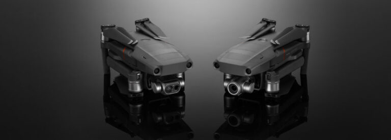
Mavic 2 Enterprise Dual: A One-Stop Thermal Solution?
In a previous blog entry, we’d looked at some of the options available to anyone looking to introduce aerial thermal imaging into their work, such as the XT2 camera, FLIR Duo Pro and MicaSense RedEdge. However, while those are all extensions for an existing drone, with the Mavic 2 Enterprise Dual, DJI has created a […]

Drones for Mountain Rescue in Scotland
Drones are considered as the most significant enhancement in SAR operations since the introduction of search dogs. Drones are not only utilised by Police in a Search and Rescue (SAR) mission, but also by the mountain rescuer. In fact, there is a specialised aerial search and rescue team, who use drones, which was created specifically […]

The Ultimate Drone Photography Package…
Coptrz is proud to announce, our latest collaboration with content creator Daniel Hughes. Our partnership with Daniel Hughes has been long-standing. Now we can finally reveal what we’ve been working on in partnership behind the scenes – the collaboration with our brand ambassador, Daniel, has resulted in the ultimate drone photography package which has been […]















