Pix4Dmapper
Photogrammetry Software For Professional Drone Mapping
Pix4DMapper is the leading photogrammetry software, transforming drone-captured images into precise, georeferenced 2D maps and 3D models. With its powerful features and user-friendly interface, it’s an essential tool for experts demanding accurate and reliable data for their projects.
Exceptional Qualities
High-Resolution Mapping
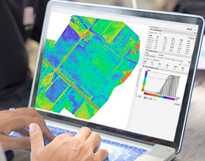
Pix4DMapper delivers high-resolution 2D maps and 3D models, ensuring detailed and accurate outputs for various applications. It achieves ground sampling distances as fine as 1-2 pixels, with 1-3 pixels in the Z direction.

Adjustable Workflows
Take full control of your photogrammetry process with Pix4DMapper. Define areas of interest, adjust processing options, and manipulate point clouds, DSMs, and Meshes effortlessly.

Easy Sharing
Simplify project communication with secure sharing capabilities. Transfer information seamlessly with team members and clients using standard file formats, fostering effective teamwork.
Commercial Uses

Agriculture & Forestry

Public Safety
Key Features

Simple Adjustment
Pix4DMapper offers complete control over your projects. Customise settings to meet the unique requirements of each project, ensuring optimal results every time.

Automated Flight Planning
Automate your flight planning to ensure comprehensive coverage of the mapping area. Create flight paths that optimise image capture, reducing the risk of missing critical data.

Real-Time Project Preview
Preview your projects in real-time as images are processed. Identify gaps in data capture promptly, avoiding costly delays.
Multi-Platform Integration
Seamlessly connect Pix4DMapper with a wide range of platforms and tools. Export directly to CAD and GIS software, integrating photogrammetry data into broader workflows. This capability ensures Pix4DMapper fits into your existing system, enhancing project efficiency.

Scalability For Large Projects
Designed to handle large-scale projects, Pix4DMapper can process thousands of images in a single project. It’s ideal for extensive mapping tasks like city planning and environmental assessments. Scale your operations with confidence.
Buy Pix4Dmapper
FAQs
Yes, Pix4DMapper processes multispectral imagery, making it ideal for agricultural applications and vegetation analysis.
Absolutely. Pix4DMapper is compatible with RTK (Real-Time Kinematic) drones, enhancing georeferencing accuracy.
Pix4DMapper supports a variety of output formats, including .las, .laz, .xyz, .tiff, .jpg, .obj, and more.
Yes, Pix4DMapper integrates seamlessly with other Pix4D products like Pix4Dcloud and Pix4Dsurvey, streamlining your workflow.
Yes, it supports thermal imaging, making it valuable for infrastructure inspection and public safety.
Related Training


Related products
-

Advanced Professional Development Learning Course in Understanding Multispectral UAVs
£247.00 Excl. VAT
DJI Terra
£917.50 Excl. VAT
Flyability Asset Management Software

Pix4Dcloud
Price range: £0.00 through £2,646.02 Excl. VATRelated Guides

PIX4Dmatic vs PIX4Dmapper – Download

Multispectral Imagery Explained
Related Case Studies

Bolton College
Bolton College, part of the University of Bolton, is leading educational innovation, particularly in engineering and technology.


Latest From Coptrz
 10th July
Inspection work fails commercially when pilot competence is treated lightly
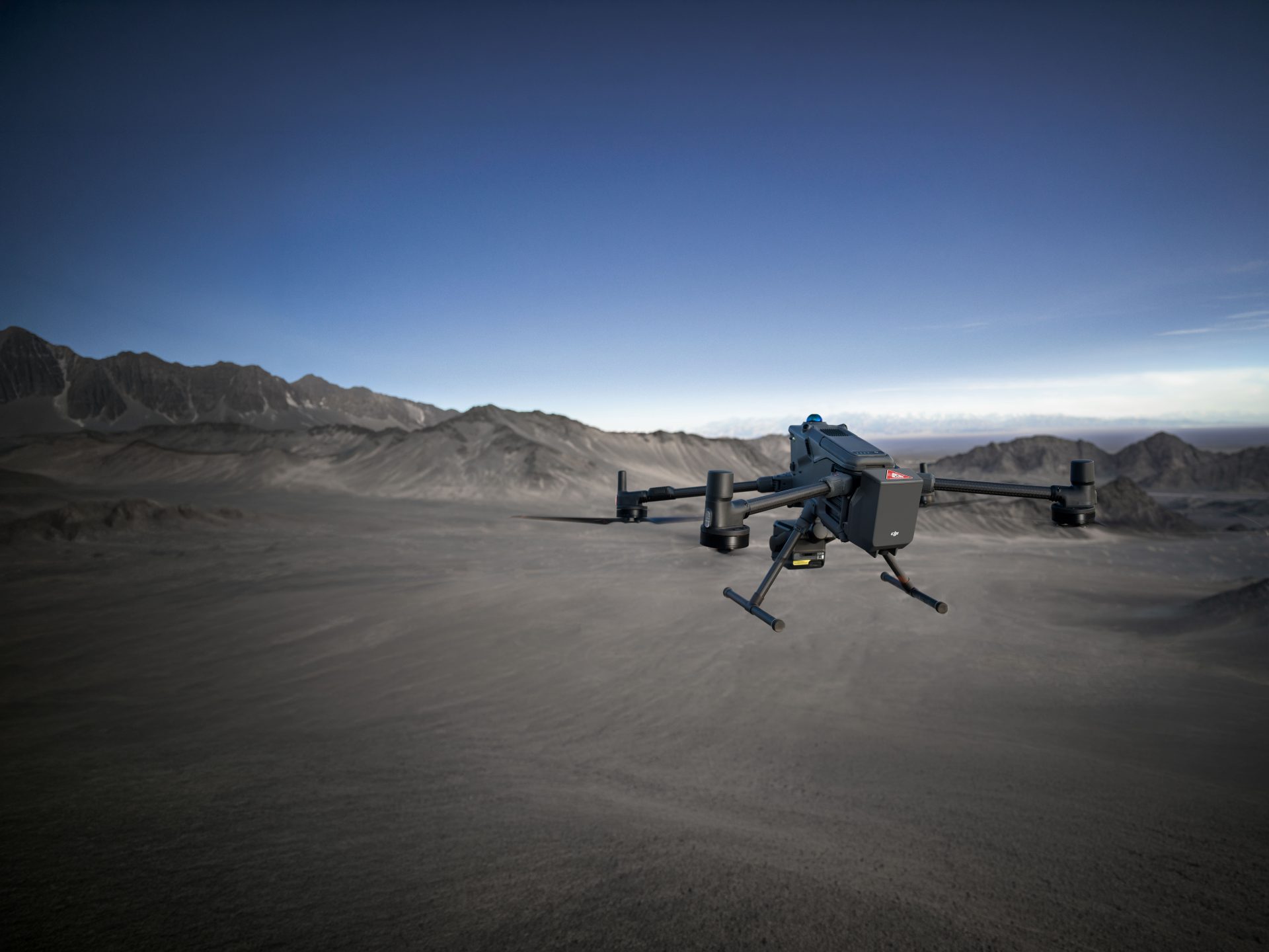
NEWDJI Matrice 400
Become a Drone Pilot
Unlock your business potential with drone technology