Complete Knowledge Of Crime Scene And RTC Mapping With Pix4D
The "Complete Knowledge of Crime Scene and RTC Mapping with Pix4D" course provides a comprehensive introduction to using drones and Pix4D technology for accurate mapping of crime scenes and road traffic collisions. Learners will understand the significance of mapping in forensic investigations and accident reconstruction. They will explore the basics of drone operations, recommended UAV models, and data capture techniques. The course covers the data processing workflow using Pix4DMapper software, including image calibration, point cloud generation, and output creation. Real-world case studies demonstrate practical applications. The course concludes with a summary of key concepts, an exam, and guidance for further professional development in this field.
Why Take The Course?

Show Your Expertise
Master the use of Pix4D technology for crime scene and RTC mapping, positioning yourself as a skilled and knowledgeable operator in forensic investigations.

Competitive Advantage
Enhance your skills to provide advanced UAV operations for accurate mapping, giving you an edge in law enforcement and accident reconstruction.

Build Confidence
Develop the confidence to conduct precise mapping of crime scenes and RTCs, understanding the full scope of data capture and processing techniques.
Course Format
Duration: 2 hours

Buy Complete Knowledge Of Crime Scene And RTC Mapping With Pix4D
Course Content:
Objectives
Module 1 - Introduction to Crime Scene and RTC Mapping with Pix4D
- Crime Scene and Road Traffic Collisions
- Understand the importance of accurate mapping in forensic investigations and accident reconstruction.
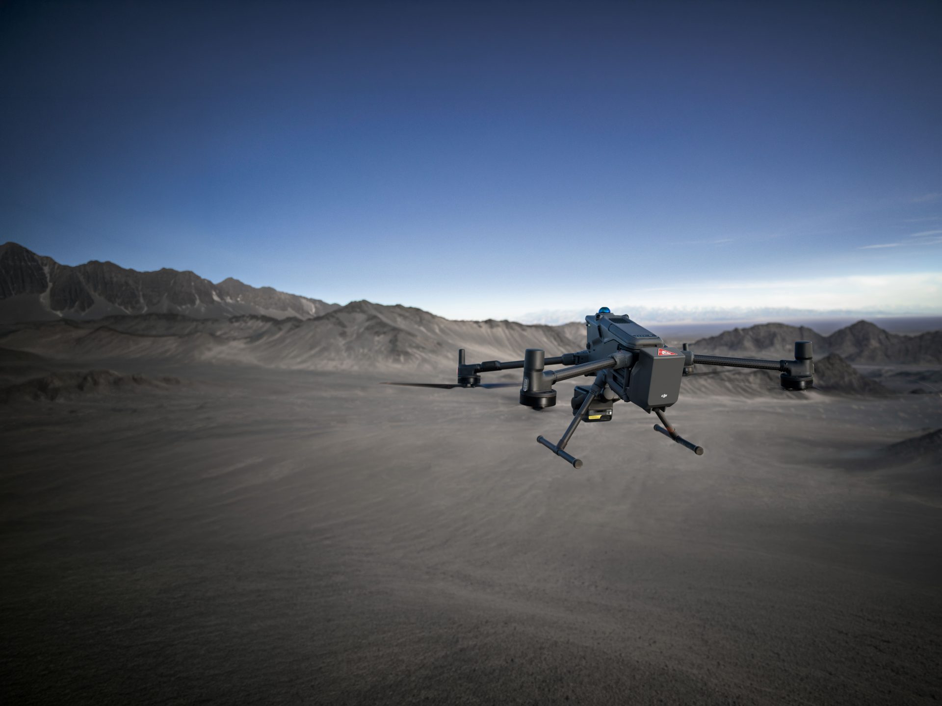
Module 2 - Drones
- Getting Started
- Introduction to the basics of drone operations for mapping purposes.
- COPTRZ Recommended UAVs
- Learn about the recommended UAV models for crime scene and RTC mapping.
Module 3 - Process
- Data Capture
- Techniques for capturing accurate data using drones.
- Data Processing with Pix4DMapper
- Workflow for processing data with Pix4DMapper, including image calibration, point cloud generation, and output creation.
- Data Output
- Understanding the final output and its applications in investigations.
Module 4 - Case Studies
- Case Study: 53 Car Pileup
- Real-world application of drone mapping in a major road traffic collision.
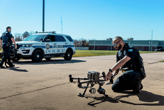
- Case Study: West Midlands Police
- How drone mapping assisted West Midlands Police in forensic investigations.
- Case Study: Michigan State Police
- The use of Pix4D technology by Michigan State Police in accident reconstruction.
Module 5 - Summary
- Summary
- Recap the key concepts and techniques learned throughout the course.
- End of Course Exam
- Test your comprehension through an end-of-course exam, validating your ability to apply the course material effectively.
- Next Steps
- Guidance on further learning and professional development opportunities in crime scene and RTC mapping.
Next Steps:
- After Passing: Successfully completing the course and assessment earns you a qualification, showcasing your expertise in using Pix4D for crime scene and RTC mapping.
- Further Learning: Continue your professional development with additional courses available on the Coptrz Academy eLearning platform.
Learn Anywhere, Anytime
Our course is delivered through an industry-leading online learning platform, allowing you to learn at your own pace. No need to take time out of your busy schedule for live classes; enjoy the flexibility of e-learning with Coptrz Academy.
Beyond Drone Training
Enrol in the Complete Knowledge of Crime Scene and RTC Mapping with Pix4D course and gain free access to the Coptrz Academy eLearning platform. Access over 300+ online courses covering Project Management, Finance, Leadership, Commercial Skills, People and Culture, Customer Excellence, and Data.
Enrol in the Complete Knowledge of Crime Scene and RTC Mapping with Pix4D course to advance your skills and ensure the effective use of UAV technology for forensic investigations and accident reconstruction, enhancing your capabilities in this specialised field.
Related products
-

Complete Knowledge Of Thermography
£97.00 Excl. VATDJI Matrice 30 Series – Pass Plus Exam
£27.00 Excl. VATDJI Mavic 3 Enterprise – Pass Plus Exam
£27.00 Excl. VAT
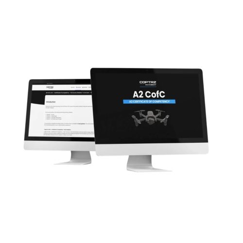
A2 CofC – Certificate of Competency Drone Training Course
£97.00 Excl. VATRelated Case Studies

Dovecote Park
Increasing Security and Health and Safety Measures at Dovecote Park


Latest From Coptrz
 8th July
Public safety drone teams need competence they can defend under pressure
 NEW
NEWDJI Matrice 400
Become a Drone Pilot
Unlock your business potential with drone technology