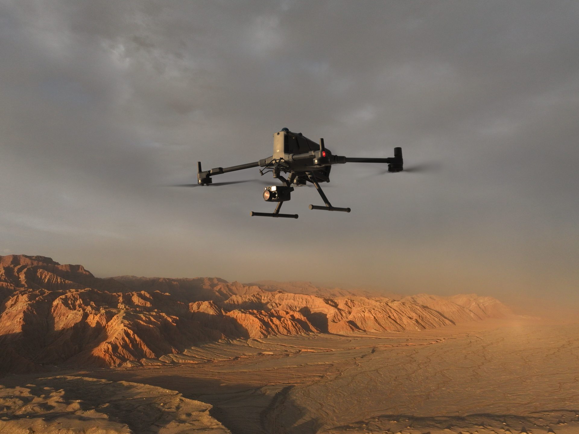
Drone Solutions For Research & Education
Generate grant-worthy research data, develop industry-ready graduates, and build real-world operational capability across your institution — with drone platforms built for academic and scientific applications.
- Research-grade LiDAR, multispectral, and thermal data for publication-quality outputs
- CAA-recognised training integrated into degree programmes — improving graduate employability
- Platforms trusted by leading UK universities, research institutes, and government agencies
Speak to Our Industry Experts
Discover how drone technology can support your organisation, address industry-specific challenges, and help you achieve your operational goals.
★ 4.9 average rating from verified customers
• Comprehensive Drone Training for Operational Success
• Tailored Drone Solutions for Every Industry
• Experienced Technical Support Team










Better Data. Stronger Grants. Industry-Ready Graduates.

Grant-Supporting Research Data
Consistent, georeferenced, publication-quality datasets that meet academic and government funding body standards.
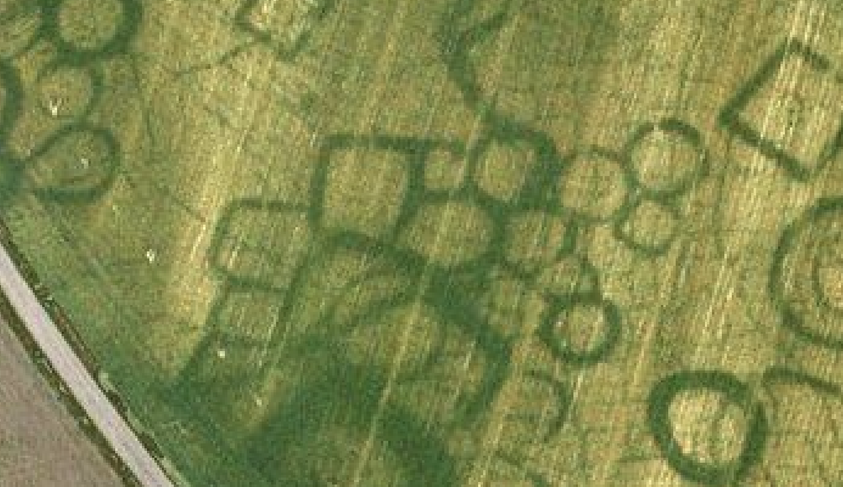
Extended Fieldwork Reach
Cover terrain and access environments that would be prohibitively expensive or dangerous by traditional ground survey methods.

Industry-Ready Graduates
CAA-recognised qualifications integrated into degree programmes produce graduates employers across surveying, ecology, engineering, and geospatial want to hire.

Cross-Disciplinary Application
One platform supports multiple research disciplines — geography, ecology, archaeology, civil engineering, physics, robotics — maximising institutional ROI.

Research Applications By Discipline
Every Research & Education Programme Is Different — But The Underlying Workflows Are Consistent.
Below is a breakdown of how research and education drone is applied across common use cases, including what is captured, why it matters, and what teams get out of it.

What It Is
Deploying multispectral, RGB, and LiDAR drones to collect repeatable environmental datasets across ecology, hydrology, and geomorphology research sites.
How It’s Used
Used by environmental scientists and ecologists to conduct baseline surveys, track change over time, and collect data supporting conservation management and regulatory compliance.
Typical Outputs
•
Orthomosaic habitat maps
•
NDVI vegetation analysis
•
LiDAR terrain and canopy models
•
Multi-temporal change datasets

What It Is
Using LiDAR and photogrammetry drones to produce high-accuracy terrain models for geoscience research, hazard assessment, and earth surface monitoring.
How It’s Used
Deployed at field sites requiring repeat terrain surveys to track erosion, deposition, or structural change over time — generating DEMs and point clouds for academic analysis.
Typical Outputs
•
Digital elevation models (DEM/DSM)
•
Point cloud datasets
•
Volumetric change analysis
•
Georeferenced survey data for publication

What It Is
Capturing aerial photogrammetric data of archaeological sites alongside ground penetrating radar surveys for subsurface feature detection.
How It’s Used
Deployed at excavation sites and heritage landscapes to generate accurate 3D models and orthomosaics supporting academic publication, planning submissions, and heritage management plans.
Typical Outputs
•
Orthomosaic site plans
•
3D models of structures and excavations
•
Ground penetrating radar subsurface data
•
Archive-quality documentation imagery

What It Is
Integrating CAA-recognised drone qualifications into degree programmes across a range of disciplines — ensuring graduates develop practical operational competency alongside academic knowledge.
How It’s Used
Delivered through Coptrz Academy as structured module components. Applicable across geography, ecology, environmental science, civil engineering, robotics, physics, and geospatial programmes — not just traditional surveying and geography cohorts.
What It Is
•
CAA-recognised qualification on completion
•
Industry-recognised skills for graduate employability
•
Practical flight exercise portfolio
•
Applicable across engineering, robotics, physics, environmental science, and geospatial cohorts
•
Improved graduate outcomes and employer engagement
What It Is
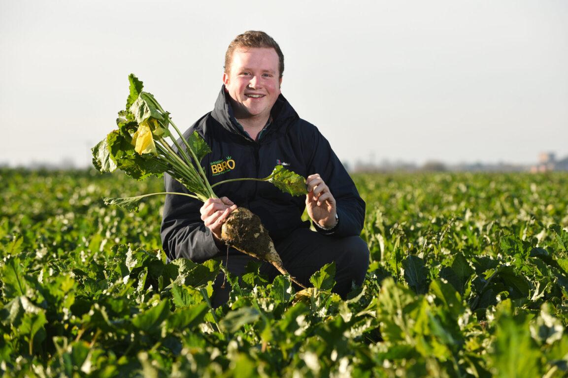
Multispectral drone data for academic research into crop response to nutrient application, variety trials, and soil health interventions.
How It’s Used
Deployed at defined growth stages to generate NDVI and vegetation index data aligned to controlled trial plots — enabling statistical analysis at field scale.
What It Is
•
NDVI time-series datasets
•
Plot-level vegetation index data
•
Orthomosaic imagery for GIS analysis
•
Exportable data for R/MATLAB analysis

What It Is
Using 5G-connected drone platforms such as the Parrot ANAFI AI for research projects requiring real-time data streaming, remote operation, or connectivity-dependent workflows.
How It’s Used
Particularly relevant for research institutions exploring autonomous systems, connected infrastructure, and future transport or communications research programmes.
What It Is
•
Real-time data streaming from field
•
Remote operation over 5G network
•
Connected autonomous research missions
•
Suitable for engineering, computer science, and robotics research
Colleges, T-Levels & Short Courses
Drone technology is not limited to universities and research institutes. Colleges across the UK are incorporating drones into T-Level programmes, short courses, and innovation modules — giving students hands-on experience with technology that employers are actively seeking.
T-Level integration
T-Level programmes in Engineering, Digital, and Land-Based Industries increasingly incorporate drone technology as a practical element. Coptrz Academy provides training and qualification pathways that align with T-Level practical skills requirements and employer-facing competency frameworks.
Short courses and innovation modules
Short drone courses are being adopted by colleges and further education institutions as standalone innovation modules and as enhancement components within existing technical programmes. The A2 CofC provides a fast, accessible qualification that delivers genuine workplace value and improves student outcomes.
Coptrz Academy cohort delivery
Coptrz Academy can deliver drone training to student cohorts on-site at college facilities or at Coptrz training locations — with scalable delivery options for groups of any size. Contact Coptrz Academy to discuss delivery options for your institution.
Featured Equipment For Research & Education
Research applications demand precise, repeatable data. The right platform depends on study type, required accuracy, and operating environments.
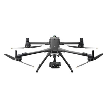
DJI Matrice 400
The research institution standard for multi-payload fieldwork

Multi-payload support for scientific sensors
RTK for centimetre-level positional accuracy
Compatible with Zenmuse L3 for research-grade LiDAR
Extended flight time for large study areas
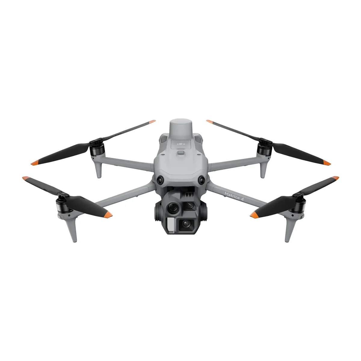
DJI Matrice 4E
Versatile multi-purpose research platform
Multi-payload support
RTK-compatible for precise positioning
Mechanical shutter for photogrammetry
Compact for backpack-based fieldwork
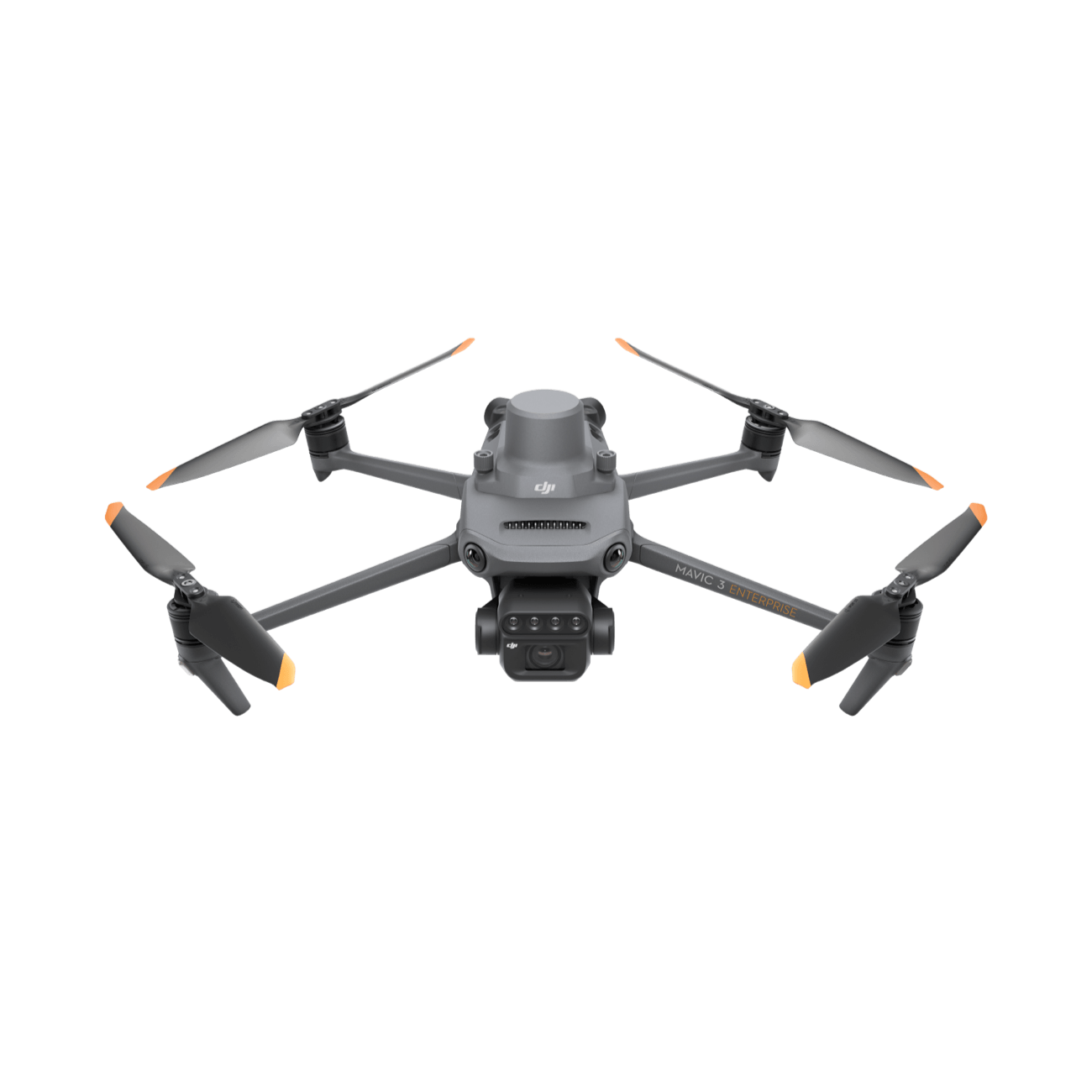
DJI Mavic 3 Multispectral
Portable multispectral platform for ecology and agri research
Four-band multispectral + RGB for vegetation indices
Sunlight sensor for calibrated data capture
Compatible with Pix4Dfields for
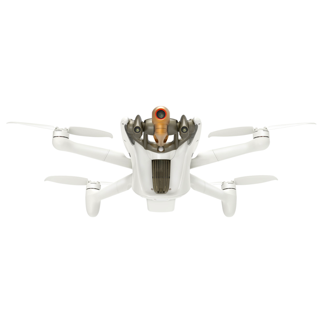
Parrot ANAFI AI
4G-connected research platform for connected and autonomous research
4G connectivity for real-time data streaming
Suitable for connected infrastructure and autonomous systems research
Particularly relevant for engineering, computer science, and robotics programmes
Specialist sensors & payloads
- View Product: AgEagle MicaSense RedEdge-P Dual

AgEagle MicaSense RedEdge-P Dual
- View Product: AgEagle MicaSense RedEdge-P
AgEagle MicaSense RedEdge-P
- View Product: AgEagle MicaSense Altum-PT
AgEagle MicaSense Altum-PT


From Field Deployment To Published Dataset: The Four-Step Workflow
Every research and education deployment follows the same structured workflow — from mission planning through to final client outputs. Here is what that looks like in practice.
1. Design
Define research question, select sensor and resolution, plan flight parameters for required data quality.

Research protocol alignment
Sensor selection
GSD and flight altitude calculation
Airspace and permissions check
2. Collect
Execute fieldwork mission — capturing multispectral, LiDAR, or photogrammetric data at defined parameters.
RTK-accurate positioning
Calibration panel capture
Flight log for methodology record
Flight log for methodology record
3. Process
Process raw data through DJI Terra, Pix4D, or QGIS to generate analysis-ready datasets.
Point cloud processing
NDVI and index calculation
Orthorectification
Dataset QA and validation
4. Publish
Integrate processed datasets into research outputs — GIS analysis, statistical models, and academic publication.
GIS-ready raster outputs
R/MATLAB compatible datasets
Archive for longitudinal monitoring
Methodology documentation
CAA-Recognised Training For Academic Institutions
Coptrz Academy delivers qualifications that can be embedded into undergraduate, postgraduate, and further education programmes — giving students operational competency alongside academic knowledge.
Recommended training for Research & Education teams
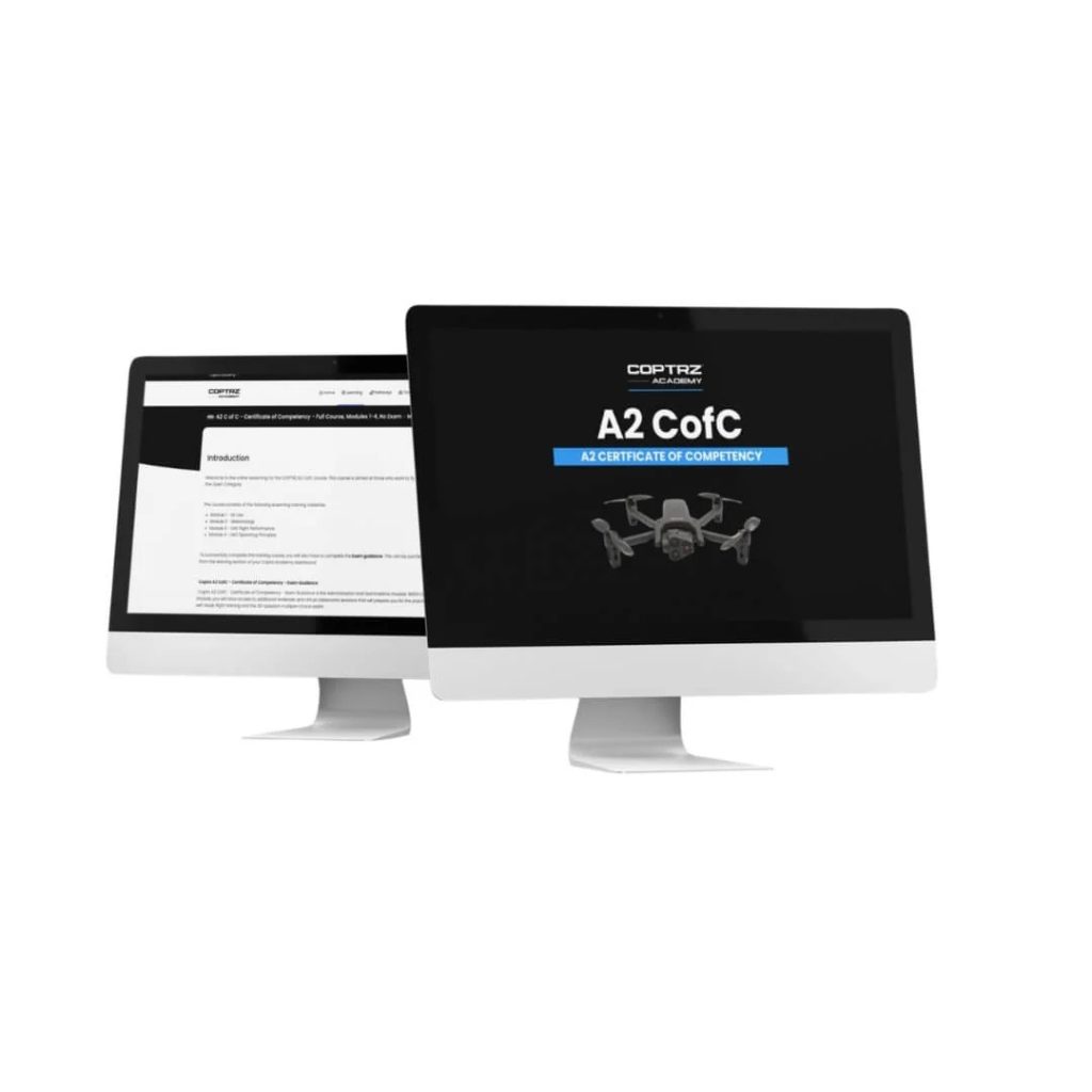
A2 CofC Online Drone Training Course
RPC-L1 Part A Online Drone Training Course
GVC to RPC-L1 Conversion Course
RPC-L1 Part A In-Person Drone Training Course
Keep Your Operations Running Without Downtime
Downtime on active projects leads directly to delays and additional cost. Reliable servicing and support ensure your equipment stays operational when you need it most.
DJI Certified repairs and servicing
Priority repair pathways to minimise disruption
Ongoing maintenance and lifecycle support
UK-based technical support from experienced teams
Deliverables Your Teams Can Use Immediately
Drone surveying produces a range of formats. Below is a plain-English breakdown of what each deliverable is, and which teams use it — so procurement, technical leads, and project managers all understand what they are commissioning.
Resources For Research & Education Teams
These resources help you validate decisions, reduce internal friction, and build a strong business case for drone deployment.
Guides to Support Your Decision

Multispectral Imagery Explained: From Basics to Application

Why Universities, Research Institutes and Government Agencies Are Turning to Drones
Proven Results In Real-World Projects
Research & Education
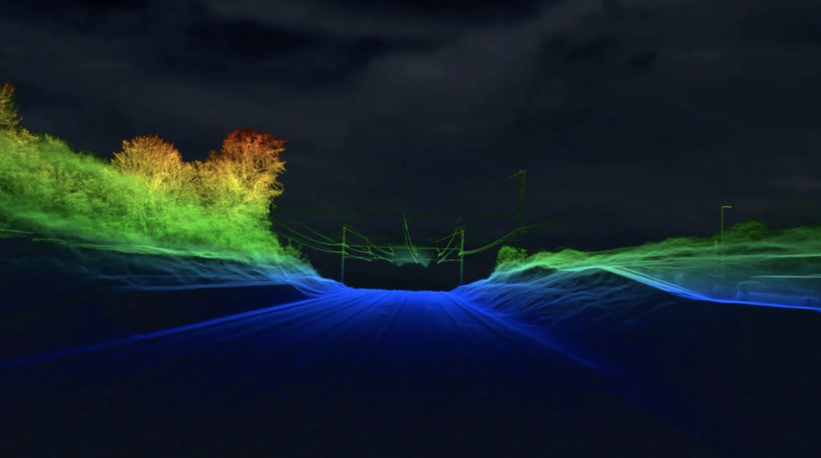
ABA Surveying
ABA Surveying Ltd
Drones cut LiDAR survey time to 20 minutes, compared to over 24 hours with traditional methods requiring surveyors to traverse embankments every 10 metres and clear vegetation.
Research & Education
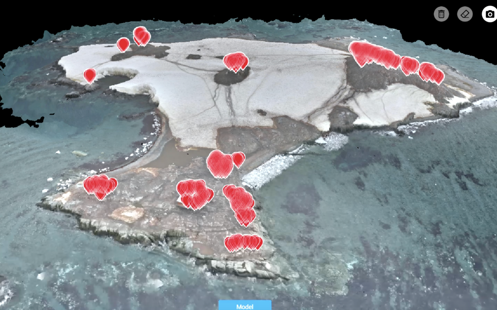
Oceanites
Oceanites, a US-based NGO
This advanced technology allows for the creation of precise 3D models of penguin colonies, providing stakeholders with critical data to make informed conservation decisions.

Research & Education
Archaeological Research Services
Archaeological Research Services Ltd
Leverages advanced drone technology to uncover hidden historical features with remarkable speed and accuracy.
Trusted Where Failure Is Not An Option

Nick Canham
Duncan Turner
Adam Carter
Emily B.

Partners & Clients
Why Coptrz For Research & Education?
Confidence In Every Step Of Your Programme
Coptrz has spent over a decade supporting commercial drone operations across the UK, helping businesses streamline workflows, improve accuracy, and reduce risk. That experience informs how we recommend, deploy, and support drone systems for the research and education sectors.
Our Key Benefits
Trusted by over 12,000 operators
4.9★ average rating at scale
UK-based technical and operational experts
Established UK fulfilment and support infrastructure
Coptrz Academy ensuring operator competence and continuity
End-to-end Drone Solutions
Proven results across critical national infrastructure projects
Over a decade of commercial drone operations experience
Frequently Asked Questions
For multi-discipline research requiring interchangeable payloads and high-accuracy positioning, the DJI Matrice 400 is the recommended platform. For ecology and environmental science, the DJI Mavic 3 Multispectral provides an accessible, portable option. For 5G-connected research, the Parrot ANAFI AI is specifically designed for connected research environments.
Yes. Coptrz Academy works with universities and colleges to integrate A2 CofC, GVC, and RPC-L1 training into modules — providing CAA-recognised qualifications as a component of undergraduate, postgraduate, or T-level programmes.
The Zenmuse L3 replaces the L2 as the current recommended LiDAR payload for the DJI Matrice 400. It provides higher point density and accuracy, simultaneous dual 100MP RGB capture alongside LiDAR, and is suitable for geoscience, forestry, engineering, and environmental research applications.
The Parrot ANAFI AI is a 5G-connected drone platform designed for research projects requiring real-time data streaming, remote operation, or connectivity-dependent workflows. It is particularly relevant for engineering, computer science, robotics, and connected infrastructure research programmes.
Yes. Coptrz Academy delivers training to colleges for T-level programmes, short courses, and innovation modules. Cohort-based delivery is available both on-site at the college and at Coptrz training locations. Contact the team to discuss options.
MicaSense produces advanced multispectral and thermal sensors compatible with the DJI Matrice 400 and other enterprise platforms. They are widely used in precision agriculture research, environmental monitoring, and ecology studies where research-grade spectral data is required.
Book Your FREE Online Consultation
Experience the unique advantage of our 360° drone solutions exclusively at Coptrz. With a network of over 20 partnerships with top-tier drone technology manufacturers, we’re uniquely positioned to provide a tailored solution that you won’t find elsewhere.
Accreditations
Recognised for excellence. Explore the industry certifications that validate our commitment to quality, compliance, and continuous improvement.

ISO 9001 Certified
Certified quality management systems for consistent service and customer satisfaction.

ISO 14001 Certified
Internationally recognised standard for environmental management and commitment to sustainable operations.

Cyber Essentials & Cyber Essential Plus
Government-backed certification demonstrating the highest level of commitment to robust cyber security.

The Equality Register Member
Committed to promoting equality, diversity, and inclusive practices across our entire organisation.

TQUK Recognised Centre
An officially recognised centre for Training Qualifications UK, delivering high-standard regulated qualifications

Registered with Elcas
Approved by the Enhanced Learning Credits Administration Service to provide funded training for Armed Forces personnel.

UK CAA Recognised Assessment Entity: RAE15510
CAA-approved to deliver drone training and assessment for RPC-L1, GVC and A2 CofC qualifications.

FCA Registered
Authorised and regulated by the FCA for consumer finance activities.
UK SORA & BVLOS Operations: SORA-28947, SORA-29134
Helping organisations obtain Operational Authorisations for BVLOS and other complex drone operations using the UK SORA framework.

Ofqual Regulated Training
Delivering prestigious, government-regulated training programmes that guarantee educational excellence and industry recognition.
Latest From Coptrz

Transforming UK Agriculture & Forestry with Advanced Drone Solutions

Elevating Public Safety: How Drones Are Transforming Emergency Response

DJI Matrice 400


