

Surveying & Construction
Learn how drones support surveying, mapping, progress tracking and site inspection across construction, engineering and infrastructure projects.
Surveying & Construction

How to Select the Perfect Data Format for Drone Mapping
Welcome to the world of drone data capture. If you’re a seasoned drone enthusiast or a professional in the field, you’re well aware that the true value lies not in the drone itself, but in the treasure trove of data it provides. However, navigating through the minefield of jargon, buzzwords, and technical terms related to […]

How the Emesent Hovermap mobile mapping LiDAR solution is used in construction management
At Coptrz, we understand that managing construction projects is a complex task where efficiency in timing and cost is crucial for businesses. Traditional methods of project management, which include steps like project planning, surveying, and monitoring progress, often become the very obstacles that lead to unexpected delays and additional costs. In the construction industry, outdated […]

Upgrade your DJI Matrice 300: TB65 Battery Compatibility
Upgrade your M300 with this In the dynamic world of drones, the DJI M300 RTK has consistently proven itself as a reliable choice for both enthusiasts and professionals. However, there’s an exciting development that will further enhance its performance. This comes in the form of the TB65 Intelligent Flight Battery, a new addition to the […]
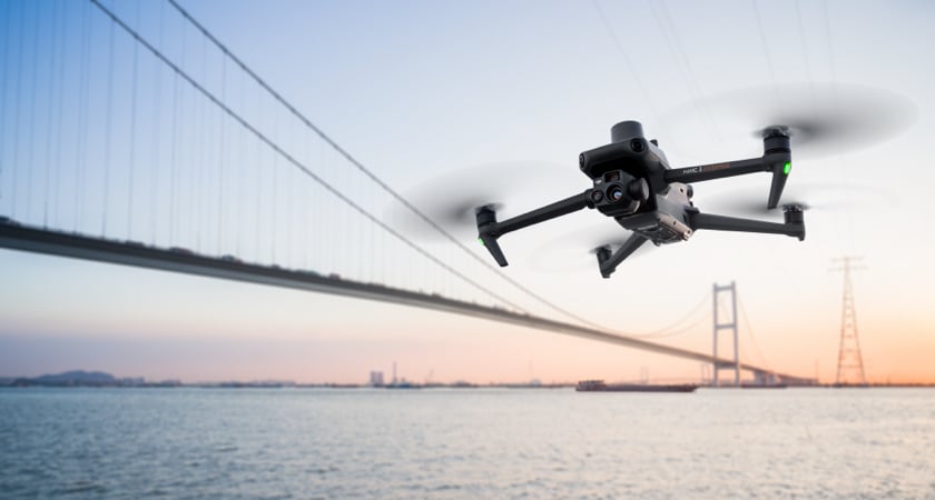
7 Surprising Features of The DJI Mavic 3 Enterprise Series
Compact, portable, and powerful, the Mavic 3E (M3E) drone is cleverly engineered for day-to-day operations. So, whether you’re a hobbyist pilot ready to go pro or searching for an adaptable solution to reinforce your commercial fleet, the Mavic 3E is in a league of its own. The functionality of the Mavic 3E makes it […]

Everything that you NEED to know about Emesent Hovermap ST-X
If you’re in the world of LiDAR scanning, chances are you’ve heard of Emesent by now. The Hovermap ST-X is Emesent’s newest premium product offering, built on the proven body of the ST. This new payload brings the same ruggedized functionality that we have come to expect from newer iterations of the Hovermap system but incorporates a brand-new LiDAR […]

DJI Mavic 3 Enterprise v DJI Phantom 4 RTK
The DJI Mavic 3 Enterprise is DJI’s latest entry into its Enterprise line, redefining the industry standards for small commercial drones. Optimised for drone mapping, the Mavic 3E will be replacing the beloved and now discontinued, Phantom 4 RTK. In this blog, we will look at the differences between the Mavic 3E and P4R, and […]

Answering Your Questions on the DJI Zenmuse P1
The DJI Zenmuse P1 is DJI’s first entry into the photogrammetry market. Integrating a full-frame sensor with interchangeable fixed-focus lenses on a 3-axis gimbal, this payload takes efficiency and accuracy to a whole new level. But just how good is this payload? In this blog, we’ll be answering your questions on the DJI Zenmuse P1. […]

Why do you need an RTK License for your drone?
In this ever-changing world of technology, refining and improving the concept of “ultimate precision” sits proudly at the top of the list for many innovators. An RTK Licence allows users to achieve centimetre level accuracy in real-time where there is a phone signal. RTK makes GPS/GNSS a very efficient tool for surveys, construction staking, machine […]

3 Ways Drones Could Change Wind Turbine Inspections Forever
Regardless of your industry, it’s certain that technology has changed at least one way you work. From artificial intelligence to smartphones and augmented reality, there’s no shortage of incredible new products to make our daily lives easier and more productive, yet it’s often the less glamorous innovations such as wind turbines that are having the […]
Best Commercial drones for beginners in 2022
Whether you are looking at deploying drones in your business or are thinking about starting your own drone services company in 2022. There is no better time to get involved in the commercial drone market. A recent report by PWC shows that drones will provide a £42 billion uplift to the UK economy by 2030. […]
How Will Pix4Dmapper Change The Way You Do Business?
If you’re looking to start making smarter decisions based on REAL data then it’s time to start utilising a 3D mapping software. By using software like Pix4Dmapper you can create 3D maps and models with the data from your drone. Learn about the full Pix4D software suite and how it can improve your organisation’s efficiency on our Pix4D Resource Centre. Your one-stop shop to […]

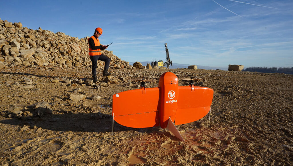
What’s the best entry-level drone for surveying?
5-10 minute read Numerous surveying and construction companies across the UK have been integrating drones into their operations for some time now. However, for those of you who haven’t made the jump yet, this blog will give you an introduction into the best entry level drones for surveying, so you can take that next step […]


Latest From Coptrz

Survey accuracy starts before the dataset, with pilot competence

Inspection work fails commercially when pilot competence is treated lightly

DJI Matrice 400

