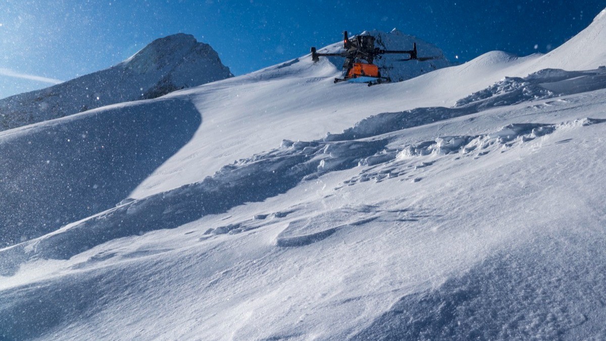
In the realm of snow and ice research, traditional methods like digging snow pits for stability assessments are labor-intensive and pose safety risks. Recognising these challenges, GEORESEARCH, in collaboration with LO.LA Peak Solutions GmbH and funded by the FFG, embarked on the STRATIFY project to explore innovative approaches to snowpack analysis.
The Challenge
Assessing snowpack stability in alpine regions often requires researchers to physically access avalanche-prone areas, making the process hazardous and time-consuming. Moreover, these methods are not practical for covering extensive terrains.
The Solution
In April 2023, the team conducted a field campaign at the Kitzsteinhorn Glacier ski resort in Austria. They deployed a DJI M300 UAV equipped with the Zond Aero 1000 Ground Penetrating Radar (GPR) system from SPH Engineering . Flying at a consistent altitude of 5 meters above the snow surface, the drone collected high-resolution subsurface data across a predefined grid. Complementary measurements, including snow depth probes and snow pit analyses, were conducted at select points for validation.
The Outcome
The integration of drone-based GPR technology enabled the team to map intricate details of snow and ice layers, revealing patterns and structures previously inaccessible. The developed algorithm for automated boundary layer detection facilitated swift and precise determination of current snow depth and snowpack stratigraphy. Validation against traditional methods showed a strong correlation, underscoring the reliability of this approach.
Implications
This advancement not only enhances the safety and efficiency of snowpack studies but also provides a scalable method for monitoring larger areas. The successful application of drone-mounted GPR in steep alpine terrains marks a significant step forward in remote sensing capabilities for environmental research.
As climate change continues to impact alpine regions, such innovative tools are crucial for informed decision-making and sustainable development.
Download Our FREE RPC-L1 Guide
Understand everything you need to know about moving towards commercial drone operations with our RPC-L1 guide.
- Understand what RPC-L1 is and who it is for
- Learn how the CAA transition impacts operators and training routes
- Get a clear breakdown of requirements, costs and next steps


Related Posts

Fixed Wing vs Multirotor Drones for Surveying
Fixed Wing VS Multirotor: Who wins? The use of drones for surveying and mapping has expanded in recent years as geospatial and construction companies realise the benefits that these systems provide. Today’s drones can collect much more detailed data than traditional survey methods allowing 3D maps to be created and shared easily online. But these […]

COPTRZ News: Greenpeace drone stunt highlights need for drone detection at critical facilities
Greenpeace have posted footage on their Facebook page of them flying a drone into a French nuclear facility. The group have claimed the stunt was performed to highlight security issues around the facility. The facility was reportedly “at no time worried about the drone or attempted to intercept it”. It was crashed into the tower […]
Drone Surveys: A Major Port Case Study
A survey was commissioned by a major port authority in the UK for a fuelling jetty used by a global oil major. The organisation wanted to have a direct comparison between traditional hydrographic survey techniques and drone-based survey, to ascertain whether this can be met by drones for their future needs. Preparation The survey site […]















