
In the ever-evolving field of geospatial mapping, the quest for accuracy and efficiency remains paramount. A recent independent study conducted by the Department of Special Geodesy at the Czech Technical University in Prague has shed light on the capabilities of modern mobile LiDAR systems, particularly in challenging environments like underground tunnels.
The Study at a Glance
Researchers undertook a comprehensive evaluation in a 120-meter-long mining tunnel, comparing the performance of traditional terrestrial laser scanners (TLS) with that of modern Simultaneous Localisation and Mapping (SLAM) based mobile scanners. The devices tested included two static scanners- Trimble Inc.X7 and FARO Technologies Focus and four SLAM-based systems from NavVis, geoSlam, Faro, and Emesent .
The primary focus was on assessing the overall accuracy of the point clouds generated by these devices, a critical factor in real-world applications.
Key Findings
- Accuracy: Emesent’s Hovermap ST-X outperformed all other devices in terms of overall point cloud accuracy.
- Data Completeness: SLAM-based scanners, including the Hovermap ST-X, provided more comprehensive point clouds with fewer gaps, owing to their mobility and reduced susceptibility to shadowing effects common in static scanning.
- Efficiency: The mobility of SLAM systems allowed for faster data collection, a significant advantage in environments where time and accessibility are constraints.
Implications for the Industry
This study underscores the advancements in mobile LiDAR technology, highlighting the potential for SLAM-based systems to not only match but exceed the performance of traditional TLS in specific scenarios. For industries reliant on precise and efficient spatial data—such as mining, construction, and infrastructure maintenance—the adoption of advanced mobile scanning solutions like the Hovermap ST-X could lead to significant improvements in operational workflows.
Availability in the UK
For professionals and organisations in the United Kingdom interested in leveraging the capabilities of the Emesent Hovermap ST-X, Coptrz stands as the exclusive distributor. Our expertise ensures that clients receive not only the product but also the necessary support and training to maximise its potential.
Conclusion
The integration of advanced SLAM-based mobile LiDAR systems represents a significant leap forward in spatial data acquisition. As demonstrated by the Hovermap ST-X’s performance in rigorous testing, these systems offer a compelling combination of accuracy, efficiency, and adaptability, setting new standards for the industry.
Download Our FREE RPC-L1 Guide
Understand everything you need to know about moving towards commercial drone operations with our RPC-L1 guide.
- Understand what RPC-L1 is and who it is for
- Learn how the CAA transition impacts operators and training routes
- Get a clear breakdown of requirements, costs and next steps


Related Posts
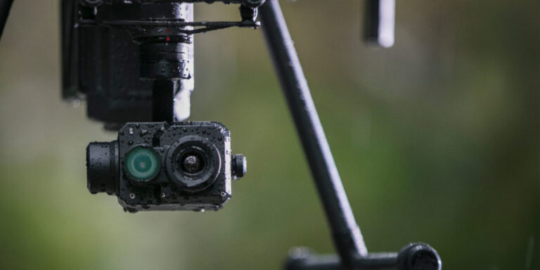
Understanding Drone Payloads
You’ll have heard us talking about payloads all over the site – but what exactly is it, and how does it affect your drone purchase choices? Payload: The Definition In short, the payload is the weight a drone or unmanned aerial vehicle (UAV) can carry. It is usually counted outside of the weight of the […]

How can I start surveying with drones? Understanding UK commercial drone laws
10 minute read How can I start surveying with drones in the UK? Understanding the ever-changing drone legislation in the UK is enough to give anyone a headache, especially if you’re looking to do it commercially and need to ensure your following the rules. We’ve written this blog to cut through the mysticism and give […]
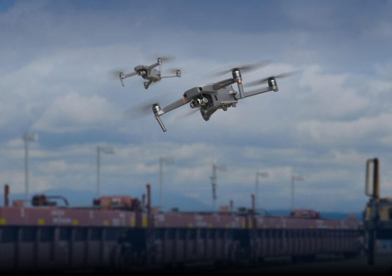
Thermal Drone Comparison: The Mavic 2 Enterprise Dual vs. a Zenmuse XT2 solution
With the launch of the Mavic 2 Enterprise Dual, DJI essentially offered up a one-stop solution for those looking to take the first step into the many areas of aerial thermography systems – whether that’s for inspections, search and rescue, site management, energy, agriculture or anything else where detecting even subtle changes in temperature can make a huge difference. However, […]















