Pix4Dmatic
Best Large-Scale Photogrammetry Software: Pix4Dmatic
Pix4Dmatic is the cutting-edge photogrammetry software engineered for professionals in industries like construction, surveying, and agriculture. Developed by Pix4D, this powerhouse processes extensive datasets captured by drones and other devices, ensuring high accuracy and efficiency in modelling and training tasks.
mplex processes.
Overview of Pix4Dmatic

Large Dataset Processing
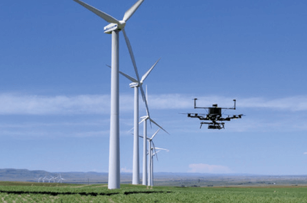
Pix4Dmatic handles massive volumes of images within a single project effortlessly, making it the go-to choice for large-scale mapping and surveying. Its robust capabilities eliminate the need to split and combine datasets, drastically reducing processing times.

Highly Accurate
Delivering survey-grade accuracy, Pix4Dmatic meets the rigorous demands of professional applications. Ideal for cadastral mapping, topographic surveys, or infrastructure monitoring, its advanced algorithms generate detailed and precise models.

Hassle-Free Alignment
Seamlessly integrating with other Pix4D products and third-party tools, Pix4Dmatic streamlines workflows and reduces operational time. Supporting both photogrammetry and LiDAR data, it offers comprehensive mapping solutions.


Advanced Data Solutions
Pix4Dmatic stands at the forefront of photogrammetry software, offering a range of data solutions tailored to various industries. Its advanced algorithms and flexible workflows enhance collaboration, transforming images into valuable, accurate data.

Exceptional Data Processing
Achieving a ground sampling distance of 1-2 pixels in the X and Y directions and 1-3 pixels in the Z direction, Pix4Dmatic guarantees precision and reliability. It gives users full control over their photogrammetry projects.

Innovation
With Pix4Dmatic, you get unmatched flexibility and efficiency. Its capability to process extensive datasets swiftly and accurately is vital for professionals needing high-quality results fast. Stay ahead with the latest in drone technology.

Better Operational Management
Pix4Dmatic empowers professionals to tailor their workflows to specific project requirements. Define areas of interest and select precise processing options for maximum accuracy in all your projects

Versatile Applications
Pix4Dmatic’s advanced features make it indispensable across multiple sectors. In surveying and construction, it delivers accurate site surveys and progress monitoring. In agriculture, it provides insights into crop health and yield estimation. Public safety agencies rely on it for disaster response and infrastructure inspection.
Buy Pix4Dmatic
FAQs
Yes, Pix4Dmatic processes both photogrammetry and LiDAR data for mapping and modelling.
Absolutely. Pix4Dmatic is optimised to process thousands of images, making it ideal for large-scale projects.
Pix4Dmatic supports numerous output formats, including .laz, .las, .xyz, .tiff, .jpg, and .obj.
Yes, Pix4Dmatic integrates seamlessly with other Pix4D products like Pix4Dsurvey, enhancing workflow efficiency
Pix4Dmatic supports multiple vertical coordinate systems and their corresponding geoids for accurate geospatial data.
Related Training


Related products
-

Ultimate Pix4DMapper Bundle
Price range: £0.00 through £5,831.86 Excl. VAT
Sky Hero LED Light Distraction System
AirData Enterprise
DJI FlightHub 2
£1,019.00 Excl. VATRelated Case Studies

Bolton College
Bolton College, part of the University of Bolton, is leading educational innovation, particularly in engineering and technology.


Unlock your business potential with drone technology