

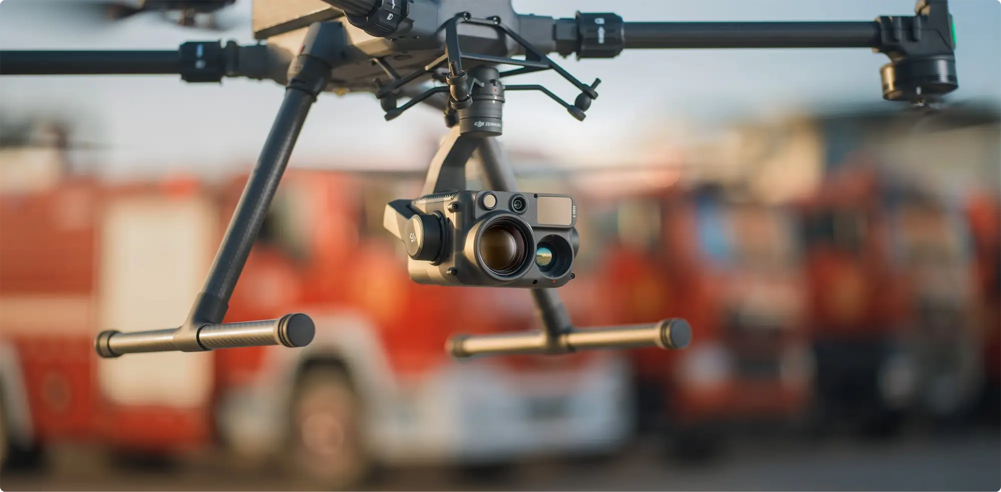
Drone Solutions for Surveying & Construction
Capture site data faster, improve measurement accuracy, and reduce delays across surveying and construction projects.
- Capture millions of survey points in hours, not days
- Measure stockpiles, earthworks and site progress with confidence
- Create accurate topographic surveys, point clouds and 3D models from a single flight

Get Your FREE Guide
Drones in the surveying and construction industry revolutionise efficiency and safety.
★ 4.9 average rating from verified customers
• Comprehensive Drone Training for Operational Success
• Tailored Drone Solutions for Every Industry
• Experienced Technical Support Team










Explore Surveying
Streamlined, Safer, And More Cost-Effective Operations
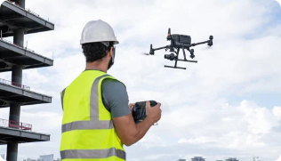
Faster Site Capture
Capture large sites in hours, not days, with repeatable workflows.
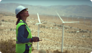
Reduced Operational Cost
Reduce reliance on scaffolding, manual surveys, and repeat visits.
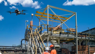
Improved Safety
Avoid sending teams into hazardous or hard-to-reach areas.
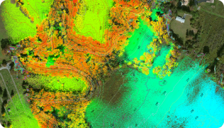
Better Data & Decision Making
Generate accurate, shareable datasets for planning and reporting.

Surveying Workflows In Practice
Every Surveying And Construction Project Is Different – But The Underlying Workflows Are Consistent.
Below is a breakdown of how drone surveying is applied across common use cases, including what is captured, why it matters, and what teams get out of it.
Get The Full Surveying Solutions Breakdown
See which workflows, platforms, and outputs are used across real surveying and construction projects — and how to apply them to your own.
What It Is
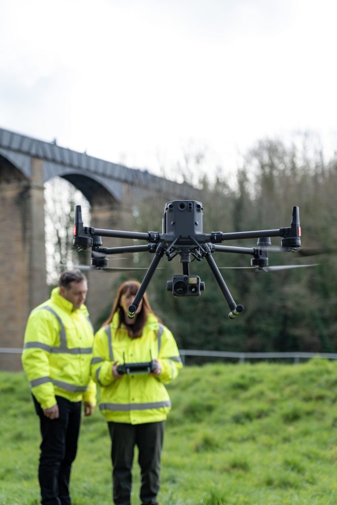
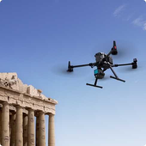
Capturing accurate dimensional data of buildings to produce plans, elevations, sections, and 3D models for design, refurbishment, and asset documentation.
How It’s Used
Applied to external structures such as roofs, façades, chimneys, and high-level features, as well as internal layouts where full building understanding is required. Particularly valuable for complex or hard-to-access buildings.
Why It Matters It Is
Reduces the need for scaffolding, repeat site visits, and manual measurement. Improves coverage, consistency, and speed — especially on large or high-risk structures.
Typical Outputs
•
Elevations and roof plans
•
3D building models
•
Point cloud datasets
•
BIM-ready design inputs
What It Is
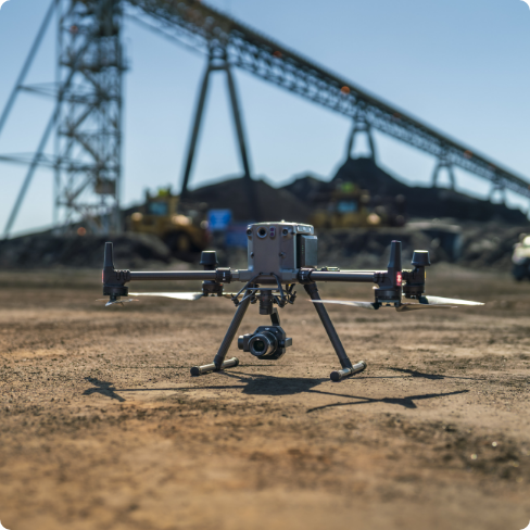
Capturing the shape, levels, and surface features of land to create accurate terrain models used for planning, design, and development.
How It’s Used
Applied across large open sites, development land, infrastructure corridors, and earthworks projects where full site visibility is required. Particularly effective for mapping uneven terrain, tracking ground changes, and documenting site conditions over time.
Why It Matters It Is
Traditional methods can be slow, labour-intensive, and limited in coverage. This approach enables rapid, repeatable site capture with a complete view of the terrain — improving planning accuracy, reducing time on site, and supporting better decision-making across engineering and construction teams.
Typical Outputs
•
Digital Terrain Models (DTM)
•
Contours and surface data
•
Georeferenced site imagery
•
Point cloud datasets for design use
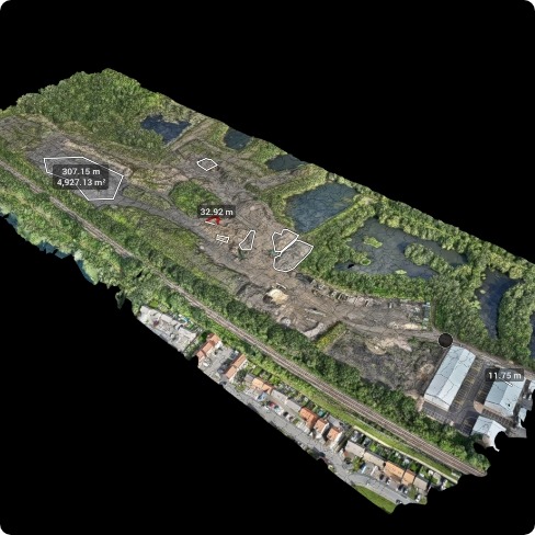
What It Is
Using drone technology to capture accurate stockpile volumes by measuring the dimensions of materials or waste across sites for reconciliation, financial reporting, and compliance.
How It’s Used
Applied across quarries, construction yards, material stockpiles, and recycling sites. Drones calculate the exact volume of aggregates and materials, supporting stakeholders like site managers, project managers, and quantity surveyors.
Why It Matters
Minimises manual measurements and reporting errors, and increases efficiency by providing automated volume reports that save time and reduce human error.
Typical Outputs
•
Cut/fill reports
•
Stockpile volume reports
•
Material reconciliation reports
•
Commercial sign-off for quantities
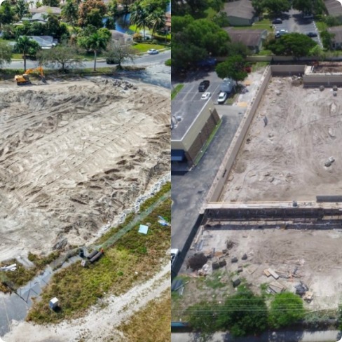
What It Is
Using drone technology to capture regular aerial snapshots of construction progress, tracking changes over time to compare planned vs. actual progress.
How It’s Used
Used throughout the construction process to monitor ongoing works, site conditions, and progress against project timelines. Aerial imagery can be compared to previous snapshots for detailed reporting.
Why It Matters
Improves reporting accuracy and reduces the need for frequent site visits. It also streamlines communication with stakeholders by providing visual updates, which increases project transparency.
Typical Outputs
•
Time-series comparisons
•
Progress reports
•
Visual site comparisons (before/after)
•
Site change tracking
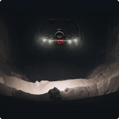
What It Is
Capturing data of hard-to-reach spaces such as internal building layouts, tunnels, and confined spaces where traditional methods may be too risky or time-consuming.
How It’s Used
Drones or SLAM scanners are used to safely navigate and capture data from internal spaces or hazardous environments, including tunnels, sewers, and asset inspections in confined spaces.
Why It Matters
Reduces the need for manual entry, improving worker safety, and enabling comprehensive, 3D documentation of confined spaces. This is crucial for long-term asset management and maintenance planning.
Typical Outputs
•
3D models of internal spaces
•
Point clouds of confined areas
•
Structural condition assessments
•
Inspection records
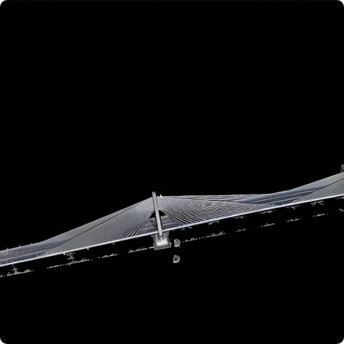
What It Is
Surveying long stretches of land, such as railways, highways, and utility corridors, with the help of drones or LiDAR systems to gather geospatial data and document infrastructure conditions.
How It’s Used
Used to map and inspect infrastructure like railways, roads, tunnels, and utility routes. Drones capture vast areas quickly, ensuring that survey data is consistently gathered for long-term monitoring and maintenance.
Why It Matters
Reduces downtime on infrastructure assets and improves the speed and accuracy of site surveys. It also supports better decision-making on infrastructure planning and maintenance by providing frequent, up-to-date data.
Typical Outputs
•
Corridor models
•
Cross-sectional data
•
LiDAR scans of infrastructure
•
Asset condition reports
Get The Full Surveying Solutions Breakdown
See exactly which platforms, sensors, and workflows are recommended for each surveying use case.
Featured Equipment For Surveying & Construction
Selecting the right equipment is not just a hardware decision. It directly impacts accuracy, efficiency, and long-term performance across your projects.
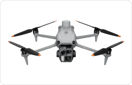
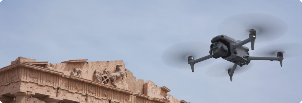
DJI Matrice 4E Enterprise Drone
Sharper insights with greater operational safety and reliability.

Intelligent Operation Functions
Clear Vision and Stable Images
Excels in Low-Light Environments
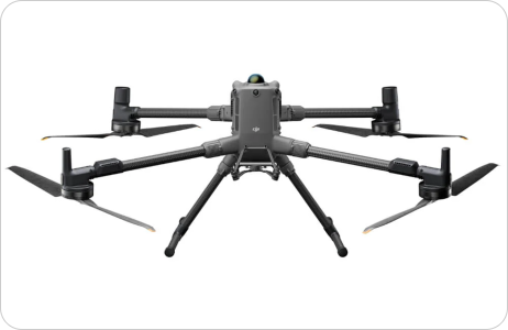
DJI Matrice 400 Enterprise Drone Worry-Free Plus Combo
Advanced Enterprise Drone With Multi-Payload Capability
Enhanced Intelligence And Efficiency
Power-Line-Level Obstacle Sensing
Extended Flight Time
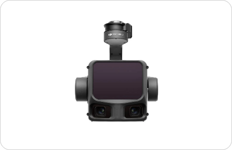
DJI Zenmuse L3 Worry-Free Plus Combo
Next-Generation LiDAR Accuracy For Serious Surveying
1535nm Long-Range LiDAR
Compatible Only With DJI Matrice 400
Dual 100MP RGB Mapping Camera
Other Surveying & Construction Drone Setups
- View Product: Emesent GX1 RTK SLAM Scanner

Emesent GX1 RTK SLAM Scanner
- View Product: Flyability Elios 3

Flyability Elios 3
- View Product: Emesent Hovermap
Emesent Hovermap
- View Product: DJI Terra

DJI Terra


From Site Visit To Deliverable: The Four-Step Workflow
Every surveying and construction deployment follows the same structured workflow — from mission planning through to final client outputs. Here is what that looks like in practice.
1. Plan
Scope the site, define what deliverables are required, and select the right hardware based on terrain, vegetation cover, access constraints, and accuracy requirements.

Mission plan
Hardware selection
Site risk assessment
Regulatory check
2. Capture
Fly the drone (M4E / M400 + L3 / Elios 3) or walk a SLAM scanner (Hovermap / GX1) to collect raw imagery, point cloud, or LiDAR data across the site.
Raw imagery
LiDAR returns
SLAM point cloud
Flight logs
3. Process
Raw data is processed through DJI Terra or equivalent software to build georeferenced surfaces, orthomosaics, 3D models, and point clouds ready for client use.
DJI Terra processing
Georeferencing
Surface generation
QA checks
4. Deliver
Final deliverables are packaged for client use — point clouds, orthomosaics, CAD/BIM-ready data, volume reports, progress dashboards, and annotated visuals.
Orthomosaic
Point cloud
BIM/CAD files
Volume report
Progress pack
Photogrammetry Or LiDAR?
Here Is How To Decide
The technology choice is not about preference — it is about what the site demands and what accuracy the deliverables require. Getting this wrong adds cost and delays.
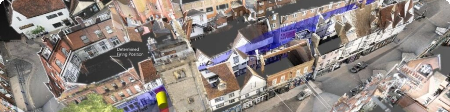
Photogrammetry
Uses high-resolution imagery captured from multiple overlapping angles to reconstruct surfaces and 3D models. The M4E with RTK delivers survey-grade accuracy without ground control points on clean, open terrain.
Use when
Site is open with minimal vegetation
High-quality visual output is required
You need lower entry cost with strong accuracy
Stockpile volumes, progress monitoring, or site surveys
Orthomosaic and 3D model are the primary deliverables
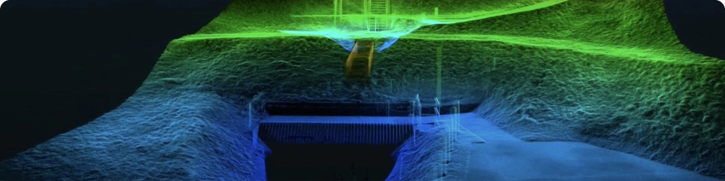
The commercial implication: choosing photogrammetry when LiDAR is required means inaccurate ground models — which flow through to incorrect earthworks volumes, design errors, and rework. The right technology choice at the start protects accuracy and budget throughout the project.
Deliverables Your Teams Can Use Immediately
Drone surveying produces a range of formats. Below is a plain-English breakdown of what each deliverable is, and which teams use it — so procurement, technical leads, and project managers all understand what they are commissioning.

Get The Full Surveying Solutions Breakdown
See exactly which platforms, sensors, and workflows are recommended for each surveying use case.
Ensure Your Team Is Operationally Ready
The right technology only delivers results when your team knows how to use it effectively. Training ensures consistency, compliance, and long-term success across your operations.
Recommended Training for Surveying & Construction Teams

RPC-L1 Part A Drone Training Course (In-Person Classroom)
A2 CofC – Certificate of Competency Drone Training Course

RPC-L1 Part A Online Drone Training Course

Advanced Professional Development Learning Course in Understanding the Use of UAVs in Construction
Keep Your Operations Running Without Downtime
Downtime on active projects leads directly to delays and additional cost. Reliable servicing and support ensure your equipment stays operational when you need it most.
DJI Certified repairs and servicing
Priority repair pathways to minimise disruption
Ongoing maintenance and lifecycle support
UK-based technical support from experienced teams
Decision Resources For Surveying & Construction Teams
These resources help you validate decisions, reduce internal friction, and build a strong business case for drone deployment.
Guides to Support Your Decision

DJI Matrice 4 Series vs. DJI Mavic 3 Enterprise Series Comparison Guide

LiDAR vs Photogrammetry Guide

3 Sectors Set to be Transformed by Commercial Drones: #1 Surveying
Proven Results In Real-World Projects
Surveying & Construction
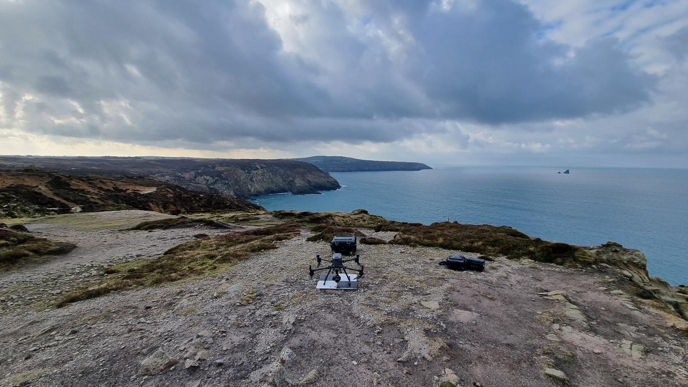
Mapping 75km of Cornish coastline, from the air
Cormac
Large-scale coastal data capture for geological assessments.
Surveying & Construction
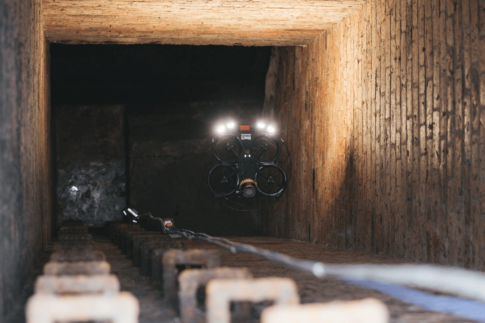
Sewer surveying, 4 times faster.
Academy Geomatic
Delivering a survey of unprecedented scope, covering terrain that on-foot teams could not reach.
Surveying & Construction
Castle Keep & Co
Castle Keep & Co
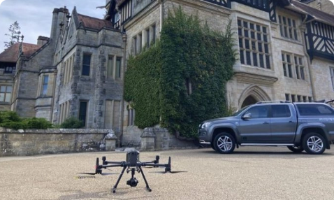
Castle Keep Surveys, founded by Mick Dixon, has a rich history in the surveying industry.
Trusted Where Failure Is Not An Option

Nick Canham
Duncan Turner
Adam Carter
Emily B.

Partners & Clients
Why Coptrz For Surveying & Construction?
Confidence In Every Step Of Your Surveying & Construction Journey
Coptrz has spent over a decade supporting commercial drone operations across the UK, helping businesses streamline workflows, improve accuracy, and reduce risk. That experience informs how we recommend, deploy, and support drone systems for the surveying and construction sectors.
Our Key Benefits
Trusted by over 12,000 operators
4.9★ average rating at scale
UK-based technical and operational experts
Established UK fulfilment and support infrastructure
Coptrz Academy ensuring operator competence and continuity
End-to-end Drone Solutions
Proven results across critical national infrastructure projects
Over a decade of commercial drone operations experience
Frequently Asked Questions
Drones can capture high-resolution images, videos, thermal data, LiDAR scans, and topographical data, providing detailed and accurate information for planning, monitoring, and inspections.
Drones perform tasks that would otherwise require workers to enter hazardous areas, reducing the risk of accidents and injuries. They eliminate the need for manual inspections at heights or in dangerous environments.
Drones reduce labour costs, minimise the need for expensive equipment like scaffolding and cranes, and shorten survey and inspection times. This leads to significant savings in operational expenses and project budgets.
Drones equipped with advanced sensors like LiDAR and high-resolution cameras provide highly accurate measurements, essential for detailed surveys, volume calculations, and structural assessments.
Yes, drones can capture real-time images and data, allowing project managers to monitor progress, identify delays, assess work quality, and make informed decisions to keep projects on schedule.
Software such as DJI Terra, Pix4D, and similar platforms are used to process drone data. These tools generate orthomosaics, 3D models, and volumetric calculations, and facilitate data analysis and reporting.
Drones create accurate site surveys and maps using photogrammetry and LiDAR, generating detailed topographical maps and Digital Elevation Models (DEMs). This data aids in the design and layout of construction projects.
Yes, drone data and reports can be exported into formats like PDF and Word documents, making it easy to share with project stakeholders, clients, and team members for effective communication and collaboration.
Drones capture aerial images of stockpiles, and software like DJI Terra processes this data to generate precise volumetric measurements. The drag-and-click interface allows for easy area selection and calculation.
Drones provide faster, more accurate, and safer data collection. They reduce the need for extensive manpower and equipment, minimise disruptions to ongoing work, and offer detailed, real-time insights that enhance project planning and execution.
Book Your FREE Online Consultation
Experience the unique advantage of our 360° drone solutions exclusively at Coptrz. With a network of over 20 partnerships with top-tier drone technology manufacturers, we’re uniquely positioned to provide a tailored solution that you won’t find elsewhere.



Latest From Coptrz

Survey accuracy starts before the dataset, with pilot competence
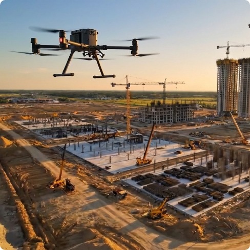
Inspection work fails commercially when pilot competence is treated lightly

DJI Matrice 400


