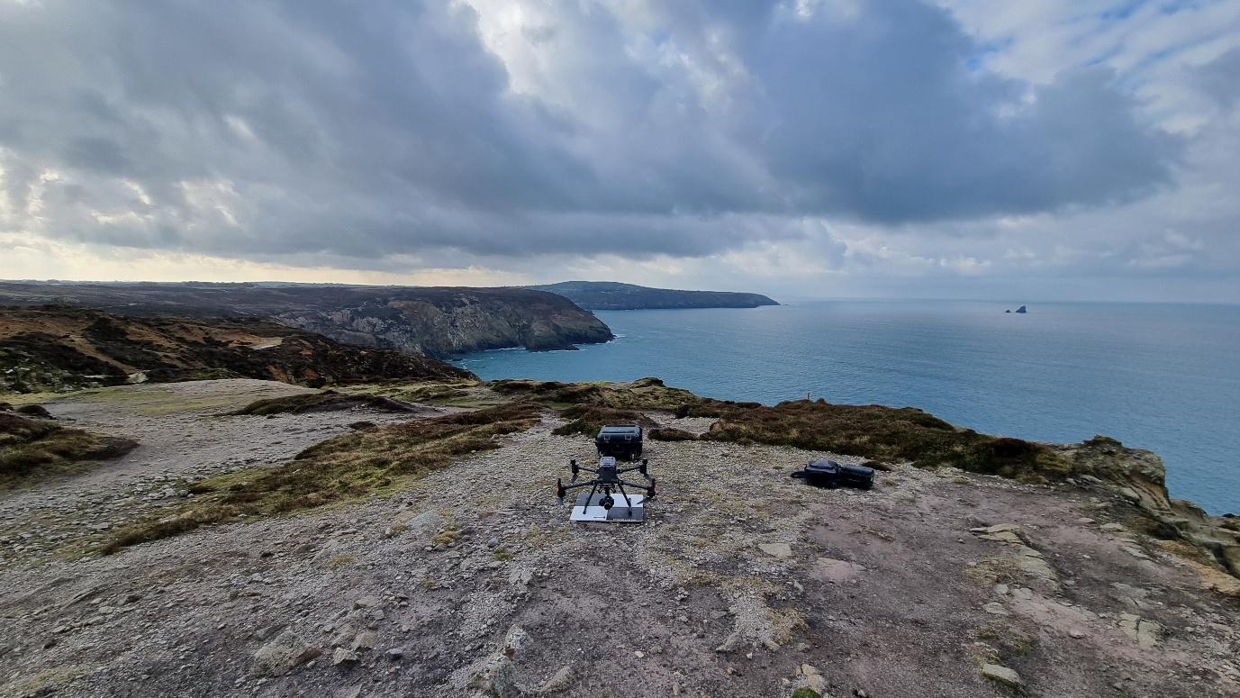
Mapping 75km of Cornish coastline, from the air
Large-scale coastal data capture for geological assessments.
Cormac was tasked with delivering high-accuracy survey models across a vast stretch of Cornish coastline, covering cliff faces, foreshore and inaccessible terrain to support geological and geotechnical assessments for the mineral extraction sector.
The deliverables had to be precise enough to underpin downstream engineering decisions, and broad enough to give a continuous picture of the entire site.
Sector:
- Mineral extraction
- Government
- Civil engineering
- Ecology
- Geological
- Geotechnical
- Structural
Get your FREE case study
Learn how CORMAC have made their operations safer through the use of drone technology.
A coastline-scale capture, in numbers.
Over roughly sixty processing days, two Cormac operatives delivered a survey of unprecedented scope, covering terrain that on-foot teams simply could not safely or practically reach.
75 km
of coastline captured
19 km²
area surveyed
156k
images captured
34B
points created
149k
images processed
~1,000
ground control points
~350
ortho tiles generated
60
full processing days
Outcome: The project's commercial return helped fund Cormac's next-generation UAS & sensor investment.
Hardware
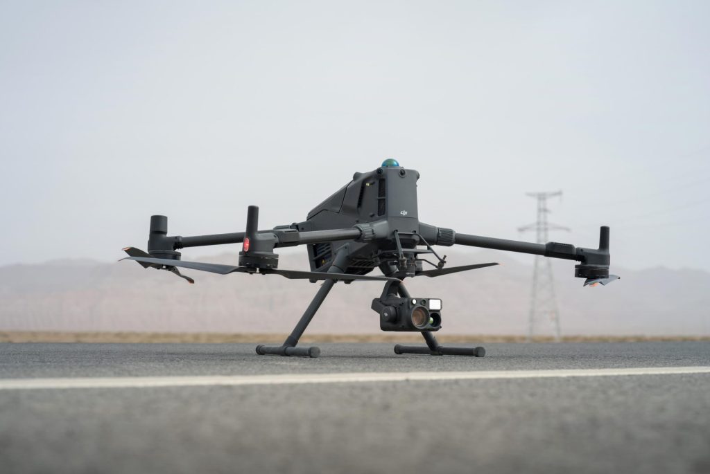
The DJI M300 RTK and M400, flown with the Zenmuse P1 and H30T, gave Cormac the endurance, payload flexibility and image quality required for surveygrade output at coastal scale.
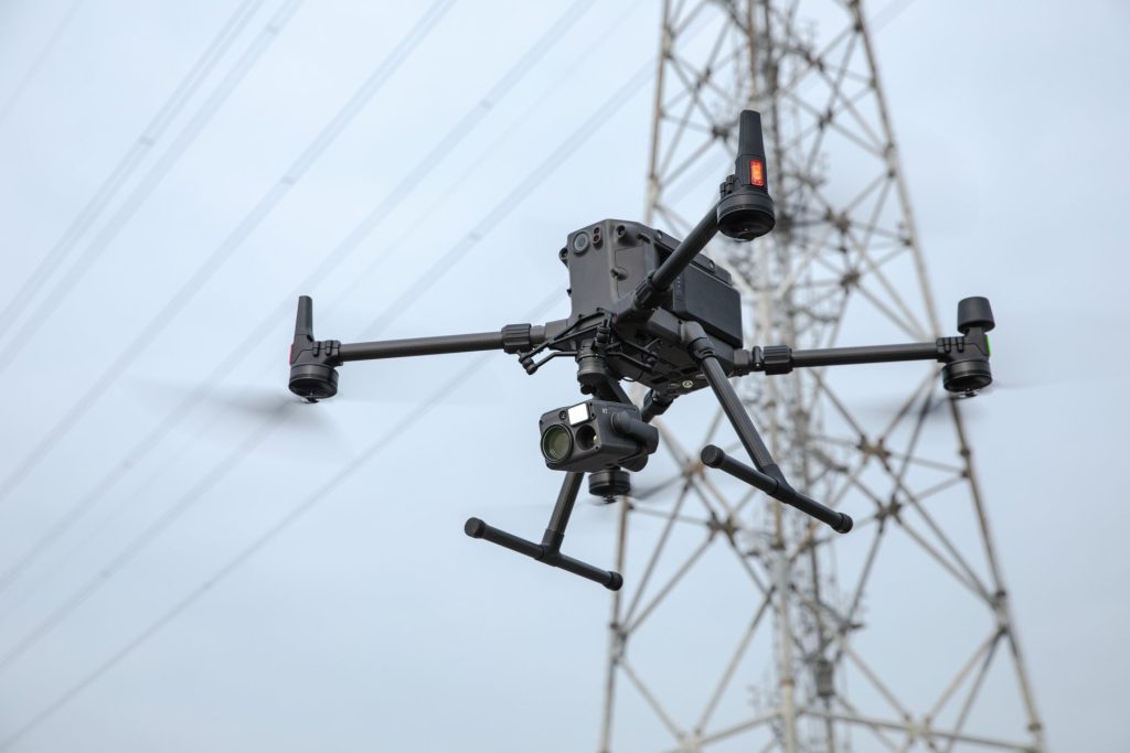
DJI Matrice 300 RTK
PLATFORM · UAS
Workhorse RTK platform with the endurance and reliability for long-line coastal flights.
DJI Matrice 400
PLATFORM · UAS
Next-generation airframe with extended flight time and payload flexibility.
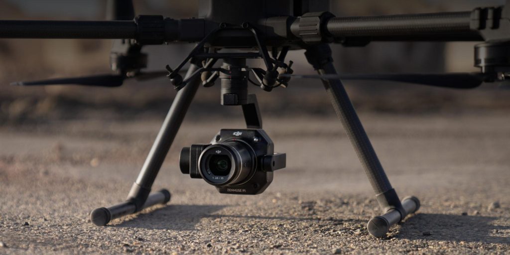
Zenmuse P1
SENSOR · PHOTOGRAMMETRY
45 MP full-frame photogrammetry, the workhorse for ortho and pointcloud generation.
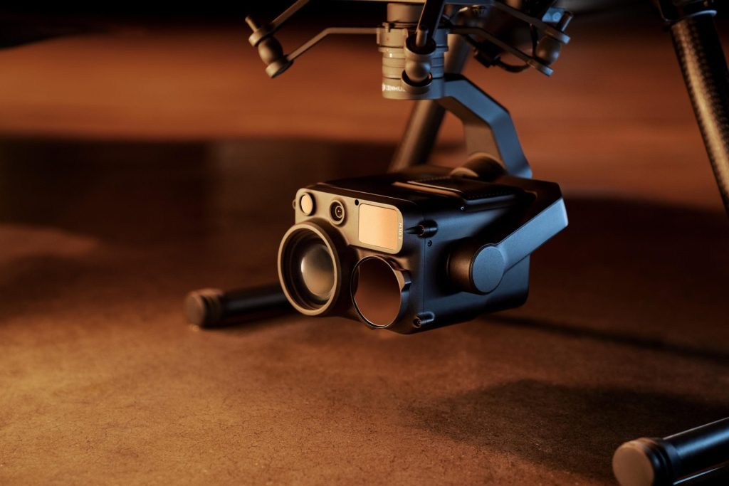
Zenmuse H30T
SENSOR · MULTI-PAYLOAD
Hybrid wide / zoom / thermal / laser, capturing situational data alongside the photogrammetric pass.






Impartial Expertise for
Commercial Drone Integration
End-to-end Drone Solutions
Complete drone solutions, including hardware, software, pilot training, repairs and support.
Impartial Advice
Industry experts work closely with you to find the best solution for your organisation.
UK's Widest Drone Selection
We're not limited to one brand, we offer the UK's widest range of world-renowned suppliers.

Accreditations
Recognised for excellence. Explore the industry certifications that validate our commitment to quality, compliance, and continuous improvement.

ISO 9001 Certified
Certified quality management systems for consistent service and customer satisfaction.

ISO 14001 Certified
Internationally recognised standard for environmental management and commitment to sustainable operations.

Cyber Essentials & Cyber Essential Plus
Government-backed certification demonstrating the highest level of commitment to robust cyber security.

The Equality Register Member
Committed to promoting equality, diversity, and inclusive practices across our entire organisation.

TQUK Recognised Centre
An officially recognised centre for Training Qualifications UK, delivering high-standard regulated qualifications

Registered with Elcas
Approved by the Enhanced Learning Credits Administration Service to provide funded training for Armed Forces personnel.

UK CAA Recognised Assessment Entity: RAE15510
CAA-approved to deliver drone training and assessment for RPC-L1, GVC and A2 CofC qualifications.

FCA Registered
Authorised and regulated by the FCA for consumer finance activities.
UK SORA & BVLOS Operations: SORA-28947, SORA-29134
Helping organisations obtain Operational Authorisations for BVLOS and other complex drone operations using the UK SORA framework.

Ofqual Regulated Training
Delivering prestigious, government-regulated training programmes that guarantee educational excellence and industry recognition.
Latest From Coptrz

Transforming UK Agriculture & Forestry with Advanced Drone Solutions

Elevating Public Safety: How Drones Are Transforming Emergency Response

DJI Matrice 400


