Any business looking to stay ahead of the competition make it their mission to leverage the latest technological innovations. Commercial drones are one such innovation being discussed in boardrooms and offices around the world as business leaders continue to look for ways to use technology to improve their bottom line. Over the next few weeks, we’ll be discussing how a commercial drone can improve the performance, productivity and profits of 3 key sectors.
We asked over 45,000 drone operators and enthusiasts for their views on the UK Drone Market and where unmanned aerial technology stands to improve business results in their own and other industries. With responses from influencers in the creative, industrial and commercial sectors, there were 3 key areas which stood out as being prime for commercial drone applications.
At number 1…..Surveying
Despite 70% of respondents working in different industries, Surveying* was highlighted as the sector most likely to benefit from commercial drones, and it’s in this area that UAV technology is truly breaking ground.
With the complex task of determining the relative position of features on the earth’s surface whilst considering distance, elevation and direction, Surveyors are perfectly placed to be the earliest adopters of advanced geospatial technology. Innovation in this sector has led to higher expectations of both data and deliverables. People want more accurate information, in less time, supported by robust workflows, and this is where drones come in.
Edit: COPTRZ understand the challenges ahead when integrating drones in to your workflow. For this reason, we are offering you a FREE 30-minute drone strategy consultation. This gives you the opportunity to get 1-on-1 with a UAV expert and cover hardware, training, industry-specific applications and best practice methods in integrating drones into your current workflows.
The Right Tools for the Job
The most advanced surveying equipment can be prohibitively expensive for most independent operators and small businesses. Mobile mapping systems which utilise LiDAR can run into hundreds of thousands of pounds for a single unit. Commercial drones cost significantly less and whilst they may not be capable of delivering as dense a point cloud as you would get from MLS, your average entry-level system is more than capable of acquiring enough accurate geospatial data which can be used for precision maps and 3D modelling.
Drones have such potential in the surveying sector that the leading manufacturer, DJI, have recently launched a UAV specifically designed for the market – the Matrice 210 RTK. For the true professional, this drone pushes the boundaries of unmanned aerial systems to the limit. With an IP43 rating, it’s capable of flying in dusty conditions, heavy rain and higher winds that any other commercial drone on the market, and with a payload capacity of over 2kg, the 210 RTK can be equipped with a multitude of sensors for thermal imaging, 4K video and even laser scanning.
What makes the Matrice 210 RTK specifically great for surveyors? The enhanced positioning capabilities. D-RTK is a high precision positioning and navigation system designed by DJI to provide ultra-accurate 3D positioning down to the centimetre both horizontally and vertically. This has great benefits to surveyors, particularly when the operator is flying within known coordinate systems, as it allows the pilot to place themselves accurately within that system to within a centimetre.
Getting the Most Out of Survey Data
Having the best drone on the market is one thing but what’s the use of all of this technology if you don’t benefit from better quality data? Choosing how best to interpret the information you have collected is critical for any survey company so if you are using UAV’s look at using software which will help you to get the most out of aerial data.
Pix4D has been designed specifically with drones in mind. From photogrammetric surveys of gas treatment plants to large-scale industrial asset management projects, Pix4D enables surveyors to take aerial data and translate it into meaningful maps and plans without having hours of post-processing work.
The software converts images from any camera into accurate maps and models which can be exported as digital surface models and true orthomosaics to allow your data to be analysed on many other GI platforms. Pix4D also supports RTK so should be the software of choice for anyone operating the Matrice 210 RTK.
Our Pix4D workshop teaches you all you need to know about processing commercial drone data.
Safe & Sound
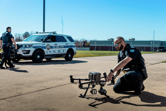
A Surveyor’s job is physically tough and it can be pretty dangerous. From construction sites to elevated structures, surveys are often conducted in the most hazardous and difficult environments, leading to a high injury rate within the sector. The ability to collect measurements and imagery remotely from an aerial position doesn’t just save time, it can also save lives – or at the very least limit the risks that surveyors are exposed to on a regular basis.
Although BVLOS restrictions are still in place in most countries, most commercial drones can still be sent into areas where access is restricted or where there is the risk of danger to personnel. If someone has reported damage to a rail tunnel or there has been a landslide, there is no longer the need to send in ground crews. Sending a commercial drone in to do the dirty work cuts out almost all risk of onsite injury, in addition to providing more information than would be possible from a visual inspection alone.
The Need for Speed
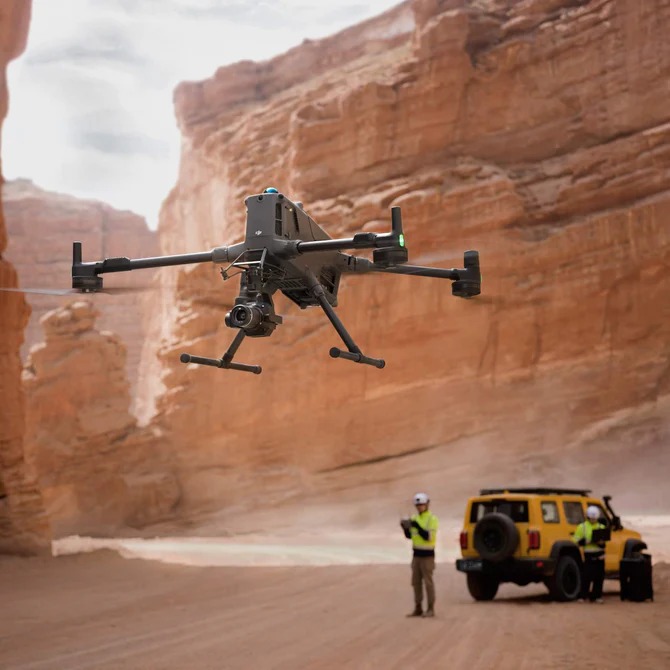
With the objective of creating maps and plans which give in-depth insights to stakeholders, a Surveyor’s job not only becomes easier using commercial drone technology, it also becomes faster. Where a team of field surveyors may once have been sent to cover a large area using terrestrial laser scanners or total stations, it now only takes one operator to cover large sites in a fraction of the time.
The time saved by collecting data in a continuous stream, rather than having to repeatedly stop and set-up, means that jobs are completed more quickly and equipment can be utilised for more projects. This is a win-win for companies, surveyors and clients as data can be proved more quickly and decisions can be made faster – up to 30 times faster!
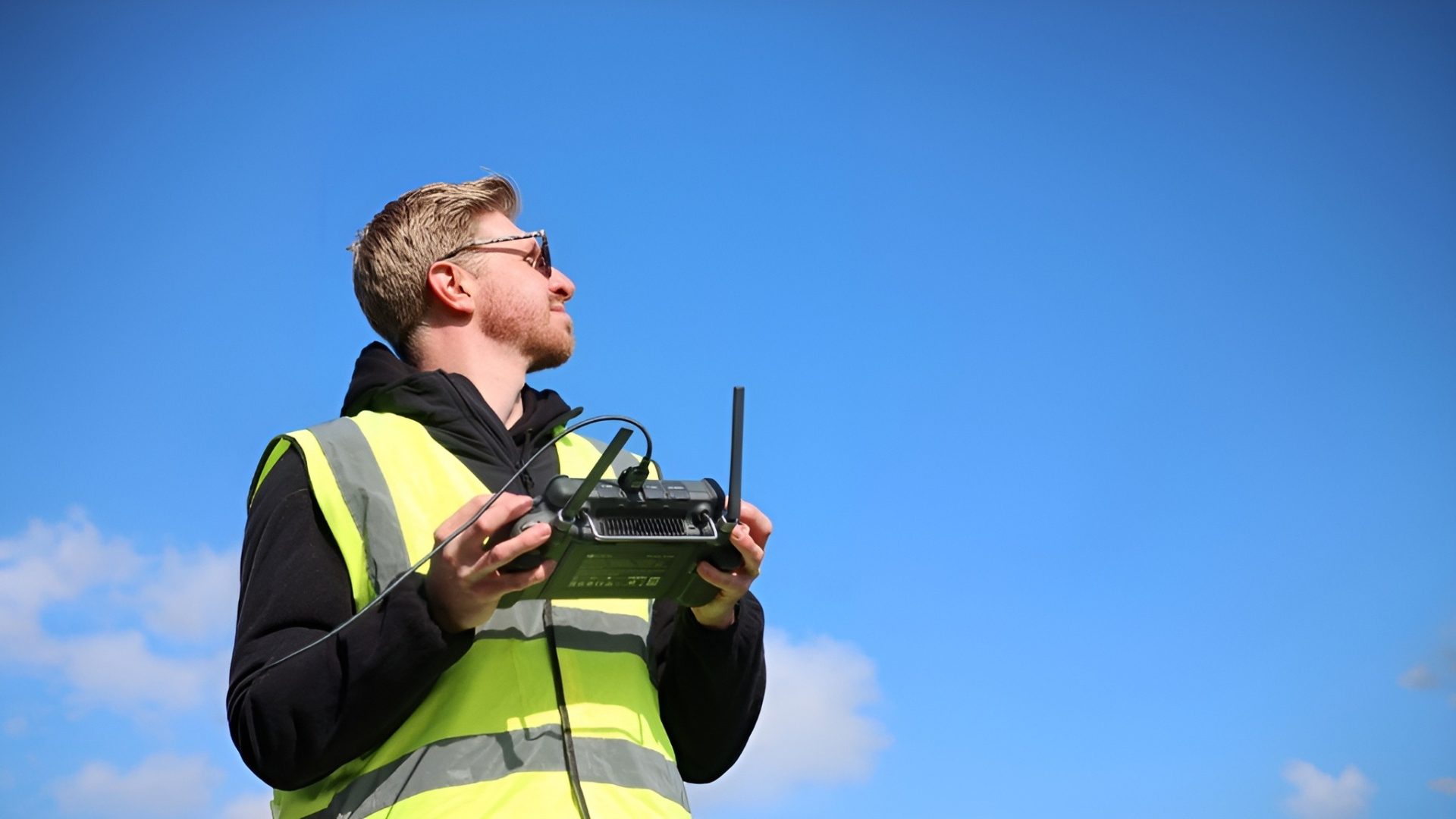
Extended Flight Duration
Battery life was the second most important consideration for our customers, after camera quality and the average flight time of half an hour is often enough for many commercial drone users, but for large-scale projects, tethers are the answer to limitations of rechargeable batteries. Tethers allow for unlimited flight time, providing surveyors with the ability to deploy the drone once and acquire data for as long as needed, or until the data capacity is full. They provide a reliable power supply in situations where it’s impractical or even impossible to change batteries at the drop of a hat.
Tethering systems can also be used to transfer data, meaning information is available in near real-time. Speak to our commercial drone experts about Elistair tethers.
Download Our FREE RPC-L1 Guide
Understand everything you need to know about moving towards commercial drone operations with our RPC-L1 guide.
- Understand what RPC-L1 is and who it is for
- Learn how the CAA transition impacts operators and training routes
- Get a clear breakdown of requirements, costs and next steps


Related Posts
RPC-L2 Explained and What It Still Does Not Solve for BVLOS
RPC-L2 Explained and What It Still Does Not Solve for BVLOS RPC-L2 matters because it is the first point in the CAA competence structure where the conversation turns seriously towards Beyond Visual Line of Sight flight. What it is not, however, is a blanket BVLOS licence. This article sets out exactly what RPC-L2 covers, what […]
COPTRZ Sign a Partnership to Supply Elistair Tethered Drone Systems
COPTRZ, the UK commercial drone solution provider, are proud to announce that we have reached an agreement to become a distributor of Elistair’s tethered drone systems in the United Kingdom. The use of airborne tethers is expected to increase rapidly. Companies are searching for new and innovative ways to make deliveries at a faster and […]

Army Veteran Stu Logan’s Journey: Launching a Successful Drone Business
Stu Logan makes up one-half of Unmanned Air Veterans along with his business partner Tom Hubbard who met each other while serving in the British military. After being introduced to drones very early on when he was assigned the role of drone pilot, Stu says he hasn’t looked back since! But it hasn’t all been […]