Latest from Coptrz
Stay updated with the latest insights, tips, and industry news on our blog. Discover expert advice, success stories, and innovative uses of drone technology. Our blog features a diverse range of topics to keep you informed and inspired.
All Posts
Emesent Hovermap ST-X Surpasses Traditional TLS in Independent Tunnel Survey
In the ever-evolving field of geospatial mapping, the quest for accuracy and efficiency remains paramount. A recent independent study conducted by the Department of Special Geodesy at the Czech Technical University in Prague has shed light on the capabilities of modern mobile LiDAR systems, particularly in challenging environments like underground tunnels. The Study at a […]
Capturing Clarity Without Compromise
In the realm of renewable energy, ensuring the integrity of wind turbine blades is paramount. Traditional inspection methods often necessitate halting turbine operations, leading to significant downtime and associated costs. Enter Drone Solution’s innovative approach: utilising UAV-mounted high-resolution cameras to inspect turbine blades while they remain in motion. The Challenge Conventional inspections require turbines to […]
Why DJI’s Latest Drones Are Raising the Bar for Reliability and Efficiency
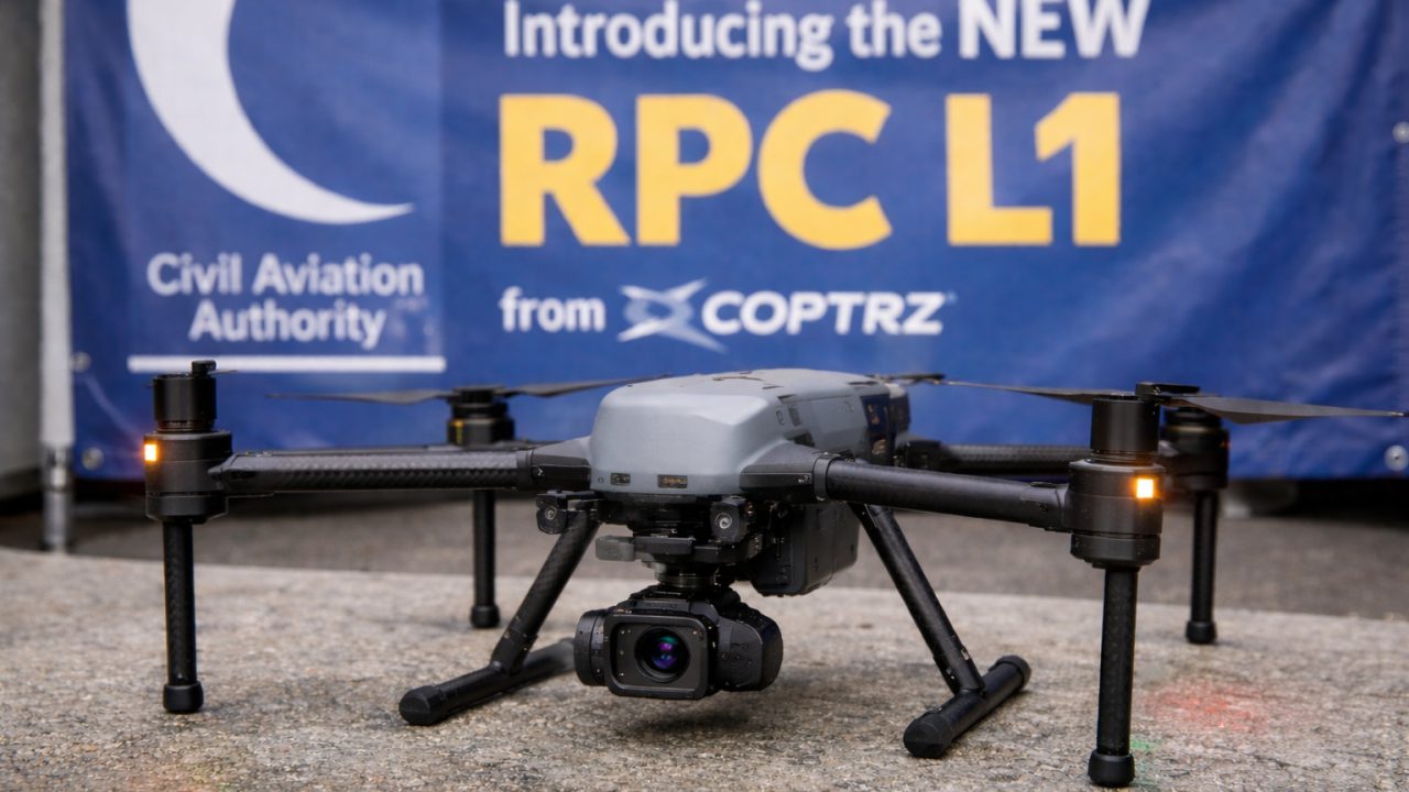
When you’re deploying drones for critical operations — whether that’s public safety, infrastructure inspection, or utility work — every second and every feature counts. That’s why DJI’s latest aircraft, the Matrice 4TD, is turning heads and setting a new benchmark in efficiency, reliability, and intelligent performance. We recently took a deep dive into how it […]
How Drone-Based Ultrasonic Testing Enhances Safety and Efficiency
Industrial storage tanks are vital components in sectors like oil & gas and power generation. Ensuring their structural integrity is paramount, yet traditional inspection methods often involve draining tanks, manual entry, and significant downtime. Enter the Flyability Elios 3 drone equipped with an ultrasonic thickness (UT) payload—a game-changer in non-destructive testing. The Challenge Conventional tank […]
Enhancing Radio Telescope Precision with UAV Photogrammetry
In the realm of geospatial research, precision is paramount. The University of Tasmania’s recent project exemplifies how integrating advanced UAV photogrammetry can significantly enhance the accuracy of radio telescope measurements. The Challenge The Mount Pleasant Radio Telescope Observatory in Hobart houses a 26-meter radio telescope crucial for Positioning, Navigation, and Timing (PNT) research. Over time, […]
A One-Day, Multi-Sensor Drone Mission
In the ever-evolving field of geospatial data collection, efficiency and precision are paramount. Aeromedia U.A.V., S.L., a Spanish aerial survey specialist, recently demonstrated how integrating multiple drone-mounted sensors can achieve both. The Mission Tasked with surveying a 10-kilometer corridor encompassing both land and water near the Ruecas reservoir in Cáceres, Spain, Aeromedia faced the challenge […]
Cadastral digitisation made easy with PIX4Dmatic
Digitising cadastral surveys is pivotal for modernising land management and urban planning. Traditional methods often involve extensive fieldwork, which can be time-consuming, costly, and challenging, especially in areas with complex terrains or limited accessibility. However, advancements in drone technology and photogrammetry software have revolutionized this process, enabling efficient and precise data collection. A compelling example […]
How Elios 3 is Transforming Scan to BIM in Confined and Complex Spaces
In the world of infrastructure and industrial inspection, Building Information Modelling (BIM) has become a standard. But capturing the data to feed these models—especially in hazardous or hard-to-reach areas—remains a challenge. That’s where Flyability’s Elios 3 steps in. With its collision-tolerant design and industry-leading LiDAR payload, the Elios 3 is enabling faster, safer, and more […]
The Role of Drones in Education: Enhancing Surveying, Construction, and Beyond
Drones, or Unmanned Aerial Vehicles (UAVs), have revolutionised various industries, including education. In the UK, institutions are increasingly integrating drones into their curriculum, particularly in surveying, construction, and other technical fields. Their ability to provide real-time data, improve safety, and enhance learning experiences makes them invaluable tools for students and professionals alike. Drones in Surveying […]
Revolutionising Utility Mapping: The Power of Gaussian Splatting
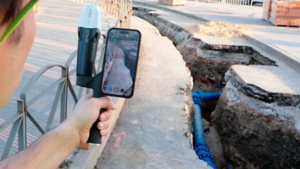
In the realm of utility management, accurately documenting underground infrastructures has always been a complex challenge. Traditional methods often fall short, leading to data gaps and incomplete visualizations. Enter Pix4D Gaussian splatting—a groundbreaking technique that’s redefining how we capture and visualise subterranean utilities. The Limitations of Conventional Methods Historically, surveying underground utilities involved hiring land […]
Why Emesent’s Hovermap ST-X is Redefining SLAM LiDAR Mapping Accuracy in 2025
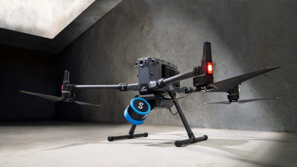
The LiDAR mapping space is no stranger to innovation, but every now and then, a technology sets a new benchmark that redefines expectations. Emesent’s latest Hovermap Accuracy Report delivers exactly that. Based on independent testing at GeoWeek 2024 and head-to-head comparisons with both SLAM and TLS systems, the Hovermap ST-X emerges not just as a […]
DJI Matrice 4 Series vs. DJI Mavic 3 Enterprise Series: A Comprehensive Comparison
With the introduction of DJI’s latest enterprise drone the Matrice 4 series, you may now be faced with a decision on which suits you best, the Matrice 4 Series or the Mavic 3 Enterprise Series. Both are designed to meet the diverse needs of professionals across various industries, but they differ significantly in capabilities, design, and applications. This […]


