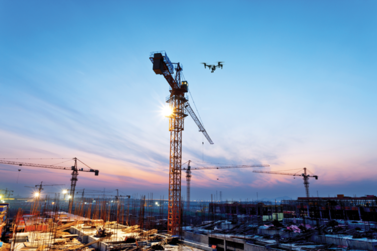
Surveying & Construction
Learn how drones support surveying, mapping, progress tracking and site inspection across construction, engineering and infrastructure projects.
Surveying & Construction

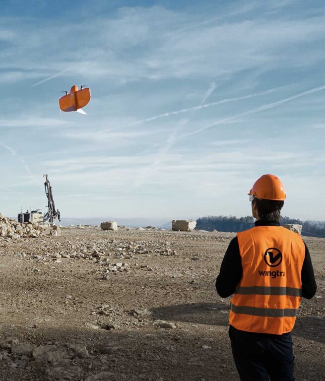
VTOL drone WingtraOne used in wildlife research to cuts risk, cost and time
Thinking of upgrading your current aircraft model to a WingtraOne Fixed Wing? Check out our Wingtra trade-in scheme and save up to £3,900 on a brand new drone. Murdoch University in Australia recently undertook a UAV solution evaluation due to their need to monitor endangered sea mammals. This evaluation led them to the WingtraOne VTOL. […]
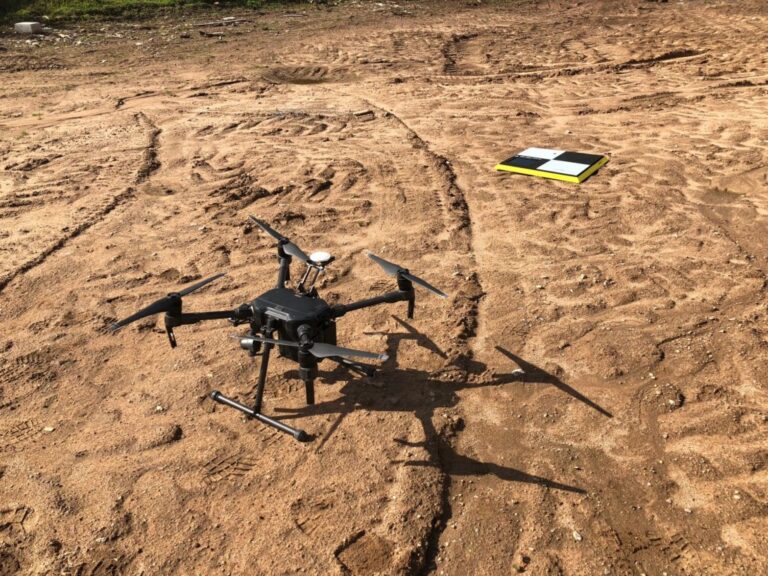
Innovair: Using the DJI Matrice 210 for land surveying and inspection
COPTRZ recently had the opportunity to speak to Andrew Johnston, Director of Inspection at Innovair. Andrew has over 10 years of experience in the oil and gas industry and is a qualified UAV pilot. He specialises in advanced and remote inspection technology and programme & software development. Drones are becoming an increasingly popular tool used […]

LiDAR Sensors for Drones: Top 5 Options
As you might have already heard, COPTRZ is now proud to be partnering with LiDAR USA. They are one of the world’s premier LiDAR manufacturers and provide many of the leading sensors available for drones in 2018. So, if you’re looking to make use of the power of LiDAR drone sensors, then you’ve come to […]
Why use drones to survey your mines?
The mining industry was one of the first industries to see the benefits of drone technology, with early UAVs being used to inspect hazardous conditions, reducing the risk of injury. But drone technology has moved on significantly over the past five years. Today’s drones are capable of much more than the simple collection of visual […]
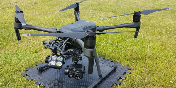
Matrice 200 Series: Part 2 – The Payloads
This is the second part of a two-part series taking an in-depth look at the Matrice 200 Series. This part looks at a number of different payloads that can be used to enhance your data capturing capabilities. The series features the DJI Matrice 200, as well as the DJI Matrice 210 and M210 RTK. Described […]
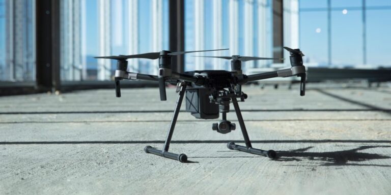
DJI Matrice 200 Series: Part 1 – Commercial Applications
Part 1 of a 2 part series, this blog will take you through the different commercial applications the Matrice 200 series is ideal for. The Matrice 200 series are commercial drones from DJI that are built for robustness and durability. Adaptive engineering that makes it suitable for a wide range of commercial applications. It is […]

When and why to upgrade your commercial drone
Like all modern technology, drones are improving at an incredibly rapid pace. The commercial drones available in 2018 are much more advanced compared to the industry-leading drones from just 1 or 2 years ago. As such, it could well be the perfect time to trade in your existing drone for a much more feature-packed model. […]
Illegal ways that drones are getting used
Stunning aerial shots, gathering necessary covert intelligence and receiving your Amazon order the very same day. There is no denying that drones and drone technology are very useful. They can be hugely beneficial to many industries in a number of different ways. As with anything, however, there is always the risk of technology being misused […]

COPTRZ Sign Exclusive Partnership to Supply Ready-to-Fly Drone LiDAR Systems
We are proud to announce that we reached an agreement to become the sole distributor of Ready to Fly Drone LiDAR systems developed by LiDAR USA. The use of airborne LiDAR is expected to increase rapidly in the next 12 months as surveying businesses strive to increase time efficiency and decrease costs. This partnership between […]
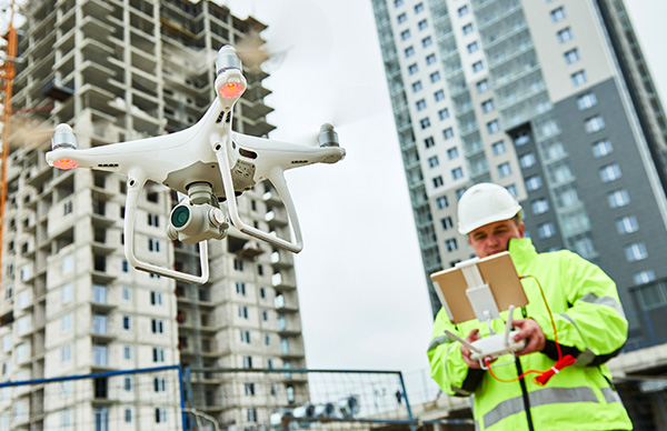
How Drones are Revolutionising the BIM Process
With a growing list of commercial applications, drones are starting to have an increasingly dramatic effect on the way that businesses operate. Their versatility offers certain industries a unique solution to everyday problems. In particular, they are allowing construction firms the chance to reduce costs, speed up their processes and improve site safety. This is […]
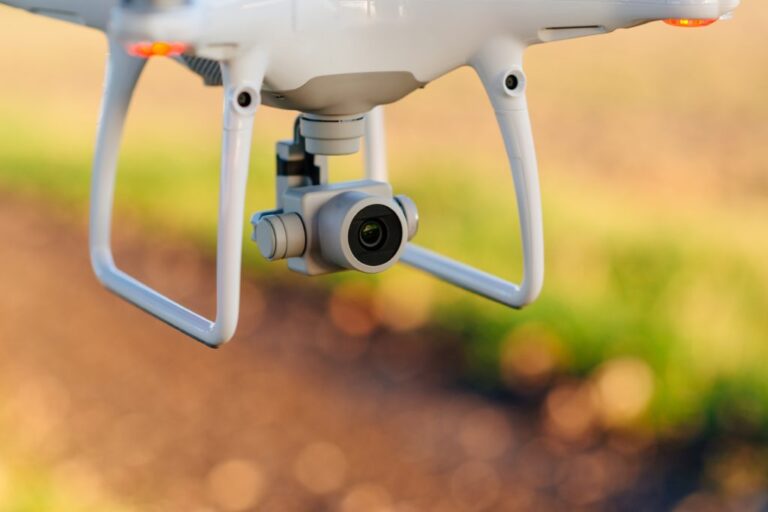
Choosing the right camera for drone surveys
With the rise in drone technology over the past few years has come the broadening of choice when it comes to aerial cameras. There are a huge variety of cameras now available to choose from, making picking the right model for the job a potentially complex process. Drone surveying is one such task which relies […]
Drones and Topographic Surveying: A Match Made in Heaven
Drones were once seen as futuristic devices which were the preserve of the military and scientific projects. But if one sector embodies the move of drones into the mainstream, it is in topographic surveying. This is where unmanned aircraft are now a fundamental part of modern map making. It is accepted that drones have singlehandedly […]


