Surveying & Construction
Learn how drones support surveying, mapping, progress tracking and site inspection across construction, engineering and infrastructure projects.
Surveying & Construction

5 Great Applications For The Elios 2 Inspection Drone
In this article we’ve rounded up 5 great applications for the Elios 2 Inspection Drone across various sectors. We’ve got great videos, great imagery, great use cases and quotes straight from the field. If you’re thinking about adopting the Elios 2 Inspection Drone into your operations then this article is a great place to enhance […]

Drone Data And Climate Change
Drones for Good: Drone Data And Climate Change The impact of global warming on a broad variety of communities has been well-documented, highlighted and forecast. However, there are specific parts of the world where predictions to mitigate the risks of global warming are made more challenging by changing temperatures, difficult terrain and environmental complexities. One […]

Drones And Ground Penetrating Radar: Drones For Good
Drones And Ground Penetrating Radar: Drones For Good While much has been written about the danger drones pose for planes when they are flown negligently, there are actually a number of positive uses for UAVs in relation to aircraft. Let’s take a look at how one drone and ground penetrating radar helped to uncover a […]
Commercial Drones – A Basic Buyers Guide
Commercial Drones – A Basic Buyers Guide When commercial drones first arrived on the market, choices were relatively limited. Nowadays, when it comes to purchasing commercial UAVs (unmanned aerial vehicles), or drones as they’re more commonly known, there’s a vast array of choices out there. So much choice, in fact, that sometimes it can be […]

OFQUAL 5: Chief Pilot Training course
Take your drone training to the next level with OFQUAL 5 Chief Pilot Training As we’ve discussed in the past, if you want to operate drones on a commercial basis in the UK you need a Permission for Commercial Operations (PfCO) – typically delivered via a three or four-day course from a National Qualified Entity […]

Maximising Drones in Surveying – James Pick Masterclass
What you’ll find out by reading this Coptrz article on our exclusive James Pick ‘Maximising Drones in Surveying’ Masterclass: What you’ll learn from the James Pick ‘Maximising Drones in Surveying’ masterclass Why this course is relevant to you Why you don’t want to miss this course What to expect from Coptrz Academy in 2020 How […]
Coptrz Introduce Complete Drone Survey Package
We are very pleased to present you the ultimate starter drone survey package. This is a one stop shop to help revolutionise your business with drones. The drone survey package consists of a carefully curated selection of industry leading technology and training. With the purchase of this package you will receive PfCO training to allow […]
Should you switch to drones? Historic England reveals all…
We’re pleased to announce that Gary Young, Geospatial Analyst at Historic England will be joining us at the COPTRZ Live Drone Demo Day 2020 on the 5th of March in Rugby. Championing England’s Heritage, Historic England has used drone acquired imagery since 2008 and has built up long experience of using such platforms alongside other […]

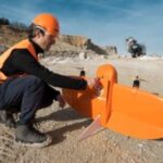
The 5 Best Applications For Fixed-Wing Drones
Thinking of upgrading your current aircraft model to a WingtraOne Fixed Wing? Check out our Wingtra trade-in scheme and save up to £3,900 on a brand new drone. What are fixed-wing drones and when should you use them? When most people think about fixed-wing drones, they think about huge military UAVs with the bombing capacity […]

Hasselblad or Phase One: A Metric Camera Comparison
If Hasselblad are the tried and tested option, PhaseOne has become the maverick of the industrial camera industry. Drone surveys are quickly becoming the fastest, most reliable way of carrying out inspections and surveys across the world. From powerline mapping to emergency response, sending a drone up into the air doesn’t just save time, […]

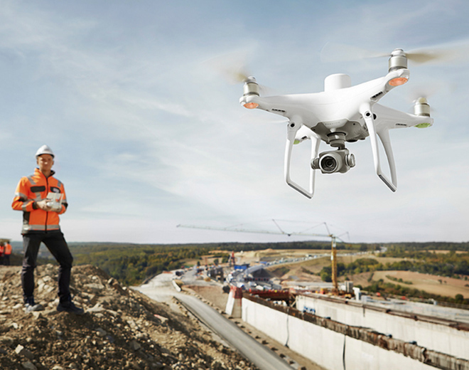
Five Drone Surveying Case Studies
Drones are revolutionising the way in which surveyors gather data, making day-to-day operations faster, safer and more cost-effective when compared to traditional surveying methods. When it comes to aerial surveying and inspections, there’s never been a better or easier time to get yourself Drones. Drones are revolutionising the way in which surveyors gather data. They […]

Case Study: Property photography using drones
Property has always been a solid market to get into, whether you’re building them, fixing them, drawing them or filming them with drones, houses and land will always be gold. According to general estimates, there are around 7,000 PfCO qualified pilots in the UK right now. However, probably a quarter of them, are still […]


