

We’re pleased to announce that Gary Young, Geospatial Analyst at Historic England will be joining us at the COPTRZ Live Drone Demo Day 2020 on the 5th of March in Rugby.
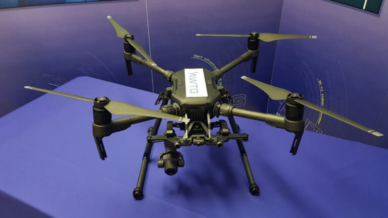
Championing England’s Heritage, Historic England has used drone acquired imagery since 2008 and has built up long experience of using such platforms alongside other means of capturing low-level aerial imagery of includes buildings, battlefields, monuments, parks, gardens, shipwrecks and more.
The imagery and data captured has been used across multiple applications including monitoring, presentation, interpretative display, multimedia journalism, surveying, mapping and recording.
“I’m delighted to be part of the COPTRZ Drone Demo Day 2020. I’ll be running through the Geospatial survey projects we’ve undertaken since acquiring our four DJI drones from COPTRZ last year, alongside a mention of the other archaeological and photographic applications that other Historic England teams are now using them for.
I’ll be sharing the successes, trials and tribulations of using drones in a variety of different surveying applications for Historic England, so you can get a better idea of the best solution for your business.” – Gary Young, Geospatial Analyst – Historic England
REGISTER NOW
Find out more about using drones for remote sensing and surveying, including Historic England Aerial Investigation and Mapping Standards Technical Review here.
Want more advice? Register to attend our demo day and speak to Gary in person at: https://coptrz.com/drone-demonstration-2020/
Or discuss a bespoke drone solution in a one-to-one consultation with a COPTRZ UAV Strategist at: https://coptrz.com/complete-drone-solution/
Download Our FREE RPC-L1 Guide
Understand everything you need to know about moving towards commercial drone operations with our RPC-L1 guide.
- Understand what RPC-L1 is and who it is for
- Learn how the CAA transition impacts operators and training routes
- Get a clear breakdown of requirements, costs and next steps


Related Posts

Drones Save Lives: At Least 65 People Saved Last Year
According to recent reports, at least 65 people were rescued thanks to drones last year. DJI’s report was collected from a number of news outlets and public safety agencies and includes 27 separate incidents across five continents. According to DJI reports, at least 124 people worldwide have been rescued. This is an impressive statistic. It […]
Top 5 Commercial Drone Use Cases
Drones have come a long way in the past five years or so. Once seen as a toy for the wealthy, today UAVs have the power to reinvent old businesses and create new ones. Whether it’s providing news coverage, helping the emergency services or inspecting sewage systems, drones are doing some pretty amazing things today. […]
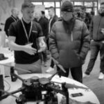
In Photos; Drone Demo Day 2020
Earlier this month, we hosted our regular drone drone demo event in Dunchurch, Rugby. The UK’s only multi-manufacturer and multi-vertical drone demo in the country it was an unrivalled event to view the future of the drone industry and hear insights from industry professionals. Asif Gillani and Chris Roberts were present to display the new […]


