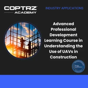
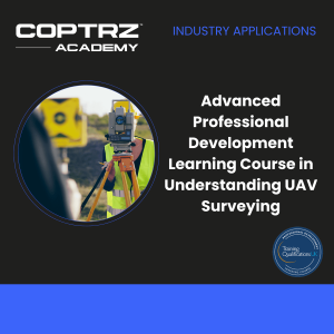
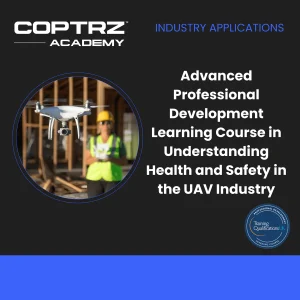
Advanced Professional Development Learning Course in Understanding UAV Surveying
Gain a comprehensive understanding of photogrammetry and its applications in UAV surveying with our Advanced Professional Development Learning Course in Understanding UAV Surveying. This masterclass equips you with the skills and knowledge needed to conduct accurate and efficient UAV surveys using photogrammetry techniques.

12,000+ pilots trained
8 locations across UK
300+ courses
Welcome to
Coptrz Academy
Lorem ipsum dolor sit amet, consetetur sadipscing elitr, sed diam nonumy eirmod tempor invidunt ut labore et dolore magna aliquyam erat, sed diam voluptua.
Lorem ipsum dolor sit amet, consetetur sadipscing elitr, sed diam nonumy eirmod tempor invidunt ut labore et dolore magna aliquyam erat, sed diam voluptua. At vero eos et accusam et justo duo dolores et ea rebum. Stet clita kasd gubergren, no sea takimata sanctus est Lorem

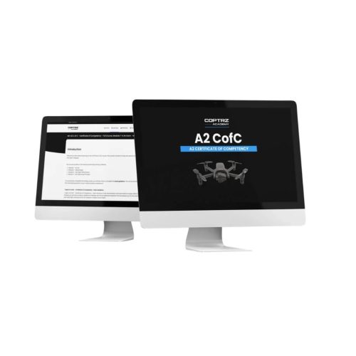
A2CofC Training Course
GVC Drone Training Course
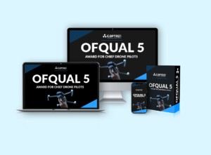
OFQUAL Level 5 Chief Pilots Training Course
Courses


Which drone license
do you need?

A2 Certificate of Competency (A2CofC)
Lorem ipsum dolor sit amet, consetetur sadipscing elitr, sed diam nonumy eirmod tempor invidunt ut labore et dolore magna aliquyam erat, sed diam voluptua. At vero eos et accusam et justo duo dolores et ea rebum. Stet clita kasd gubergren, no sea takimata sanctus est Lorem ipsum dolor sit amet. Lorem ipsum dolor sit amet, consetetur sadipscing elitr, sed diam nonumy eirmod tempor
General Visual Line of Sight (GVC)
Lorem ipsum dolor sit amet, consetetur sadipscing elitr, sed diam nonumy eirmod tempor invidunt ut labore et dolore magna aliquyam erat, sed diam voluptua. At vero eos et accusam et justo duo dolores et ea rebum. Stet clita kasd gubergren, no sea takimata sanctus est Lorem ipsum dolor sit amet. Lorem ipsum dolor sit amet, consetetur sadipscing elitr, sed diam nonumy eirmod tempor
PfCO to GVC Conversion Course
Lorem ipsum dolor sit amet, consetetur sadipscing elitr, sed diam nonumy eirmod tempor invidunt ut labore et dolore magna aliquyam erat, sed diam voluptua. At vero eos et accusam et justo duo dolores et ea rebum. Stet clita kasd gubergren, no sea takimata sanctus est Lorem ipsum dolor sit amet. Lorem ipsum dolor sit amet, consetetur sadipscing elitr, sed diam nonumy eirmod tempor
Download our FREE Drone Regulations Guide
This guide details UK drone regulations, including operation types, risk levels, and performance requirements. Learn about obtaining certifications like the A2 Certificate of Competency and the General Visual Line of Sight Certificate (GVC).

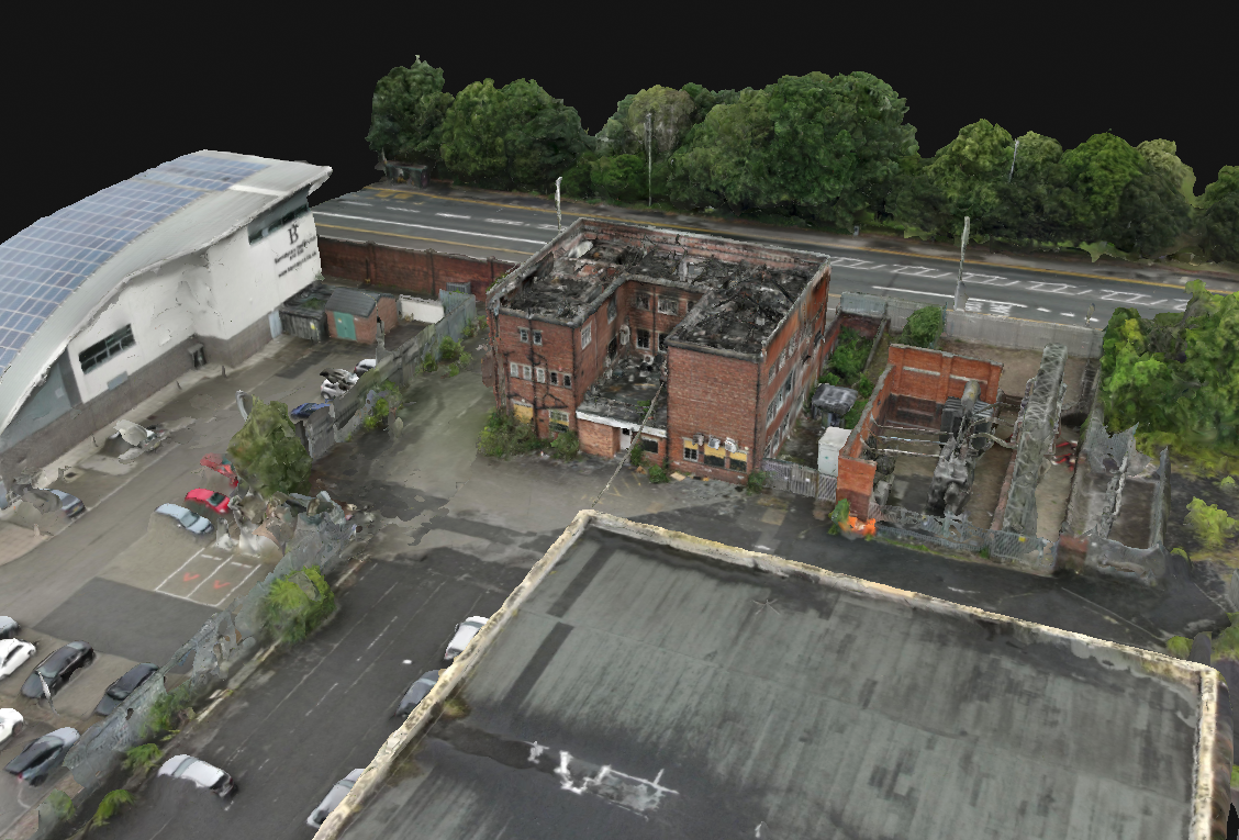
Texo were contracted by Mace Group to complete a glass and facade inspection of the Leadenhall Building in London.

Enhancing firefighter safety and situational awareness with drone technology

Why choose Coptrz academy?
Cloud Based
Elevate Your Learning Experience: Access your courses anytime, anywhere with our secure and flexible cloud-based platform.
Dashboards
Empower Your Team: Monitor progress, track performance, and manage your team efficiently with our intuitive employee dashboards.
AI Enhanced
Unlock Your Potential: Leverage the power of Artificial Intelligence to optimize your learning experience and achieve your goals faster.
Course Library
Access a wide range of courses across multiple disciplines to expand your knowledge and skills.
Curriculum
Our curriculum is constantly updated to reflect the latest trends, tools, and best practices in the industry.
Resources
Resources are included for a comprehensive learning experience.
Why Take The Course?
Show Your Expertise
Master photogrammetry and UAV surveying, positioning yourself as an expert in this advanced field.

Competitive Advantage
Enhance your surveying skills to provide precise and efficient UAV surveys, giving you an edge in the competitive surveying industry.

Build Confidence
Develop the confidence to execute UAV surveys effectively, ensuring high-quality data collection and analysis
Buy Advanced Professional Development Learning Course in Understanding UAV Surveying
Course Format
Module 1: Introduction
- What is Photogrammetry?
- Understand the basics and significance of photogrammetry.
- Applications
- Explore various applications of photogrammetry in UAV surveying.
Module 2: Photogrammetry Theory
- Introduction & Definitions
- Learn the key concepts and definitions in photogrammetry.
- Coordinate Systems
- Understand different coordinate systems used in surveying.
- Photogrammetry Principles
- Master the fundamental principles of photogrammetry.
- Knowledge Check
Module 3: Photography Principles in Photogrammetric Surveys
- Introduction
- Overview of photography principles relevant to photogrammetry.
- Digital Camera Components
- Understand the components of digital cameras used in surveys.
- Principles
- Learn the essential principles of photography for accurate surveys.
- Troubleshooting
- Gain troubleshooting skills for common issues.
- Knowledge Check
Module 4: Controlling a Survey
- Introduction
- Learn how to control a photogrammetric survey.
- Ways to Control a Survey
- Explore different methods for survey control.
- Knowledge Check
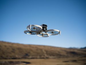
Module 5: Photo Capture
- Capture Variables
- Understand the variables affecting photo capture.
- Capture Technique
- Learn the best techniques for capturing survey photos.
- Practical Limitations
- Recognise practical limitations and how to overcome them.
- Knowledge Check
Module 6: Processing
- Introduction
- Overview of data processing in photogrammetry.
- Data Preparation
- Learn how to prepare data for processing.
- Processing Workflow
- Master the workflow for efficient data processing.
- Software Options
- Explore different software options for processing data.
- Knowledge Check
Module 7: Data Extraction
- Introduction
- Introduction to data extraction techniques.
- Data Structures
- Understand various data structures used in photogrammetry.
- Photography Outputs
- Learn about different photographic outputs.
- Software
- Explore software tools for data extraction.
- Data Outputs
- Understand the different data outputs in photogrammetry.
- Knowledge Check
Module 8: Data Accuracy
- Introduction
- Overview of data accuracy in photogrammetry.
- Accuracy
- Learn techniques to ensure data accuracy.
- Data Extraction
- Understand the process of extracting accurate data.
- Knowledge Check
Module 9: Quality Assurance
- Introduction
- Learn the stages of implementing quality assurance.
- Implementation Stages
- Master the steps involved in quality assurance.
- Knowledge Check
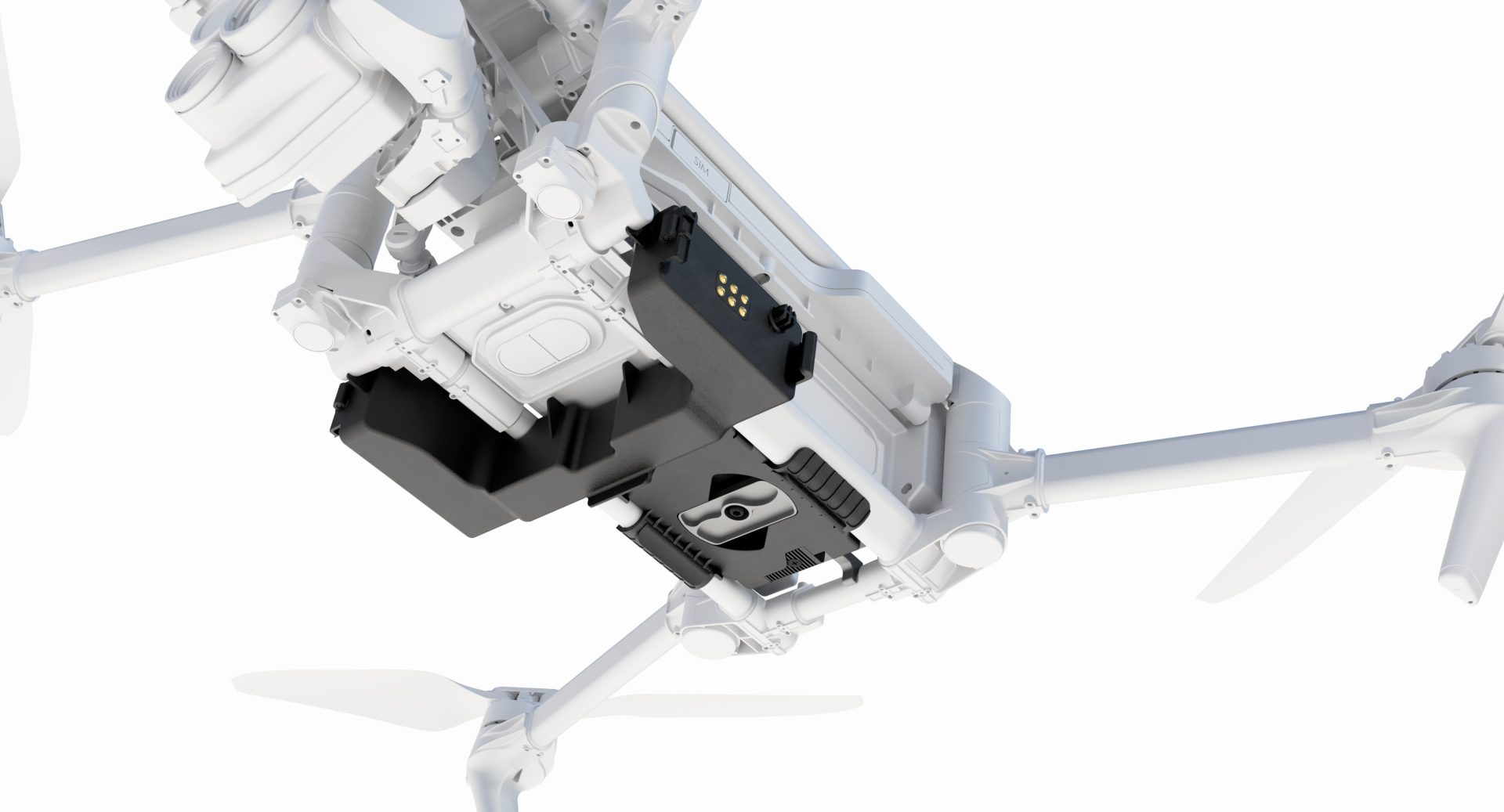
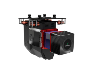
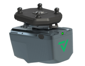
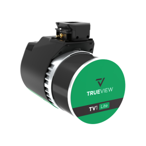
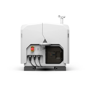
Module 10: Equipment
- Introduction
- Overview of the equipment used in UAV surveying.
- Safety
- Understand the safety considerations for UAV equipment.
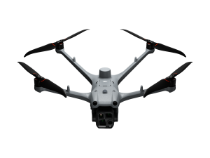
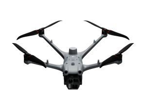
- UA Platform
- Learn about different UAV platforms.
- Payload
- Understand payload considerations for UAVs.
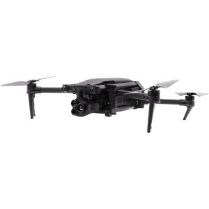
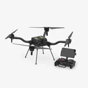
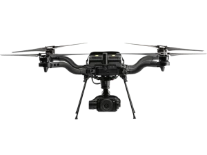
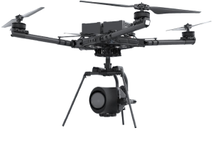
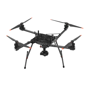
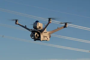
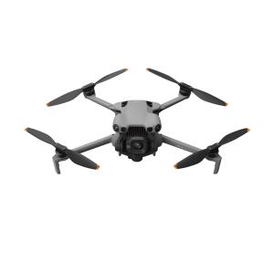
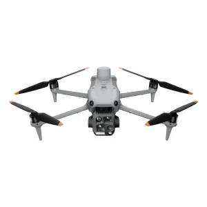
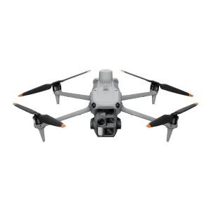
- Coptrz Recommended Drones
- Explore the drones recommended by Coptrz for surveying.
Module 11: Topographical & Mapping Surveying
- Introduction
- Introduction to topographical and mapping surveying.
- Install Control
- Learn how to install control for surveys.
- Take-off Locations
- Identify optimal take-off locations.
- Waypoint Planning
- Master the planning of waypoints for efficient surveys.
Module 12: 3D BIM Surveying
- Introduction
- Introduction to 3D BIM surveying techniques.
- Installing Control
- Learn how to install control for 3D BIM surveys.
- Oblique Photo Capture
- Master oblique photo capture techniques.
- Survey Decomposition
- Understand survey decomposition strategies.
- Capture Strategies
- Learn different capture strategies for 3D BIM.
- Segment Strategy
- Explore segment strategies for detailed surveys.
- Roof Obliques
- Understand roof oblique capture techniques.
- Terrestrial Photo Capture
- Master terrestrial photo capture.
- Additional Data Capture
- Learn about capturing additional data.
- Processing Demonstration
- Watch a demonstration of data processing for 3D BIM.
Module 13: Final Steps
- Next Steps
- Guidance on the next steps after completing the course.
End of Course Exam
Assess your understanding and application of the course material through a final exam, earning a certification that validates your expertise in UAV surveying using photogrammetry.
Duration: 7 hours
Learn Anywhere, Anytime
Our course is delivered through an industry-leading online learning platform, allowing you to learn at your own pace. No need to take time out of your busy schedule for live classes; enjoy the flexibility of e-learning with Coptrz Academy.


Beyond Drone Training
Enrol in the Advanced Professional Development Learning Course in Understanding UAV Surveying and gain free access to the Coptrz Academy eLearning platform. Access over 300+ online courses covering Project Management, Finance, Leadership, Commercial Skills, People and Culture, Customer Excellence, and Data.
Enrol in the Advanced Professional Development Learning Course in Understanding UAV Surveying to advance your career and excel in the field of UAV photogrammetry and surveying.