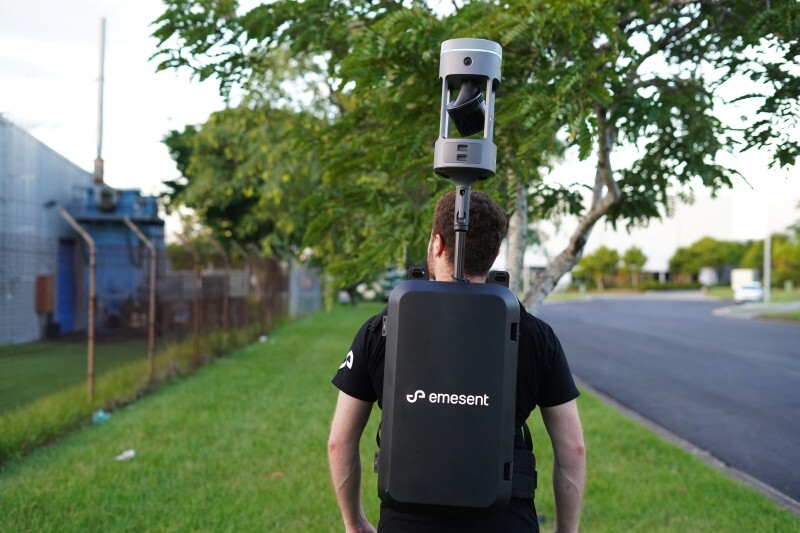
DJI
DJI Enterprise is a global leader in developing and manufacturing commercial drones. Explore their reliable, high-performance solutions with us, your certified DJI Partner.
Leading Innovators In The Drone Industry
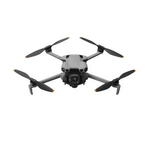
DJI has redefined the drone industry with cutting-edge innovations and an unparalleled commitment to quality. From commercial to recreational use, DJI's range of drones meets diverse needs across various sectors.

Unmatched Performance
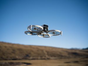
DJI's drones are designed to push the boundaries of aerial technology, offering unparalleled performance and versatility. Whether you are a professional filmmaker, a surveyor, researcher, or a hobbyist, DJI has a drone to match your needs. With features like advanced obstacle sensing, extended flight times, and high-definition cameras, you can capture stunning footage or detailed data to boost your efficiency at work. Each drone is equipped with intuitive controls and intelligent flight modes, making it easy to achieve professional-grade results effortlessly.
Innovation That Inspires
DJI's commitment to innovation is evident in every product they release. Their focus on research and development has led to cutting-edge advancements in drone technology, with each new model offering improvements in flight time, camera quality, and user experience. DJI's dedication to quality and affordability makes them a standout manufacturer in the industry.

Core Industries

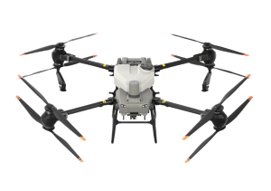
Agriculture & Forestry
Asset Integrity & Inspection

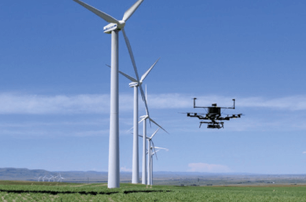
Energy & Renewables

Public Safety

Security