Photogrammetry
-

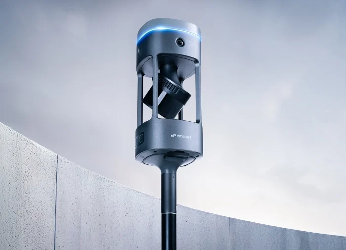
DJI Modify
Price range: £225.00 through £3,109.00 Excl. VATDJI Terra is a software solution specialising in 3D model reconstruction, with photogrammetry at its heart. It facilitates precise and swift 2D and 3D reconstruction using visible light data, as well as data processing via DJI LiDAR technology. Seamlessly compatible with DJI Enterprise drones and their payloads, DJI Terra integrates to form a comprehensive application system. This system serves a variety of sectors, including land surveying, mapping, power transmission, emergency response, construction, transport, and agriculture.
-

DJI Terra
£917.50 Excl. VATDJI Terra is a software solution specialising in 3D model reconstruction, with photogrammetry at its heart. It facilitates precise and swift 2D and 3D reconstruction using visible light data, as well as data processing via DJI LiDAR technology. Seamlessly compatible with DJI Enterprise drones and their payloads, DJI Terra integrates to form a comprehensive application system. This system serves a variety of sectors, including land surveying, mapping, power transmission, emergency response, construction, transport, and agriculture.
-

Flyability Asset Management Software
Building on previous asset maps captured with Elios 3, the Asset Management extension automatically merges newly acquired data with existing results in real time, offering a holistic view of your asset data in a single frame of reference
-

Pix4Dmatic
Price range: £0.00 through £5,831.86 Excl. VATTransform your large-scale mapping operations with Pix4Dmatic, the next-generation photogrammetry software designed for efficiency and accuracy. Built to handle the vast data sets generated by modern aerial imagery, Pix4Dmatic ensures that professionals can leverage the full potential of their hardware, turning high-resolution images into precise, georeferenced 2D maps and 3D models.
-
Ultimate Pix4DMapper Bundle
Price range: £0.00 through £5,831.86 Excl. VATTransform your large-scale mapping operations with Pix4Dmatic, the next-generation photogrammetry software designed for efficiency and accuracy. Built to handle the vast data sets generated by modern aerial imagery, Pix4Dmatic ensures that professionals can leverage the full potential of their hardware, turning high-resolution images into precise, georeferenced 2D maps and 3D models.