Emesent Hovermap
Download the Hovermap Accuracy Report
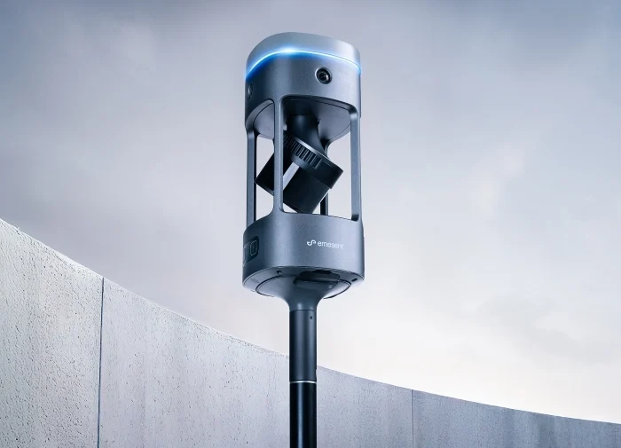
Advanced LiDAR Sensing
Autonomous Data Capture
Versatile Application
Ultimate Dual Vision Solution
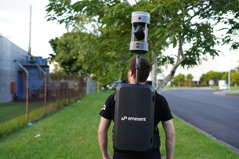
The Emesent Hovermap utilises cutting-edge LiDAR technology to deliver high-quality point clouds with outstanding coverage. With a sensing capability extending up to 300 metres and a capture rate exceeding one million points per second, Hovermap significantly speeds up the data collection process, providing rapid and precise insights. Use Hovermap as a handheld scanner, attached to a drone, vehicle, or pole, lowered in a cage, or mounted to a backpack to easily collect data anywhere.

Advanced LiDAR Sensing
Hovermap's LiDAR technology enables dense and high-quality point cloud generation, covering extensive areas quickly and accurately.

Autonomous Data Capture
With various autonomy modes including pilot assist and beyond line of sight, Hovermap can navigate and map complex environments independently, ensuring comprehensive data collection even in GPS-denied areas.

Versatile Application
The plug-and-play design of Hovermap allows it to be used as a handheld scanner, attached to a drone, vehicle, or pole, or even carried in a backpack, making it adaptable for diverse mapping needs.
Commercial Uses

Surveying & Construction
Asset Integrity & Inspection

Oil & Gas

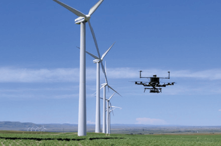
Energy & Renewables

Faster Insights
Hovermap's ability to capture over a million points per second enables detailed and precise data collection, enhancing efficiency and reducing time to insight.

Survey-Grade Accuracy
The integrated Wildcat SLAM solution, combined with Automated Ground Control Points and high-resolution LiDAR sensors, provides sub-centimetre accuracy, ensuring precise measurements and detailed point clouds.

Unmatched Versatility
Hovermap's design supports multiple configurations, allowing seamless transition between different modes of operation, whether airborne, terrestrial, or handheld.

Immaculate Detail
Capture high-density data sets with shadow-free, detailed point clouds. The ability to add colourization further enhances the realism and detail of the captured data.

Environmental Durability
Built for harsh environments, Hovermap features an IP65 weather-sealed design, ensuring reliable performance in various conditions. It operates efficiently in both indoor and outdoor settings, making it ideal for challenging and complex terrains.
Buy Emesent Hovermap
FAQs
Emesent Hovermap is an advanced 3D LiDAR mapping and autonomous data capture system that provides high-quality point clouds and versatile application modes.
Advanced LiDAR sensing, autonomous data capture, and versatile application options including use as a handheld scanner or attachment to drones, vehicles, and more.
Hovermap utilises LiDAR technology with a sensing capability up to 300 metres and a capture rate exceeding one million points per second.
Yes, Hovermap's autonomous data capture modes allow it to navigate and map complex environments without GPS.
Hovermap is ideal for surveying, construction, mining, forestry management, infrastructure inspection, utilities, oil & gas, public safety, environmental monitoring, archaeology, urban planning, agriculture, and asset integrity inspection.
It can be used as a handheld scanner, attached to a drone, vehicle, or pole, lowered in a cage, or mounted to a backpack.
Hovermap features an IP65 weather-sealed design, making it suitable for harsh conditions and reliable in both indoor and outdoor environments.
Hovermap integrates Wildcat SLAM, Automated Ground Control Points, and high-resolution LiDAR sensors to provide sub-centimetre accuracy in its data collection.
Drones

Related Training


Software


Related products
-

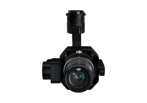
DJI Zenmuse P1

LiDAR Snoopy A-Series
Sky Hero LED Light Distraction System

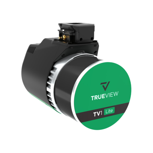
TV1 Lite
Related Guides

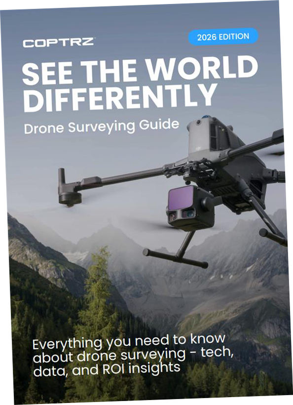
Drones for Surveying Guide – Download

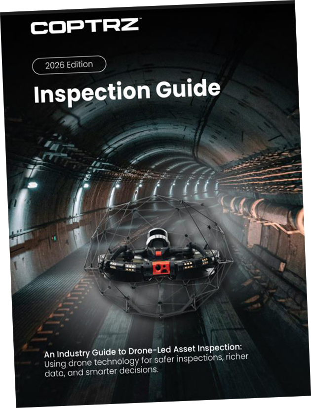
Drones for Inspection – Guide Download

Survey Success Secrets – Guide Download


Latest From Coptrz
 28th July
How Mobile Mapping Can Improve Scan-to-BIM and Measured Building Surveys
 23rd July
Emesent GX1 vs Traditional Laser Scanning: Speed, Accuracy and Workflow
 NEW
NEWDJI Matrice 400

Become a Drone Pilot
Unlock your business potential with drone technology