
Drone Training
The UK’s leading CAA drone training provider. Be the best drone operator in your industry and get the qualifications, tools and continual development you need.

Test from anywhere
Studying from anywhere across the UK, we have the largest number of flight test centres across the UK. We also offer online courses.

OFQUAL accredited
Ensure you get the highest quality training through our OFQUAL accredited courses.

Trained by the best
We are the most prestigious drone training academy in the UK, with companies like the BBC and Balfour Beatty choosing to train their pilots with us.

ELCAS Approved
Use your ELCAS credits towards drone courses; we’re the only drone training provider approved by ELCAS.
Drone Training
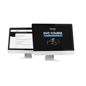
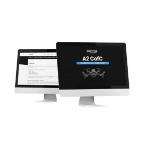
Download our FREE Drone Regulations Guide
This guide details UK drone regulations, including operation types, risk levels, and performance requirements. Learn about obtaining certifications like the A2 Certificate of Competency and the General Visual Line of Sight Certificate (GVC).

Why choose Coptrz academy?
Cloud Based
Elevate Your Learning Experience: Access your courses anytime, anywhere with our secure and flexible cloud-based platform.
Dashboards
Empower Your Team: Monitor progress, track performance, and manage your team efficiently with our intuitive employee dashboards.
AI Enhanced
Unlock Your Potential: Leverage the power of Artificial Intelligence to optimize your learning experience and achieve your goals faster.
Course Library
Access a wide range of courses across multiple disciplines to expand your knowledge and skills.
Curriculum
Our curriculum is constantly updated to reflect the latest trends, tools, and best practices in the industry.
Resources
Resources are included for a comprehensive learning experience.


Latest From Coptrz
How Mobile Mapping Can Improve Scan-to-BIM and Measured Building Surveys
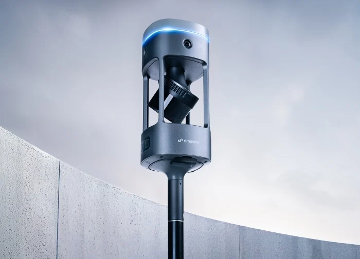
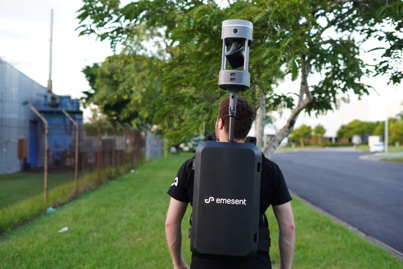
Emesent GX1 vs Traditional Laser Scanning: Speed, Accuracy and Workflow

DJI Matrice 400

