Survey
-

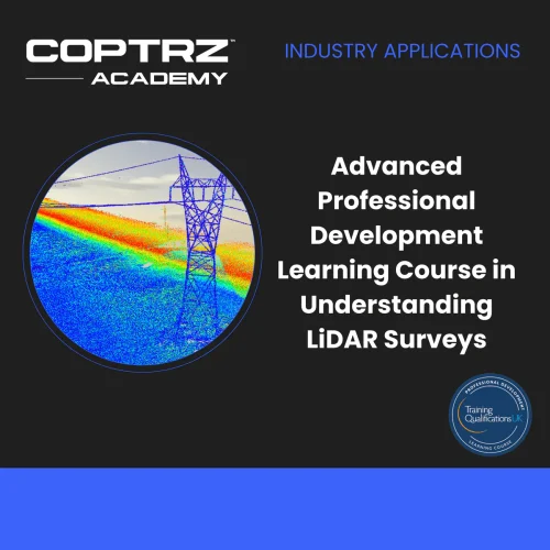
Advanced Professional Development Learning Course in Understanding LiDAR Surveys
£247.00 Excl. VATThe course "Advanced Professional Development Learning Course in Understanding LiDAR Surveys" provides a comprehensive introduction to LiDAR technology and its applications in UAV surveys. Participants learn about the principles and uses of LiDAR, compare it with photogrammetry, explore recommended UAVs and payloads, and examine real-world applications in inspection, construction, public safety, mining, cultural heritage, environment, and urban planning. The course includes case studies of road tunnel inspection and Conisbrough Viaduct. Through a summary module, an end-of-course exam, and guidance for next steps, participants gain a solid foundation in UAV LiDAR surveys and its practical implementation.
-

Pix4Dsurvey
Price range: £0.00 through £3,973.45 Excl. VATUnlock the full potential of your surveying and mapping projects with Pix4Dsurvey. Designed to bridge the gap between drone photogrammetry and traditional surveying, this powerful software transforms your point cloud data into actionable insights and detailed digital maps.