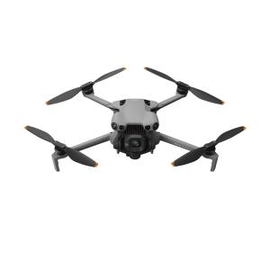
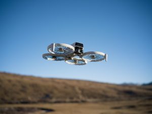
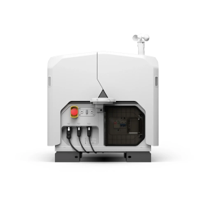
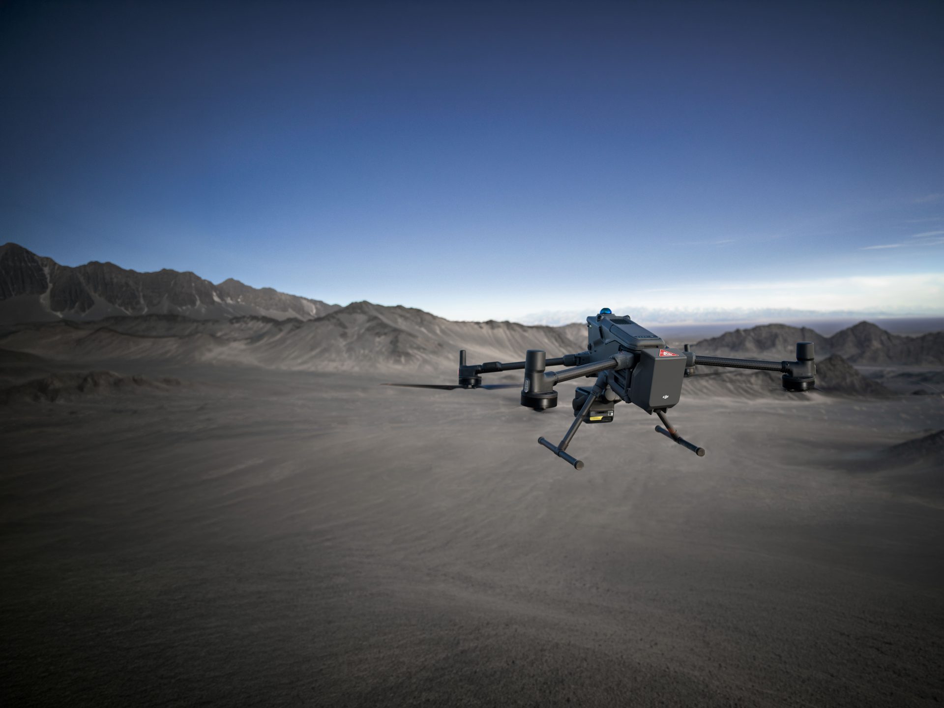
DJI Zenmuse P1
Efficiency through Flexible Full-frame Photogrammetry
The New Benchmark for Aerial Surveying
Zenmuse P1
The Zenmuse P1 integrates a full-frame sensor with interchangeable fixed-focus lenses on a 3-axis stabilized gimbal.
Designed for photogrammetry flight missions, it takes efficiency and accuracy to a whole new level.
-
-
✔ 45 MP Full-frame Sensor
-
✔ Accuracy without GCPs: 3 cm horizontally / 5 cm vertically
-
✔ Compatible with the DJI M300 RTK
-
✔ Supports 24/35/50mm lenses with DJI DL mounts
-
POWERFUL & AFFORDABLE
Suitable Applications
Critical Asset Inspection
Revolutionise the inspection of critical assets, increase safety during maintenance and increase operational uptime. The Zenmuse P1 and Matrice 300 provides a complete and versatile solution.
AEC Surveying
Effortlessly acquire oblique images from multiple angles that meet 3D modeling requirements across industries such as urban planning and centimeter-level accurate cadastral surveys to serve 3D reality models and smart city planning.
Geological Investigation
Acquire ultra-high resolution image data of vertical or slanted surfaces from a safe distance that faithfully recreates fine textures, structures, and features, for detailed reconstructions, geological surveys, heritage site conservation, hydraulic engineering, and more.
Efficiency to Cover It All
Full-frame Camera
– 45MP Full-frame Sensor
– 4.4μm Pixel Size
– Low-noise, high sensitivity imaging extends daily operational time
– Take a photo every 0.7 s during the flight
– TimeSync 2.0 aligns the camera, flight controller, RTK module, and gimbal at the microsecond level
Get the Full Technical Specifications below.
Resource Library
Collect Exceptional Images.
Do you want to maximise your operational efficiency? Saving time, manpower and increasing safety. With the Zenmuse P1’s easy integration and setup, you’ll be collecting industry leading aerial images in under 5 minutes.
Experience the potential of the Zenmuse P1 in a 3D mesh map.
POWERFUL FEATURES
- ✔ Cover 7.5 km2 [4] in a single workday with the P1. Elevate the efficiency of your oblique photography mission using Smart Oblique Capture, where the gimbal automatically rotates to take photos at the different angles needed.
- 2
- ✔ Only photos essential to the reconstruction will be taken at the edge of the flight area, increasing the efficiency of post processing by 20% to 50%.
- 2
- ✔ Verify data quality immediately post-flight by checking the position data and number of the images acquired, as well as RTK status and positioning accuracy.
Matrice 300 RTK
The DJI Zenmuse P1 was designed to integrate seamlessly with the Matrice 300 RTK, boasting flight time over 45 minutes and transmission ranges of over 15km, this is a powerful and versatile solution.
- ✔ IP45 protection against water and dust ingress
- ✔ 6 sensors provide omnidirectional awareness
- ✔ waypoints 2.0 for easy mission repeatability
- ✔ Multiple Payload configurations to suit any mission
- ✔ 15 m/s wind resistance to even the toughest of conditions
Related Products
FAQ's
OUR INDUSTRY EXPERTS ARE READY TO HELP YOU
-
Which types of APP control does the aerial survey solution of the M300 RTK and the P1 support?
-
Does the M300 RTK support PPK post-processing when used with the P1?
-
What's the tilt angle range of the camera during the Smart Oblique Capture of the P1?
-
Which lenses does the P1 support?
-
What's the single pixel size of the P1?
-
What's the resolution of the photos taken by the P1?
-
LiDAR Versus Photogrammetry: What's Best?
-
What Do I need to look for in a photogrammetry drone?
-
How are Drones used in Surveying?