3D drone mapping
-

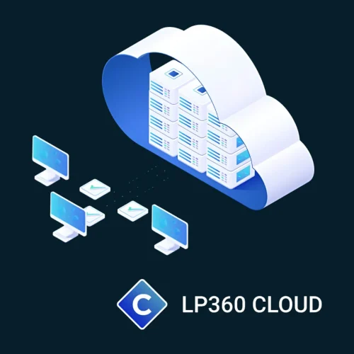
LP360 Cloud
Extend the processing power of LP360 desktop with LP360 Cloud and its ever-growing collection of cloud-based tools and resources that will make it easy for you to manage, archive, share and collaborate on geospatial projects.
-

Pix4Dmapper
Price range: £0.00 through £4,150.44 Excl. VATElevate your mapping to the next level with Pix4Dmapper, the industry's premier photogrammetry software. Designed for professionals who demand precision, Pix4Dmapper turns your images into highly accurate 3D models and maps. Whether you're surveying, constructing, or farming, this software provides the tools you need to capture reality and transform it into actionable data.
-
Trendspek
Trendspek is a revolutionary 3D software, transforming digital inspections and asset management with unparalleled precision and interactive reporting. Trendspek connects asset owners, operators and engineers, through a simple to use online platform. Form opinions, make decisions and reach outcomes faster by collaborating on a single source of truth.
- Plan induction training
- Locate and identify defects and hazards
- Track defects and build maintenance plans
- Grant access to contractors and tenderers to accurately plan their scope of works
- Design shutdown plans including logistics and site access mapping