
Latest from Coptrz
Stay updated with the latest insights, tips, and industry news on our blog. Discover expert advice, success stories, and innovative uses of drone technology. Our blog features a diverse range of topics to keep you informed and inspired.
Latest Articles

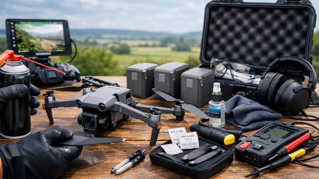
The Hidden Cost of Poor DJI Drone Maintenance (And How to Avoid It)
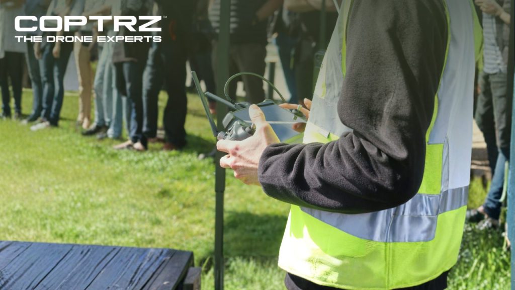
Owning a DJI drone is a significant investment, especially for commercial operators who rely on these aircraft day in, day out. With replacement costs rising and product availability increasingly uncertain, it makes commercial and operational sense to extract the maximum possible lifespan from your existing aircraft. At Coptrz, we maintain and support DJI fleets for […]
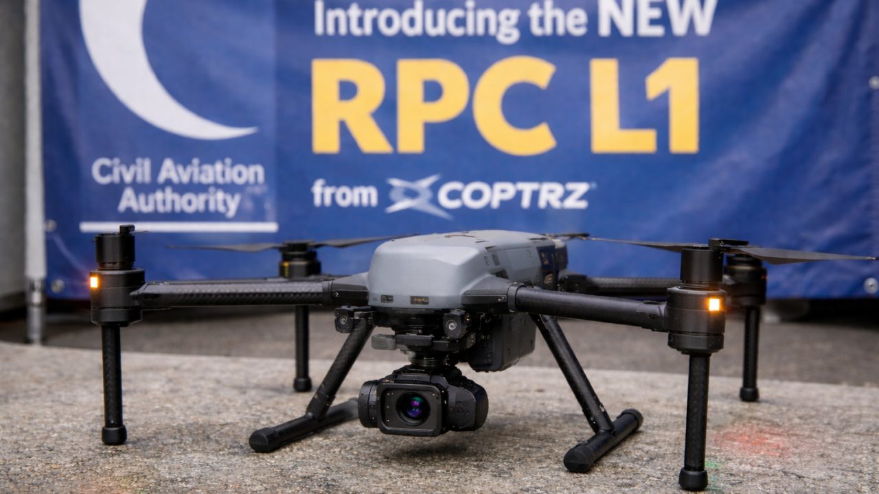
The New CAA RPC-L1 Drone Certification: Future‑Proof Your Drone Operations with Coptrz
What is the RPC-L1 (Level 1 Remote Pilot Certificate)? The Level 1 Remote Pilot Certificate (RPC-L1) is the UK Civil Aviation Authority’s new baseline certification for drone pilots operating in the Specific Category. Introduced in 2025, this certificate aligns with the modern UK SORA risk assessment framework which replaces the old “OSC” process for advanced […]
Military Drone Reconnaissance: Tactical Applications in 2025
At the heart of the evolution of modern warfare and defence strategy lies the growing role of military drone reconnaissance. Military reconnaissance drones often referred to as Intelligence, Surveillance, and Reconnaissance (ISR) drones are specifically engineered to meet the exacting standards of the armed forces. These platforms integrate imaging sensors, long-endurance flight capabilities, and secure […]
All Posts
The Hidden Cost of Poor DJI Drone Maintenance (And How to Avoid It)
Owning a DJI drone is a significant investment, especially for commercial operators who rely on these aircraft day in, day out. With replacement costs rising and product availability increasingly uncertain, it makes commercial and operational sense to extract the maximum possible lifespan from your existing aircraft. At Coptrz, we maintain and support DJI fleets for […]

The New CAA RPC-L1 Drone Certification: Future‑Proof Your Drone Operations with Coptrz
What is the RPC-L1 (Level 1 Remote Pilot Certificate)? The Level 1 Remote Pilot Certificate (RPC-L1) is the UK Civil Aviation Authority’s new baseline certification for drone pilots operating in the Specific Category. Introduced in 2025, this certificate aligns with the modern UK SORA risk assessment framework which replaces the old “OSC” process for advanced […]
Military Drone Reconnaissance: Tactical Applications in 2025
At the heart of the evolution of modern warfare and defence strategy lies the growing role of military drone reconnaissance. Military reconnaissance drones often referred to as Intelligence, Surveillance, and Reconnaissance (ISR) drones are specifically engineered to meet the exacting standards of the armed forces. These platforms integrate imaging sensors, long-endurance flight capabilities, and secure […]

How Will Drones Disrupt Urban Last-Mile Delivery in 2026?
Across the world, smart cities are integrating drones into the fabric of their transport and logistics systems. Their speed and ability to bypass poor or congested road infrastructure make them ideal for time-sensitive, short-distance deliveries. In logistics, the first mile marks the journey’s starting point, where goods are collected directly from manufacturers or suppliers and […]
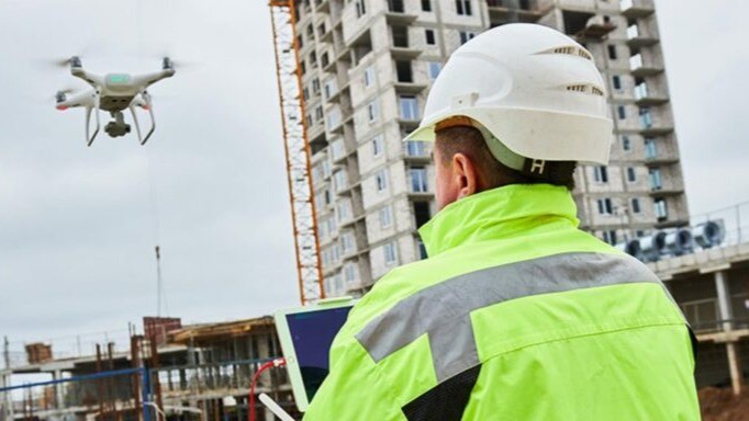
Why Every Construction CEO Should Have a Drone Strategy in 2025
Drones are a big part of the construction industry’s digital transition, which is happening right now. According to Research and Markets, the global construction drone market is projected to grow to £9.99 billion by 2029, achieving a compound annual growth rate (CAGR) of 14.1%. This strong growth highlights how drones are steadily becoming essential tools […]
A2 CofC in 2026: Greater Freedom for Qualified Drone Pilots
From 1 January 2026, the UK Civil Aviation Authority (CAA) will implement significant regulatory changes to the Open Category, including new class markings and the integration of Remote ID requirements. For holders of the A2 Certificate of Competency (A2 CofC), these changes are particularly positive offering expanded operational privileges without the need for additional training […]
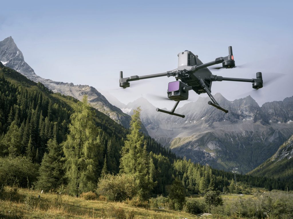
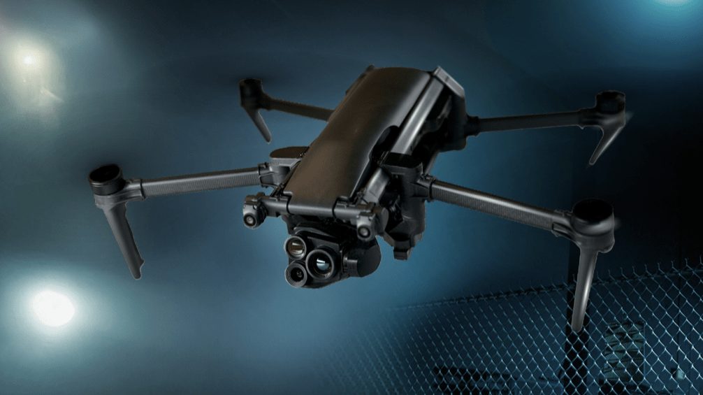
DJI Zenmuse L3 vs L2: See Through Far and True
See through far and true.That’s the promise behind DJI’s latest LiDAR payload — the Zenmuse L3. As the successor to the proven Zenmuse L2, this new generation builds on DJI’s reputation for precision mapping and effortless integration with enterprise workflows. Designed for surveying, construction, forestry, and infrastructure inspection, the L3 combines a next-generation laser sensor, […]
DJI Matrice 400 vs DJI Matrice 350: Revolutionising Drone Operations with Advanced Performance and Efficiency
DJI has once again set the bar higher in enterprise drone technology with the launch of its latest flagship model—the DJI Matrice 400. This powerful platform succeeds the robust Matrice 350 RTK, offering notable advancements across multiple performance metrics, particularly designed to elevate efficiency, reliability, and productivity in commercial drone operations. Key Enhancements of DJI […]

Introducing the DJI Matrice 400: The Future of Industrial Drone Operations
The DJI Matrice 400 (M400) is DJI’s most powerful enterprise drone platform to date, representing a significant leap forward in flight performance, payload flexibility, automation, and AI-assisted workflows. Engineered for demanding operations across public safety, inspection, infrastructure, and surveying, the M400 redefines the boundaries of what drones can achieve. Built for Mission-Critical Operations Whether you’re […]

Revolutionising Mapping: Emesent’s Backpack RTK – The Ultimate LiDAR Scanner for Unmatched Precision and Versatility
Overview Emesent‘s Backpack RTK, integrated with the Hovermap ST-X scanner, is designed for professionals needing high-performance LiDAR mapping. It combines real-time kinematics (RTK) and simultaneous localisation and mapping (SLAM) technologies, making it suitable for both indoor and outdoor use. This system is particularly noted for its speed, accuracy, and flexibility, which we’ll explore in detail. […]

Where Drones Are Saving the Most Money in 2025
In the UK today, drone adoption is delivering real ROI across industries. Recent reports show drone mapping can be hundreds of times faster than ground surveys, while swapping police helicopters for drones can cut costs ~55% (about £22.6m/yr saved). Whether it’s speeding land surveys or avoiding costly scaffolding and delays, drones are proving to be […]


