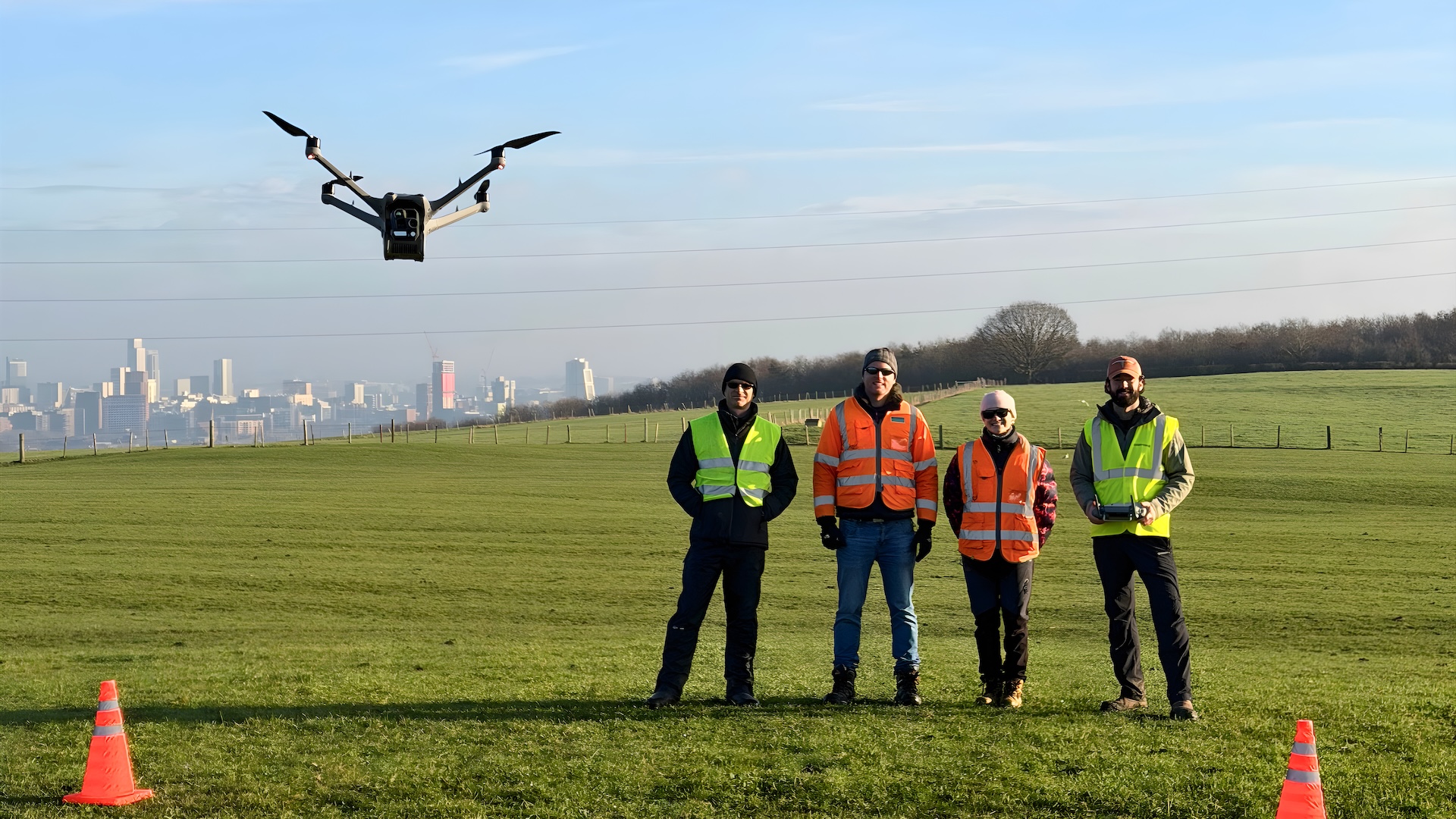
surveying
-

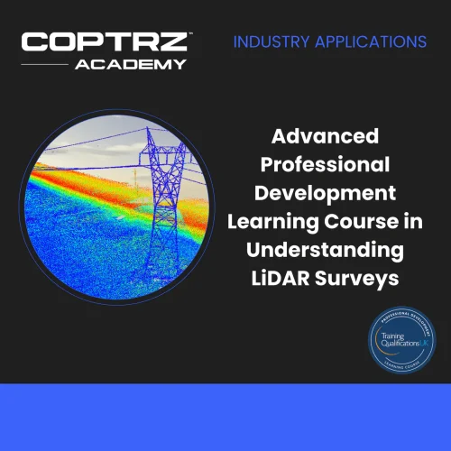
Advanced Professional Development Learning Course in Understanding LiDAR Surveys
£247.00 Excl. VATThe course "Advanced Professional Development Learning Course in Understanding LiDAR Surveys" provides a comprehensive introduction to LiDAR technology and its applications in UAV surveys. Participants learn about the principles and uses of LiDAR, compare it with photogrammetry, explore recommended UAVs and payloads, and examine real-world applications in inspection, construction, public safety, mining, cultural heritage, environment, and urban planning. The course includes case studies of road tunnel inspection and Conisbrough Viaduct. Through a summary module, an end-of-course exam, and guidance for next steps, participants gain a solid foundation in UAV LiDAR surveys and its practical implementation.
-
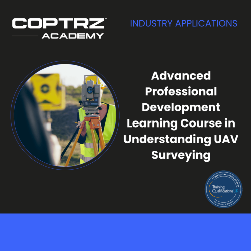
Advanced Professional Development Learning Course in Understanding UAV Surveying
£397.00 Excl. VATThe "Advanced Professional Development Learning Course in Understanding UAV Surveying" course provides a comprehensive understanding of photogrammetry and its applications in UAV surveying. The course covers the theory of photogrammetry, photography principles, survey control methods, data capture and processing workflows, data extraction techniques, accuracy assessment, quality assurance, equipment selection, and specific surveying techniques for topographical mapping and 3D BIM. Participants gain knowledge of software options, troubleshooting, and safety considerations. The course concludes with guidance on next steps. Overall, this masterclass equips participants with the skills and knowledge needed to conduct accurate and efficient UAV surveys using photogrammetry techniques.
Jonathan Wales from Costain attests to the course's value, stating, “Since 2018, Coptrz has been our exclusive training provider, teaching us survey-grade photogrammetry with drones. We’ve made Coptrz our one-stop-shop for all things UAV.”