drone mapping
-

Advanced Professional Development Learning Course in Understanding Multispectral UAVs
£247.00 Excl. VATLearners explore the benefits of multispectral imagery in various industries, learn mission planning techniques, examine real-world data examples, and gain insights into data processing methods. Additionally, they receive an overview of the DJI Multispectral drone and its capabilities. By the end of the course, participants will have the knowledge and skills to effectively utilise multispectral UAVs for data collection and analysis.
-
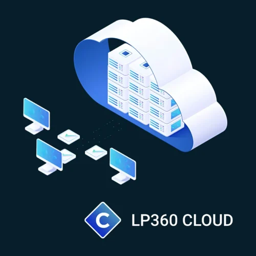
LP360 Cloud
Extend the processing power of LP360 desktop with LP360 Cloud and its ever-growing collection of cloud-based tools and resources that will make it easy for you to manage, archive, share and collaborate on geospatial projects.
-

Pix4Dmapper
Price range: £0.00 through £4,150.44 Excl. VATElevate your mapping to the next level with Pix4Dmapper, the industry's premier photogrammetry software. Designed for professionals who demand precision, Pix4Dmapper turns your images into highly accurate 3D models and maps. Whether you're surveying, constructing, or farming, this software provides the tools you need to capture reality and transform it into actionable data.
-
Pix4Dreact
Price range: £0.00 through £699.12 Excl. VAT -
Pix4Dsurvey
Price range: £0.00 through £3,973.45 Excl. VATUnlock the full potential of your surveying and mapping projects with Pix4Dsurvey. Designed to bridge the gap between drone photogrammetry and traditional surveying, this powerful software transforms your point cloud data into actionable insights and detailed digital maps.