Drone Training for Survey & Construction
Build operational confidence with industry-ready training
Unlock the full potential of drone technology with specialist training from Coptrz - designed specifically for professionals in surveying, construction, and infrastructure.
Our expert-led courses equip you with the skills to plan, fly, and process survey-grade missions using drones and advanced sensors like RTK, LiDAR, and photogrammetry. From regulatory certification to data capture best practices, our training ensures you're confident, compliant, and commercially ready.


Training options include:
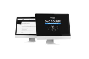
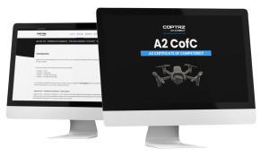
- GVC / A2 CofC – CAA-approved qualifications for legal drone operations
- Survey-Specific Flight Training – Focused on mapping accuracy, grid planning, and ground control workflows
- Photogrammetry & Data Processing – Learn to use software such as Pix4D, DJI Terra, and Aura
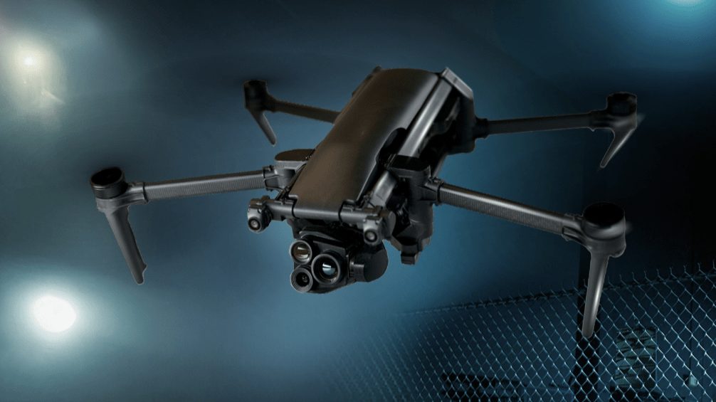
- LiDAR Data Capture & Analysis – Tailored to sensors like the DJI Zenmuse L2 or Hovermap ST-X
Whether you're just starting or scaling up, Coptrz offers the practical, hands-on training to help you maximise results and ensure safe, professional deployment on site.
Advanced Drone Training
for Surveying & Construction