When evaluating drone mapping software, Pix4D, DroneDeploy, and DJI Terra each offer distinct advantages tailored to specific operational needs. Here’s a strategic breakdown to guide informed decision-making:
Pix4D: Precision and Versatility
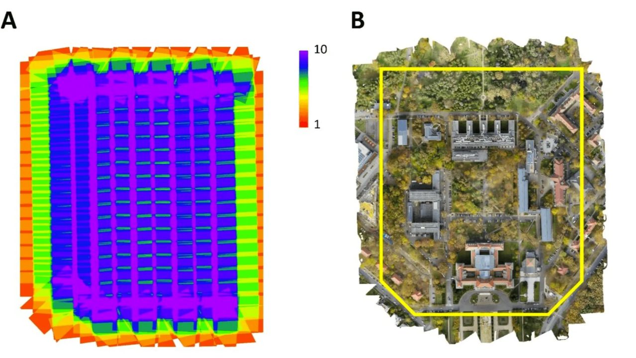
Pix4D stands out for its high-precision outputs and broad compatibility. It supports a wide range of drones and cameras, making it ideal for professionals requiring detailed, survey-grade results. Its modular suite—including PIX4Dmapper, PIX4Dfields, and PIX4Dreact—caters to various industries from agriculture to emergency response.
DroneDeploy: User-Friendly and Scalable
DroneDeploy offers a cloud-based platform known for its intuitive interface and scalability. It’s particularly suited for industries like construction and agriculture, providing real-time data processing and collaborative tools.
DJI Terra: Seamless Integration for DJI Users
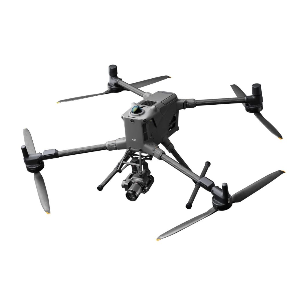
DJI Terra is optimized for users within the DJI ecosystem, offering seamless integration with DJI drones like the Phantom 4 RTK and Matrice series. It excels in real-time 2D and 3D mapping, making it valuable for time-sensitive operations such as disaster response. However, its compatibility is limited to specific DJI models, and it may not deliver the same level of accuracy as Pix4D.
Strategic Recommendations
- For High-Precision Needs: Pix4D is recommended for projects requiring detailed accuracy and flexibility across various hardware.
- For Ease of Use and Collaboration: DroneDeploy is suitable for teams seeking an intuitive platform with robust collaborative features.
- For DJI-Centric Operations: DJI Terra is ideal for users heavily invested in DJI hardware, especially where real-time mapping is crucial.
Selecting the appropriate software hinges on specific project requirements, hardware compatibility, and desired outcomes.
Download our FREE GVC Training Guide
Learn everything you need to know about becoming a drone pilot with our GVC training guide.
- Get a full course roadmap to understand every step of the journey
- Contains clear answers to all of the frequently asked questions
- Get a transparent and comprehensive breakdown of course costs


