Latest from Coptrz
Stay updated with the latest insights, tips, and industry news on our blog. Discover expert advice, success stories, and innovative uses of drone technology. Our blog features a diverse range of topics to keep you informed and inspired.
All Posts

The agricultural landscape is evolving, and drones are leading the charge.
Drones are revolutionising agriculture, transforming traditional practices into data-driven, precision-oriented operations. Beyond mere automation, they are becoming indispensable tools for enhancing productivity, sustainability, and profitability in farming. 1. Precision Spraying: Enhancing Efficiency and Safety Modern agricultural drones equipped with advanced spraying systems enable targeted application of fertilisers and pesticides. This precision reduces chemical usage, minimises […]

Why Drones Are Indispensable in Modern Construction
The construction industry stands at a pivotal juncture, where embracing drone technology is no longer a futuristic concept but a present-day imperative. As the sector grapples with longstanding productivity challenges, drones emerge as a transformative solution, offering unparalleled efficiency, safety, and data accuracy. 1. Accelerated Surveying and Enhanced Efficiency Traditional surveying methods are time-consuming and […]

What is the Difference Between Pix4D, Drone Deploy, and DJI Terra?
When evaluating drone mapping software, Pix4D, DroneDeploy, and DJI Terra each offer distinct advantages tailored to specific operational needs. Here’s a strategic breakdown to guide informed decision-making: Pix4D: Precision and Versatility Pix4D stands out for its high-precision outputs and broad compatibility. It supports a wide range of drones and cameras, making it ideal for professionals […]

Traditional Drone Inspections Are Failing Asset Managers — Here’s the Fix
Let’s cut through the noise. Drone inspections have come a long way. But here’s the truth: if you’re still handling data flight-by-flight, you’re not managing assets — you’re babysitting fragmented video files. And no one has time for that. Asset managers don’t want to sift through raw data. They want clear, consolidated insight into the […]

How is AI transforming UK Law Enforcement? Smarter & Safer Policing with Farsight by Reveal
AI is revolutionising public safety. From real-time video analysis to geospatial intelligence, advanced technologies are helping police forces do more with less. For UK Police, tools like Reveal Farsight are making operations faster, safer, and more cost-effective. In recent years, AI has moved from tech buzzword to practical tool in policing. Advanced algorithms now analyse […]

Sky-High Builders: How Drones Are Reshaping the Future of Construction
The construction industry is undergoing a technological transformation, and drones are at the forefront of this change. Recent UK research, particularly from Imperial College London and the University of Bristol, is exploring how drones can revolutionise construction practices. One of the most promising developments is Aerial Additive Manufacturing (Aerial AM), where drones autonomously deposit materials […]

Drones in Civil Engineering
Drones (unmanned aerial vehicles, UAVs) have become indispensable tools in civil engineering, offering aerial access and data collection for many tasks. They are widely used to capture high-resolution imagery and sensor data, enabling precise 3D models, orthomosaic maps, and inspections that inform design, construction, and maintenance. For example, surveying drones equipped with high-res cameras and […]

Transforming Wastewater Inspections: Drones vs. Traditional Methods
Routine inspection of wastewater infrastructure – from underground pipes to large tanks and clarifiers – is critical for safety and environmental compliance. Traditionally, utilities have relied on confined-space entry, scaffolding, rafts or sled-mounted cameras, and even complex robotic crawlers to inspect sewers, digesters, and clarifiers. These approaches are time-consuming, costly, and pose serious risks to […]

The Elios 3 Drone’s Impact on Safety and Efficiency
In the realm of industrial maintenance, inspecting tall stacks and chimneys has traditionally been a challenging and risky endeavour. Conventional methods often involve scaffolding, rope access, and significant downtime, all of which contribute to increased costs and safety concerns. Enter the Flyability Elios 3 drone—a game-changing solution that’s redefining how industries approach these inspections. Enhancing […]

How Deutsche Bahn Leverages Drone Technology for the Riedbahn Project
Deutsche Bahn (DB), Germany’s leading railway operator, is undertaking a groundbreaking approach to modernise the Riedbahn rail link between Frankfurt and Mannheim. Recognising the challenges of traditional, piecemeal maintenance methods, DB has opted for a comprehensive five-month closure of the entire 70-kilometre section to execute all necessary renovations simultaneously. Central to this ambitious project is […]

Methane Detection: How Drone Technology Enhances Environmental Monitoring
In the realm of environmental monitoring, the detection of methane emissions has traditionally been a labor-intensive and time-consuming process. Conventional methods often involve ground-based inspections or manned aircraft, both of which can be costly, hazardous, and limited in accessibility. Enter drone-based methane detection, a transformative approach that leverages advanced technology to overcome these challenges. The […]

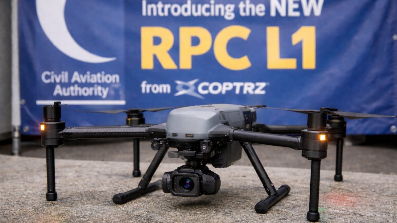
Understanding the New UK SORA Guidelines for Drone Operators
The UK drone industry is entering a new era of safety and regulation. As of April 23, 2025, the Civil Aviation Authority (CAA) has introduced the UK Specific Operations Risk Assessment (SORA) framework, replacing the old Operating Safety Case (OSC) methodology for higher-risk drone missions. This move is more than a bureaucratic change – it’s […]