
In the ever-evolving field of geospatial data collection, efficiency and precision are paramount. Aeromedia U.A.V., S.L., a Spanish aerial survey specialist, recently demonstrated how integrating multiple drone-mounted sensors can achieve both.
The Mission
Tasked with surveying a 10-kilometer corridor encompassing both land and water near the Ruecas reservoir in Cáceres, Spain, Aeromedia faced the challenge of capturing detailed topographic and bathymetric data swiftly and accurately. Traditional methods would have required separate systems for land and underwater surveying, leading to increased time and cost.
The Multi-Sensor Approach
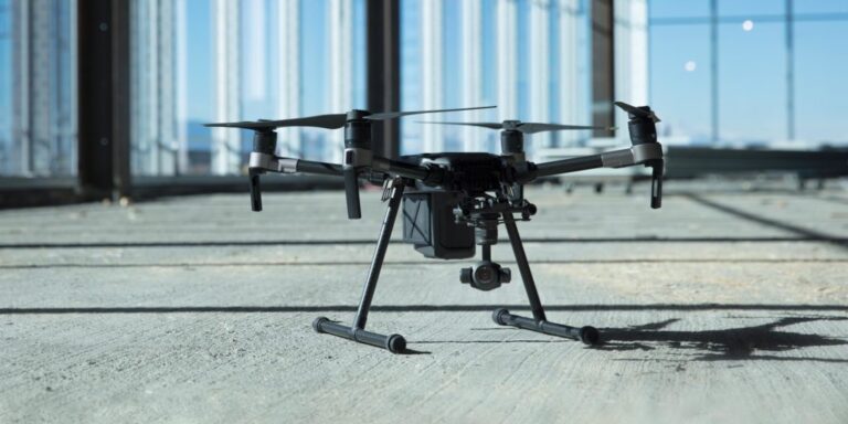
To overcome these challenges, Aeromedia deployed a drone equipped with:
- LiDAR (Light Detection and Ranging): Provided high-resolution 3D terrain data, effectively penetrating vegetation to reveal ground elevations.
- High-Resolution Photogrammetry: Captured detailed surface imagery, enabling the creation of precise 3D models and orthomosaics.
- Airborne Echo Sounder (ECT 400S): A single-beam bathymetric probe developed by SPH Engineering, capable of mapping underwater terrains up to 100 meters deep.
This integrated approach allowed for seamless data collection across diverse terrains, both terrestrial and aquatic, within a single day.
Outcomes and Implications
The mission resulted in comprehensive cartographic products, including Digital Elevation Models (DEMs) and point clouds, all delivered with remarkable efficiency. By consolidating multiple survey technologies into one drone platform, Aeromedia not only reduced operational costs but also set a precedent for future surveying projects.
This case exemplifies how embracing innovative, integrated technologies can revolutionize traditional surveying methods, offering faster, more reliable, and cost-effective solutions.
Download our FREE GVC Training Guide
Learn everything you need to know about becoming a drone pilot with our GVC training guide.
- Get a full course roadmap to understand every step of the journey
- Contains clear answers to all of the frequently asked questions
- Get a transparent and comprehensive breakdown of course costs

Related Posts
DJI Matrice 200 Series: Part 1 – Commercial Applications
Part 1 of a 2 part series, this blog will take you through the different commercial applications the Matrice 200 series is ideal for. The Matrice 200 series are commercial drones from DJI that are built for robustness and durability. Adaptive engineering that makes it suitable for a wide range of commercial applications. It is […]

Drones in Filmmaking – The best drones for the job
Drones in Filmmaking: The best drones for the job, key obstacles and using them to capture the action If you’re an aspiring or experienced filmmaker, or you’re merely interested in how drones can capture the most amazing aerial footage, you’re not alone. From high-budget film crews to amateur vloggers, many of our Coptrz Academy students […]

How Chris Built A Drone Business in 12 Weeks
Want to start your own successful drone business in 12 weeks? Do you want to be your own boss? Does managing your own successful drone business sound of interest to you? What if we told you that you can do that with the help of Coptrz? In this blog post we look at Coptrz Academy […]


