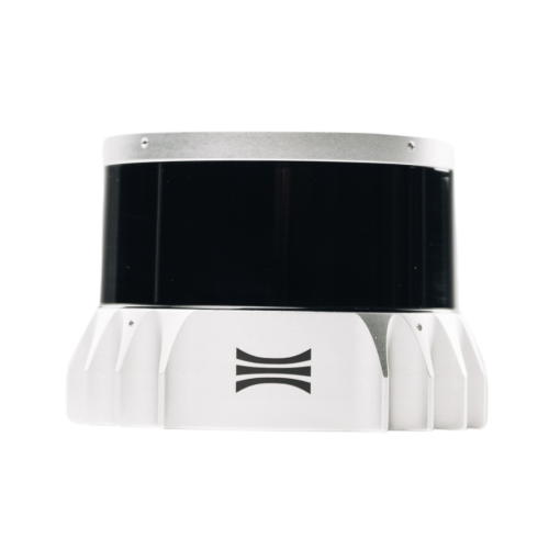
TrueView 540
£46,250.00 excl. VAT
45 MP Full Frame Camera
Advanced Pulse Rate
Engineering-Grade Precision
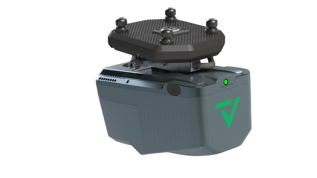
Flexible high-end LiDAR
GeoCue and CHC Navigation bring the most efficient and flexible high-end LiDAR to North America with the new TrueView 540. This next generation of LiDAR elevates our mid-range sensor line, offering enhanced density, improved accuracy, and precision, thereby producing a superior point cloud. The TrueView 540 provides users with a Engineering grade sensor powered by LP360 at a mid-range price, marking a significant advancement in LiDAR accessibility and performance.
High-Density LiDAR Sensor
Utilizing a CHCNAV single-beam laser scanner with a 1535 nm wavelength, the system delivers enhanced density and precision. It provides a 400 m usable range and supports up to 8 returns, making it the most efficient high-end LiDAR in its class.
Professional Photogrammetry
The system features a 45 MP Global Shutter Full Frame Camera with an 81.2 degrees FOV. This allows for the creation of highly accurate colorized point clouds and orthomosaics with minimal motion blur at flight speeds up to 5 m/s.
Multi-Platform Flexibility
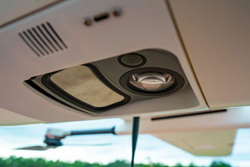
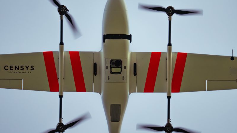
Designed as a lightweight 1.55 kg payload, the TrueView 540 offers flexible integration across numerous drone platforms. It is compatible with DJI, Freefly, Harris Aerial, Skyfront, and Inspired Flight via a simple quick-connect system.
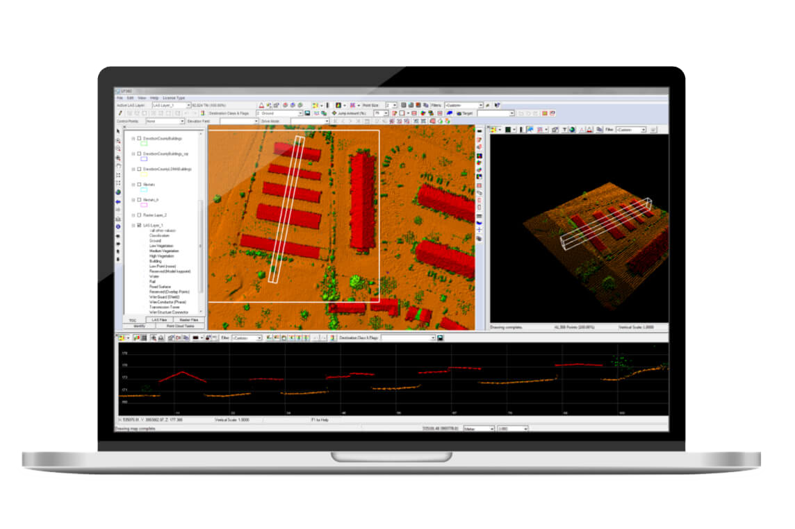
Powered by LP360 Drone
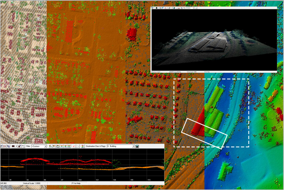
The TrueView 540 provides users with an engineering-grade sensor fully integrated with LP360 Drone software. The system includes specialized modules like Strip Align, Photo, and 3D Accuracy as standard, enabling a "Fly, Optimize, and Deliver" workflow that transforms raw flight data into actionable geospatial results.
A New Standard for Accuracy and Quality
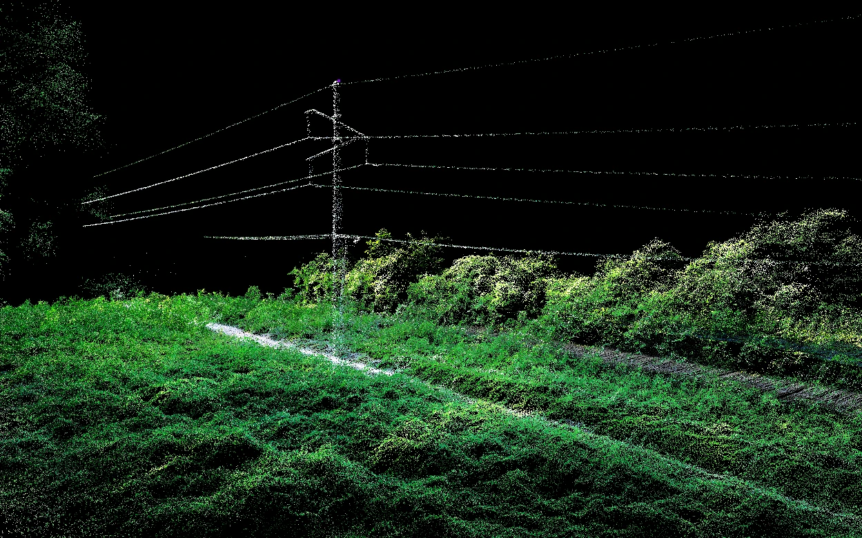
Part of the next generation of LiDAR, the TrueView 540 makes high-end reality capture more accessible than ever. It is the ideal solution for Densely Vegetated Topography, Rail Inspection, and Road Design, offering superior point cloud density and accuracy at a mid-range price point.
Featured Applications
Specifications
| Specification | Value |
|---|---|
| Data Collection | LiDAR + Imagery |
| Laser Scanner | CHCNAV single beam laser scanner - 1535 nm wavelength |
| LiDAR Returns | Up to 8 |
| LiDAR Range - Usable | 400 m for targets with > 20% reflectivity |
| Positioning and Orientation System | CHC |
| Pulse Repetition Rate | Up to 500 kHz |
| Scanner Performance |
|
| GNSS/INS Performance |
|
| System Performance | The TV540 incorporates CHC's PPK navigation solution combined with the scanner's 5 mm repeated ranging accuracy, the system achieves exceptional absolute accuracy from 2 to 5 cm. |
| Camera Sensor | 45 MP Global Shutter Full frame Camera |
| System Operation Temperature Range | -20° to 50° C |
| Mass |
|
What's included
Accessories Parts
TrueView 540 by CHCNAV LiDAR Payload
GNSS Antenna
Sensor Hardcase
Concentric Target
Software/Data Management
LP360 Drone Processing Software
Includes Strip Align, Photo, 3D Accuracy Add Ons
Support
1 year of hardware and software support
Drone Platforms
The TrueView 3D Imaging Sensors are designed as a lightweight payload, offering flexible integration with a wide range of drone platforms. Geocue has worked with several drone manufacturers to help provide customers with a complete drone mapping solution. If your preferred brand isn't listed, get in touch with our team to discuss custom integration options!

Buy TrueView 540
FAQs
The TrueView 540 sensor is manufactured by CHCNAV in China and is delivered with our LP360 Software to process its data. LP360 Software is developed in our Huntsville, Alabama, USA office.
Full system and customer support is provided by GeoCue, at our Huntsville, Alabama, USA office.
The TV540 stands out for its combination of light weight (1.9 Kgs) and exceptional range, LiDAR performance (density, precision, etc.) and camera. Pairing this sensor with LP360 Drone pointcloud processing software provides customers with a seamless, turn-key solution from data collection to optimized deliverables.