Skyshyld‑LRFD (Long Range Fixed Detection)
Skyshyld‑LRFD (Long Range Fixed Detection)
Skyshyld also includes fixed detection systems that monitor protected airspace and detect drone activity across wide areas.
Advanced RF Drone Detection Technology
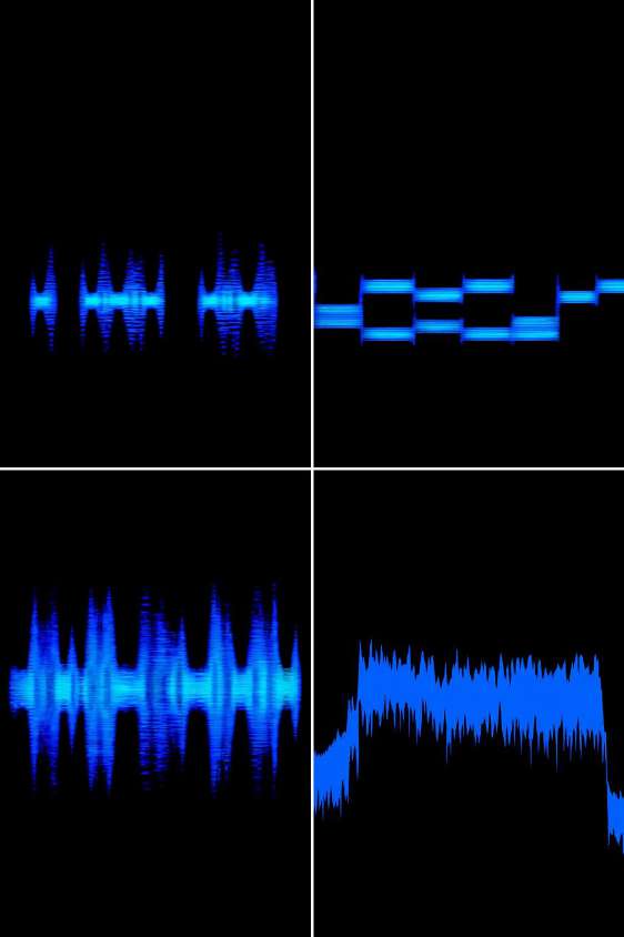
Skyshyld-LRFD uses advanced RF signal processing to detect and classify drone activity across the surrounding airspace. The system continuously scans the radio frequency spectrum to identify communication signals between drones and their controllers.
Using multiple identification modules, the platform analyses detected signals through pattern matching, spectral analysis, and triangulation techniques. This allows the system to recognise both known and unknown drones, enabling accurate detection while minimising false alerts.
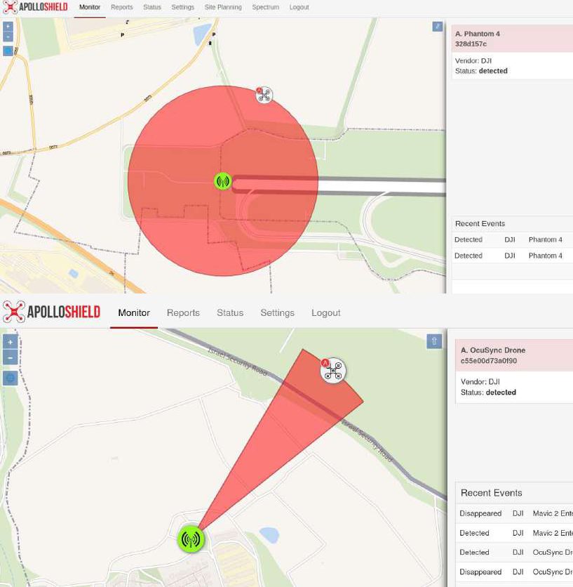
Once a signal is detected, threats are automatically classified, prioritised, and presented to operators through the command and control system for rapid situational awareness.

Multi-Layer Detection Architecture
The Skyshyld-LRFD platform is built on a modular RF-first detection architecture designed for high reliability and scalability. Multiple sensor technologies work together to ensure comprehensive drone detection across a wide area.
Key detection technologies include:
RF fingerprinting
Identifies known drone models through AI-assisted signal pattern matching
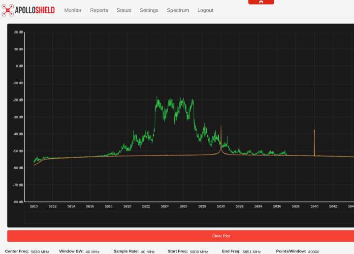
Spectral analysis
Detects unknown, modified, or custom-built drones by analysing RF anomalies
Geolocation modules
Identify the location of both the drone and its operator when supported signals are available
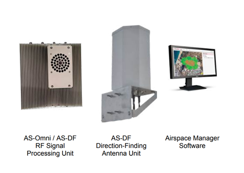
Long-Range Direction-Finding Detection
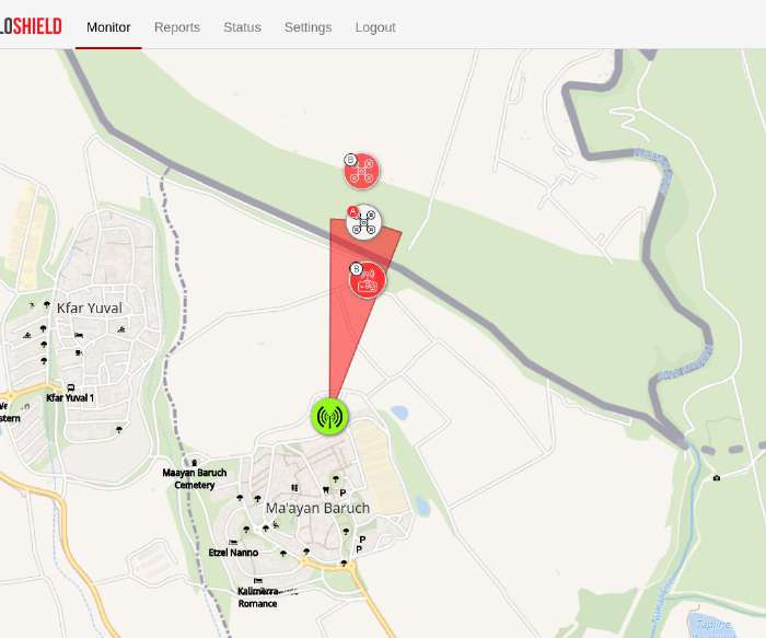
Skyshyld-LRFD utilises long-range direction-finding RF sensors to detect drone communication signals and determine their origin. Direction-finding sensors provide 360-degree coverage and can measure signal direction with high precision.
When multiple sensors are deployed across a site, the system can perform triangulation, combining bearing data from several nodes to determine the real-time location of the drone and increase tracking confidence.
This approach enables organisations to monitor large protected areas and rapidly identify aerial threats approaching critical infrastructure or sensitive locations.