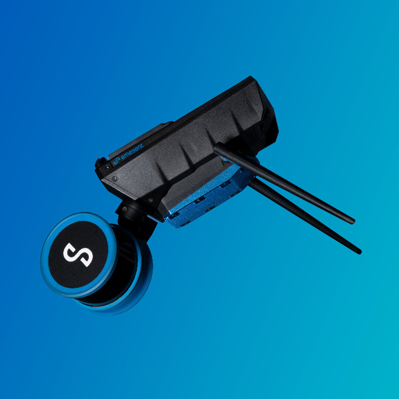
Handheld Scanner
Mobile Mapping with SLAM
Survey anywhere with Hovermap ST-X
Unlock fully mobile 3D mapping with the Hovermap ST-X, a next-generation LiDAR system powered by advanced SLAM (Simultaneous Localisation and Mapping) technology. This cutting-edge solution allows surveyors to capture detailed spatial data in real time - without relying on GPS.
Designed for dynamic environments, SLAM-based mapping lets you walk, drive, or fly through an area while the system builds an accurate 3D map on the move. No static setup required.
With Hovermap ST-X, map complex or GPS-denied environments - like tunnels, forests, mines, or dense infrastructure - up to 10x faster than traditional methods. Ideal for challenging survey scenarios across construction, mining, infrastructure, and asset inspection.
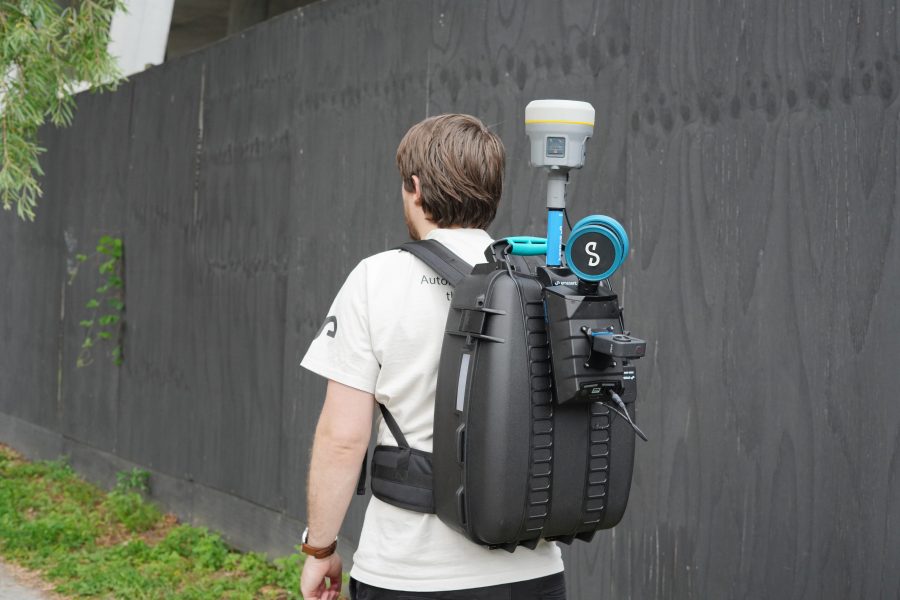
Includes:
- Emesent Hovermap STX
- RTK Backpack (Trimble/ Emlid)
- Colourisation Kit - GoProMax
- Perpetual Aura Licenses - Colourisation/ RTK/ GCPs