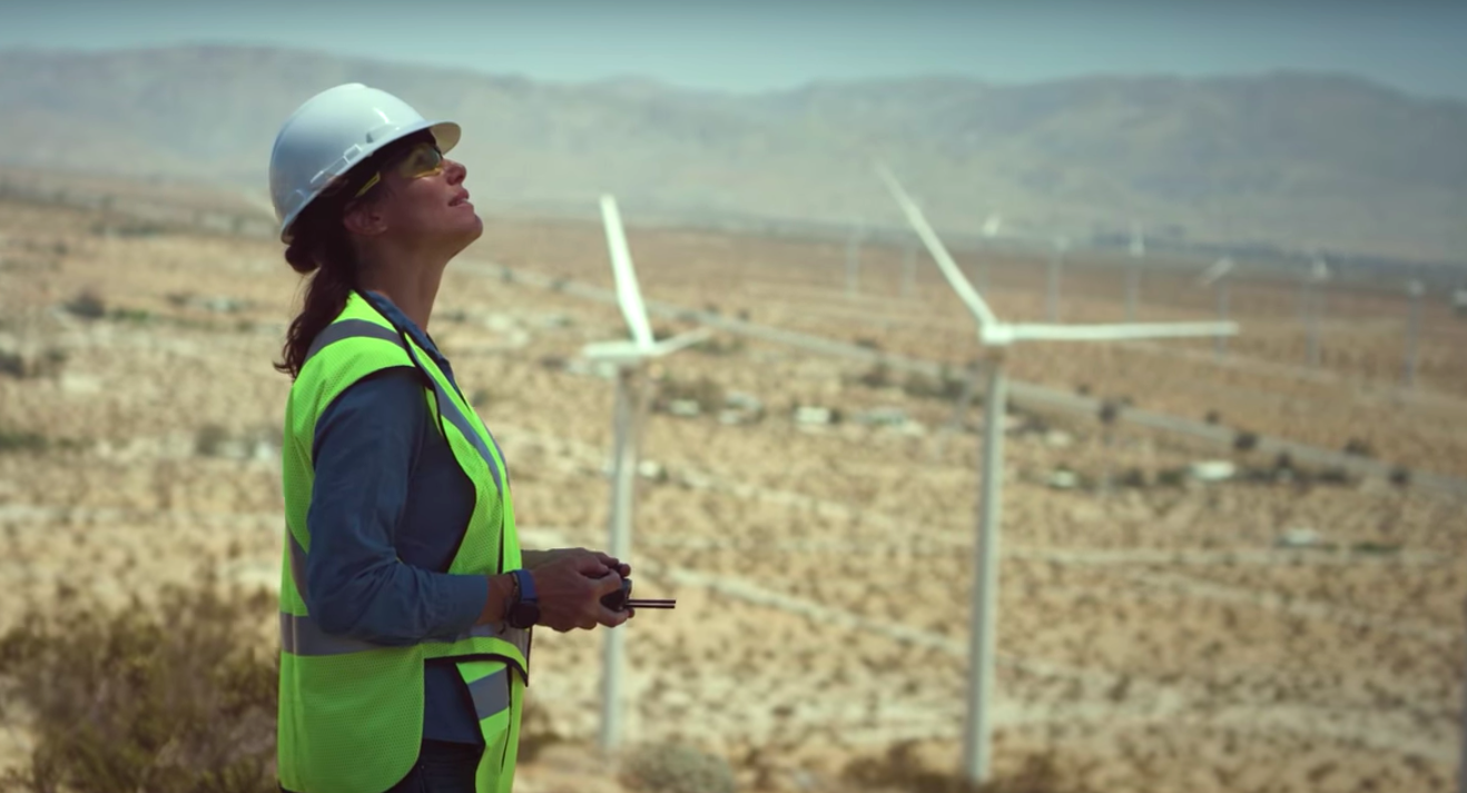
Drone Surveying
Photogrammetry
Accurate 2D and 3D mapping
Capture centimetre-accurate 2D maps and 3D models using drone photogrammetry - delivering true-to-life, georeferenced digital twins for your site. These high-resolution outputs are ideal for tracking project progress, conducting precise measurements, planning workflows, and managing assets efficiently. Photogrammetry is a powerful tool across multiple sectors, including construction, surveying, utilities, infrastructure, and emergency services.

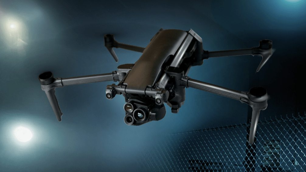
LiDAR
High-precision elevation mapping in any environment
Drone-mounted LiDAR (Light Detection and Ranging) delivers detailed 3D point clouds, even in complex or heavily vegetated environments - such as dense vegetation, uneven terrain, or low-light conditions. With the ability to penetrate tree canopies and capture fine surface details, LiDAR is ideal for generating highly accurate elevation models and terrain data. LiDAR is a trusted solution for sectors like forestry, land surveying, utilities, and infrastructure management - where precision and reliability are critical.
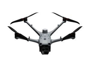
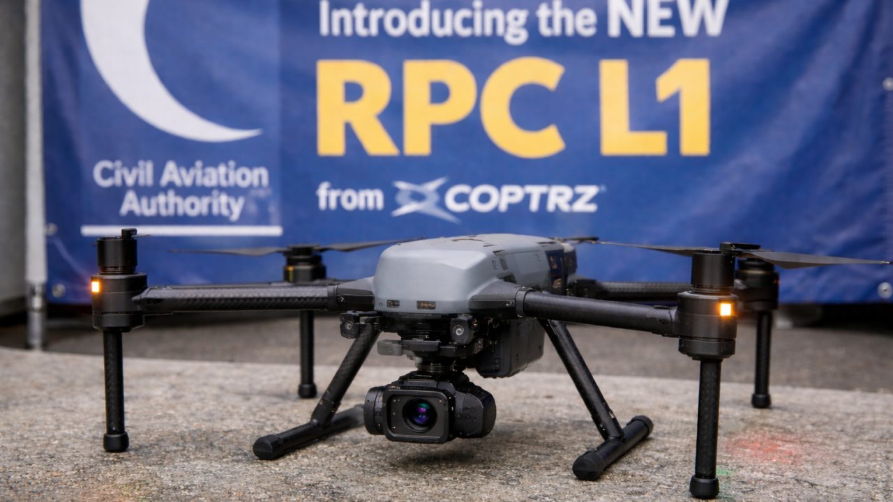
Industry‑Leading Surveying Drones
& Equipment Backed by Expert Support