Fixed Wing VS Multirotor: Who wins?
The use of drones for surveying and mapping has expanded in recent years as geospatial and construction companies realise the benefits that these systems provide. Today’s drones can collect much more detailed data than traditional survey methods allowing 3D maps to be created and shared easily online.
But these advances in technology have created a problem. While only a few years ago the choice of drones available for commercial use was limited, today there are literally hundreds of UAVs available in many different configurations. For new users, this can make it difficult to choose the right drone for the job. So in this post, we are going to look at the choices available for surveying applications.
Before we go on, we should point out that there is no right or wrong answer here. The correct drone for you will depend on the type of surveying you intend to carry out, the size of your plot and the terrain you intend to cover. This post is designed to show you the benefits of each device and the types of surveying they are most suitable for.
You can also watch a condensed version of this blog below:
Fixed-Wing vs. Multirotor
When choosing a drone for commercial surveying, the first decision you’ll be faced with is whether to go for a fixed-wing or multirotor aircraft. This is an important decision to make because each has its own advantages. Most people go for a multirotor by default but there are some great hybrid options now available designed specifically for mapping.
Multirotor UAVs
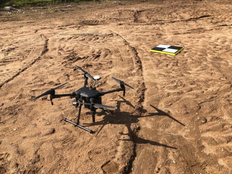
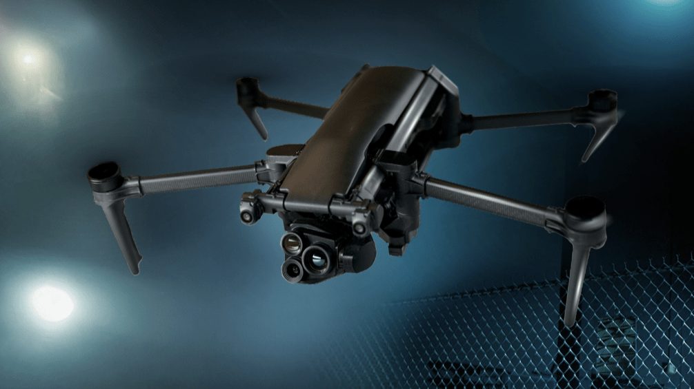
These are the most common types of drone available and make up the vast majority of commercial and consumer models available. Many different configurations are available but they generally follow the same design principle. There is a central chassis which connects up to eight fixed-pitched propellers to control the speed, direction and elevation of the aircraft.
These propellers control the direction and elevation of the aircraft by varying the speed of each propeller to alter the amount of thrust and torque produced. This gives the aircraft a unique set of handling characteristics, allowing it to fly with extreme precision in both enclosed and open space.

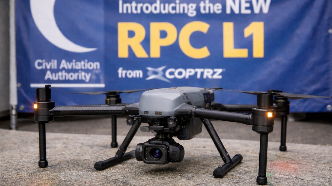
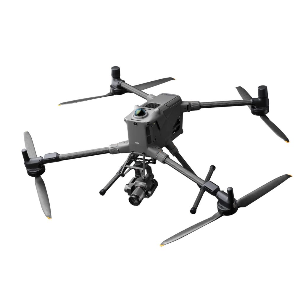
The four-propeller multirotor (quadcopter) is the most popular design because it provides the best balance between lift, control, manoeuvrability and cost. The DJI Matrice 200 series is a good example of a four-propeller drone, with the DJI Matrice 210 RTK providing an adequate payload of up to 2KG, and a range of up 7KM, more than enough for most surveying applications. You may also want to look into the Phantom 4 RTK, a more affordable but effective surveying solution.
Operators that require more lifting capacity may want to opt for the DJI Wind 8, eight-rotor (octocopter) which can lift an incredible 10KG. When combined with its 39 min flight time, this model represents the ultimate high-performance drone capable of carrying out in-depth surveys across all types of terrain and weather conditions.
While multirotor drones provide a number of advantages for surveying compared to fixed-wing aircraft. That doesn’t mean they are the de facto choice for surveying. Operators should review the pros and cons of each before making a final decision.
Pros
Greater manoeuvrability – One of the biggest advantages of multirotor aircraft is their manoeuvrability compared to fixed-wing aircraft. This enables them to fly in areas other drones can’t reach, hover in a stationary position and provide vertical take-off and landing (VTOL) ability.
Compact design – Because they don’t have wings, multirotors are compact enough to carry around in a compact case. This makes them suitable for surveying professionals who travel from job to job. Even the largest quad and hexacopters are small enough to carry around in the boot of a car.
Ease of use – Multirotors are very easy to control and can fly in any direction. They can also operate in headless mode which aligns drone movements relative to the controller. So the drone always moves forward no matter which direction it is facing.
Cost effective design – Multirotors are much more cost effective than their fixed-wing counterparts which can cost twice as much as a similarly equipped multirotor. And with DJI recently announcing a price reduction for the enterprise-grade DJI Matrice 210, it makes even more financial sense to go down the quadcopter route.
Increased payload capacity – Multirotors can carry much more payload than a fixed-wing aircraft. This can come in handy if you need to carry a range of sensors including thermal imaging and multiple HD cameras.

Cons
Reduced range – The one disadvantage of multirotor aircraft is their reduced range and speed compared to fixed-wing aircraft. With a typical range of around 7KM, this is seldom an issue for most applications, but if you have a large area to survey you may want to opt for a fixed-wing aircraft instead.
Fixed-wing UAVs
Fixed-wing drones will be familiar to everyone since they look like conventional aircraft. There are a number of different configurations available, but typically they have a fuselage with two wings and a single rotor. Fixed-wing aircraft are most popular in the agricultural and oil and gas industries since they can cover large areas at high speed. They are less common for surveying applications but do have some interesting characteristics that users may find useful.
Pros
Increased range – The main advantage of fixed-wing aircraft is their ability to cover great distances on a single battery. Due to their superior engine efficiency, most commercial models can fly for an hour or more and cover around 400 hectares. This makes them ideal for surveying oil pipelines or electricity pylons.
Ability to recover from power loss – One overlooked benefit of fixed-wing drones is their ability to recover from a total power failure. The sudden loss of power in a multirotor can result in complete loss of the aircraft. But a fixed-wing drone is able to continue flying, and more importantly, land safely without power.
Greater stability – Because fixed-wing drones are designed like conventional aircraft they are better able to withstand side winds. This is an important consideration if you intend to survey areas which are exposed to windy conditions such as electricity pylons in open countryside.
Cons
Take-off and landing area required – Most fixed-wing drones require a substantial distance for take-off and landing. The actual distance required will depend on the model and its configuration, so you need to check the specifications of the model before purchase.
Increased cost – Fixed-wing drones are usually more expensive than their multirotor counterparts. Although the price disparity is coming down a little, a well equipped fixed-wing drone will cost approximately twice as much as a similarly equipped multirotor.
More difficult to fly – Because fixed-wing drones behave like normal aircraft, pilots need to think ahead to avoid obstacles. This can be a challenge for new pilots or those transitioning from multirotor aircraft.
Less manoeuvrable – Fixed-wing aircraft are less manoeuvrable than multirotor aircraft. This can present a challenge for some survey applications, especially those in confined spaces where the drone needs to turn quickly.
Larger airframe – The airframes of commercial grade fixed-wing drones are significantly larger than a similarly specified multirotor. While most models can be disassembled the individual components are still large and require a significant amount of space for transportation.
You can see a summary of the advantages of both fixed-wing and multi-rotor in this infographic:

WingtraOne VTOL: the best of both worlds
Looking at the above, it should be obvious that the multirotor is the prefered choice for most survey applications. But fixed-wing aircraft have some advantages that may be useful to have. So wouldn’t it be nice if you could find a drone that had the speed and range advantage of a fixed wing, with the manoeuvrability and practicality of a multirotor?

With the WingtraOne fixed-wing drone, you can. This relatively compact drone combines vertical take-off and landing (VTOL) capabilities with a traditional two-rotor fixed-wing design. This allows the drone to take-off and land like a multirotor but fly like a fixed-wing aircraft. This combination allows the WingtraOne to cover ten times more ground than a multirotor while collecting two times more data thanks to its 42MP camera.
The small wingspan of the WingtraOne also enables it to turn more acutely than a conventional fixed-wing drone. While it can’t quite match the ultra manoeuvrability of a multirotor it is more than capable of surveying a small field or construction site. The compact size also allows it to be transported easily from site to site.
And just like a multirotor, the WingtraOne can operate in fully autonomous mode. The flight path, take-off and landing can all be handled by the onboard computer without any human interaction whatsoever. This makes flying the drone much easier than a conventional fixed-wing aircraft and removes the risk of injury during take-off and landing.
While the WingtraOne is not right for every survey application it is certainly the drone of choice for surveying large areas of land, construction sites, railway lines or quarries.
Which drone is right for you?
If you’ve got this far you should have a good idea about which type of drone will suit your application. In most cases, a quadcopter, such as the DJI Matrice 300 series, will do the job just fine. It has good range, excellent manoeuvrability, is easy to fly, cost-effective and can be fitted with a range of sensor equipment.
Finally, if you survey large open tracts of land and don’t require a drone with hover capability, a fixed-wing aircraft will suit you well. A drone such as the WingtraOne VTOL is just such a drone which has been specifically designed for surveying and mapping large areas.
If you would like more information about the DJI range of multirotor aircraft or the WingtraOne, get in touch with us here. Our specialists can help you choose the right drone for your application and we can arrange demonstration flights to show the capabilities of each drone in our range.
Download our FREE GVC Training Guide
Learn everything you need to know about becoming a drone pilot with our GVC training guide.
- Get a full course roadmap to understand every step of the journey
- Contains clear answers to all of the frequently asked questions
- Get a transparent and comprehensive breakdown of course costs


