LP360 Cloud
From £857.73 excl. VAT
Use LP360 Cloud to Make Your Geospatial Work Easier
LP360 Cloud is an ever-growing collection of cloud-based add-ons, resources and processing tools. Thanks to the power of the cloud we can offer tools that will make it easy for you to manage, archive, share and collaborate on geospatial projects. As is true with all LP360 software, we are always building it around you; see below for the latest that LP360 Cloud has to offer.
Key Features
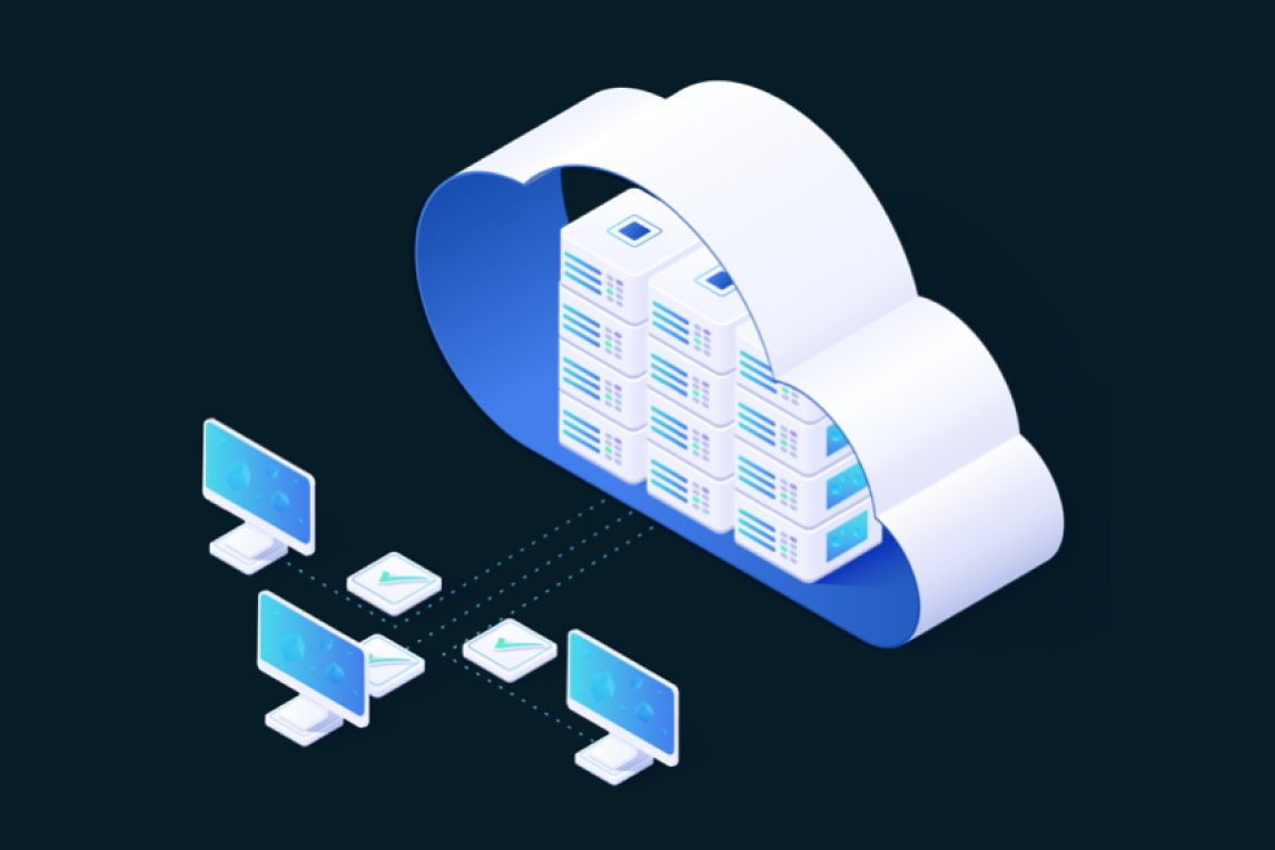
LP360 Cloud Collaborate
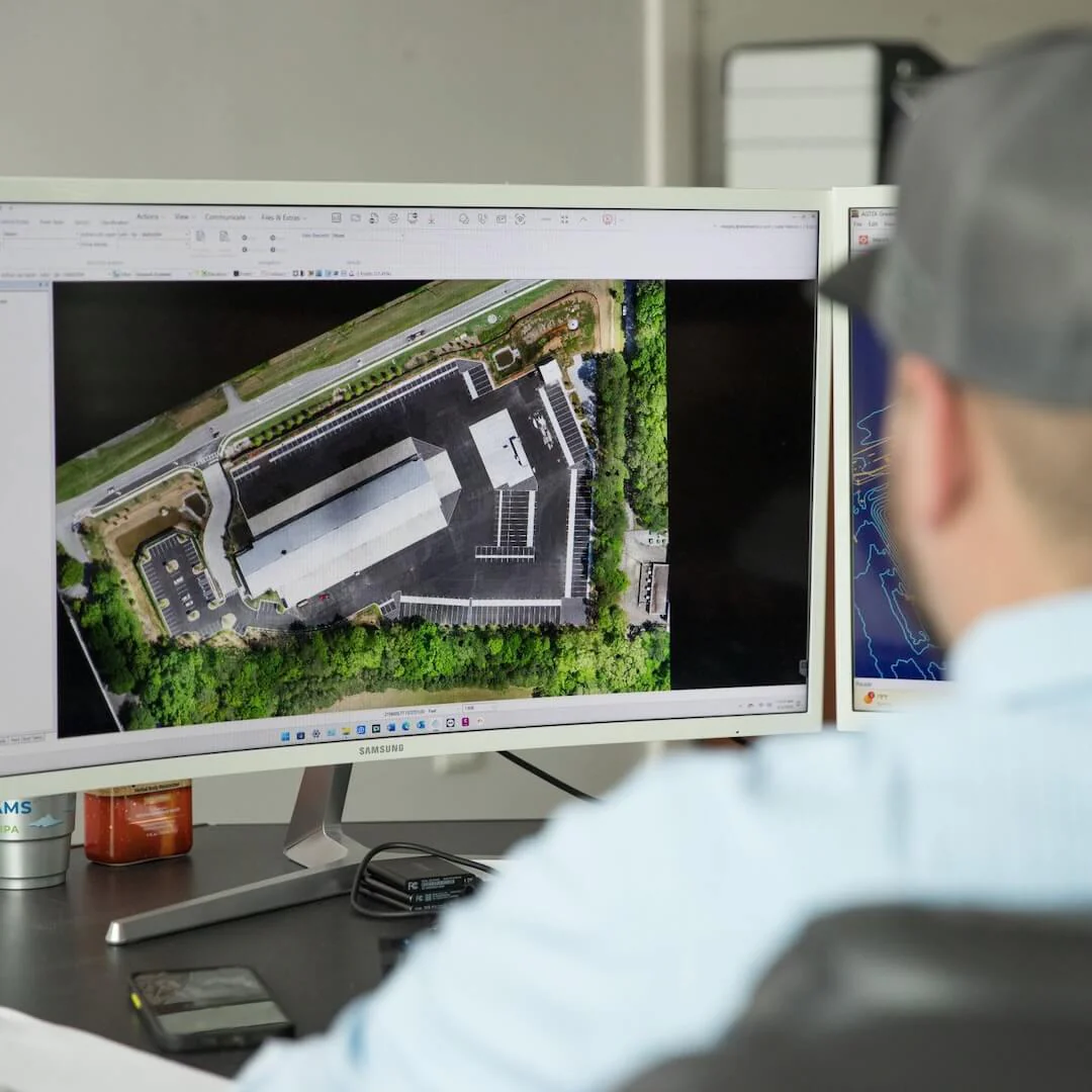
LP360 Cloud Collaborate allows you to access the LP360 Cloud Streaming, Viewer, Storage, and PowerSearch. Securely store all your LP360 data in one centralized location and work efficiently on large projects by streaming and sharing only the data you need in real-time.
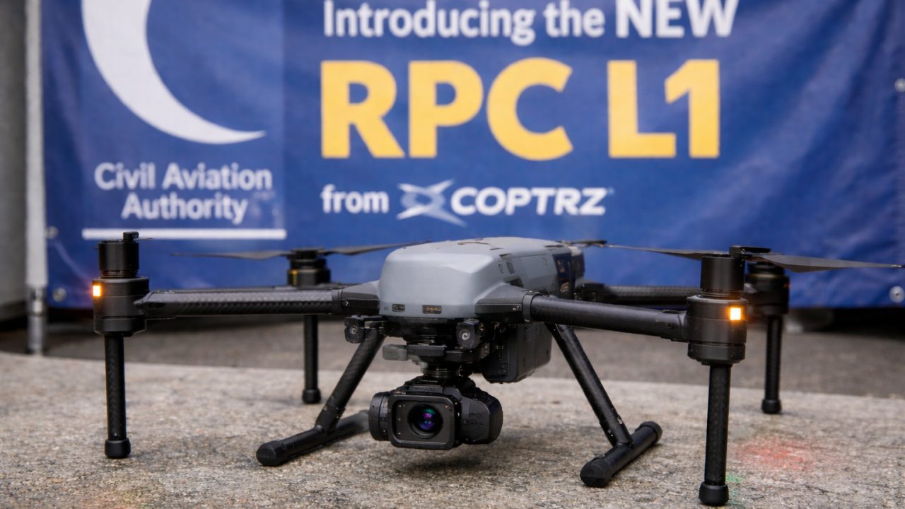
DJI L1/L2 Cloud Batch Processing
Process your DJI L1/L2 data efficiently and automatically from Raw Data directly in LP360 using DJI Terra Cloud. Streamline your workflow by processing multi-flights concurrently directly from raw files, saving significant time while enhancing accuracy.
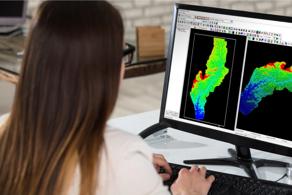
Auto AI Ground Classification
Leverage the power of AI and the Cloud to process computer-intensive automatic ground classification. Access the Cloud AI Ground Classifier directly from your desktop in LP360 for single-click submission of automatic ground classification jobs.
Commercial Uses


Maximize your workflow with add-on products
LP360 Cloud is an ever-growing collection of cloud-based tools and resources that will make it easy for you to manage, archive, share and collaborate on geospatial projects. As is true with all LP360 software, we are always building it around you; see below for the latest that LP360 Cloud has to offer.
Cloud Collaborate
£857.73 / year excl. VAT
LP360 Cloud Collaborate allows to access the LP360 Cloud Streaming, Viewer, Storage, and PowerSearch.
- Upload and store data online
- Share your data easily
- 200GB of data storage included
- 1 user included
- Search your data online by geographical location
- View your data online
- Stream your data instead of downloading it - up to 50 GB/month
DJI L1/L2 Cloud batch processing
£571.82 / year excl. VAT
Process your DJI L1/L2 data efficiently and automatically from Raw Data directly in LP360 using DJI Terra Cloud.
- Automatically process DJI L2/L1 data from raw flight data
- Process multi flight concurrently, making your multi flight processing faster
- Handle flight with RTK, or PPK/Base Station processing seamlessly
- Convert your data to your coordinate system
- Includes 20 flights per month
- 1 user included
Auto AI Ground Classification
£1,258.00 / year excl. VAT
Leverage the power of AI and the Cloud to process computer intensive automatic ground classification.
- Access to the Cloud AI Ground Classifier directly from your desktop in LP360
- Single click submission of automatic AI ground classification job
- Includes 5 regular jobs per month (regular job means 0 to 10GB project.)
- 1 user included
Buy LP360 Cloud
FAQs
LP360 Cloud Collaborate is a centralized platform for managing, archiving, and sharing geospatial projects. It allows teams to work efficiently on large projects by streaming only the data needed in real-time. With the PowerSearch feature, you can instantly localize all available datasets within a specific geographical area, making data retrieval seamless.
This variant allows you to process raw DJI L1 or L2 flight data directly in the cloud via LP360. By bypassing local machine limitations, you can process multiple flights concurrently. This "Cloud Batch" approach significantly reduces processing time while maintaining high-quality accuracy for large-scale DJI drone missions.
Auto AI Ground Classification leverages the power of the cloud and deep learning to handle computer-intensive ground extraction. With a single click, you can submit jobs directly from your desktop to the cloud. The AI is specifically trained to segment bare earth points from complex vegetation and structures, providing professional-grade results without manual filtering.
Yes. LP360 Cloud is designed to extend the capabilities of your LP360 Desktop software. While the processing and data management happen in the cloud, you initiate jobs and view the results through the desktop interface, ensuring a professional GIS environment for final analysis.
Absolutely. LP360 Cloud utilizes state-of-the-art security protocols and encryption. Data is securely hosted on AWS (Amazon Web Services), ensuring that your geospatial assets are archived and shared within a protected, high-performance environment.
Yes. One of the core benefits of Cloud Collaborate is the ability to stream and share point clouds. This allows project stakeholders to view and inspect data via the cloud viewer instantly, removing the need to transfer massive LAS files between offices or clients.